- Dadswells Bridge, Victoria
-
Dadswells Bridge
Victoria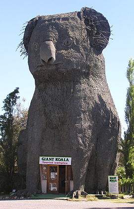
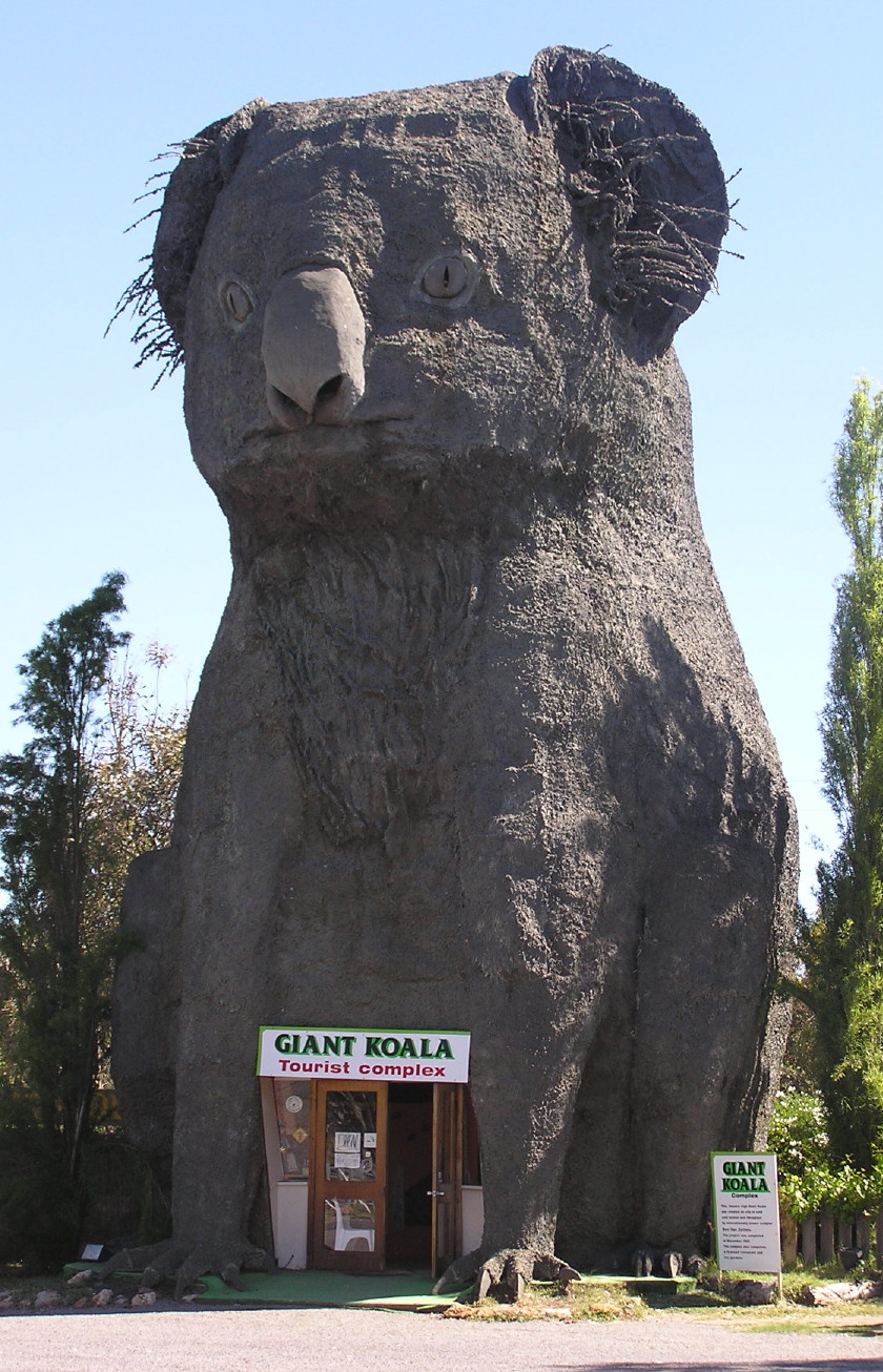
The Giant Koala at Dadswells Bridge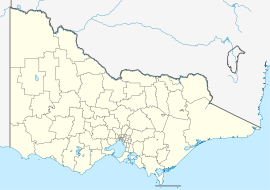
 Dadswells Bridge
Population: 172[1] Postcode: 3385 Coordinates: 36°54′57″S 142°30′40″E / 36.91583°S 142.51111°ECoordinates: 36°54′57″S 142°30′40″E / 36.91583°S 142.51111°E Location: Dadswells Bridge is a town in Victoria, Australia, located along the Western Highway in the Wimmera region. At the 2006 census, Dadswells Bridge had a population of 172.[1]
References
- ^ a b Australian Bureau of Statistics (25 October 2007). "Dadswells Bridge (State Suburb)". 2006 Census QuickStats. http://www.censusdata.abs.gov.au/ABSNavigation/prenav/LocationSearch?collection=Census&period=2006&areacode=SSC25431&producttype=QuickStats&breadcrumb=PL&action=401. Retrieved 27 April 2010.
- ^ Travelmate
Cities and towns in the Wimmera region of Victoria Cities: Ararat · Horsham
Towns/Communities: Antwerp · Apsley · Armstrong · Balmoral · Beulah · Birchip · Brim · Callawadda · Dadswells Bridge · Dimboola · Donald · Douglas · Edenhope · Glenorchy · Goroke · Great Western · Halls Gap · Harrow · Haven · Jeparit · Joel Joel · Lawloit · Kaniva · Marnoo · Minimay · Minyip · Murtoa · Natimuk · Netherby · Nhill · Pimpinio · Pomonal · Rainbow · Rupanyup · Serviceton · St Arnaud · Stawell · Tarraginnie · Telopea Downs · Wallup · Warracknabeal · Wartook · Willenabrina · YaapeetCategories:- Towns in Victoria (Australia)
- Victoria (Australia) geography stubs
- Wimmera

Wikimedia Foundation. 2010.