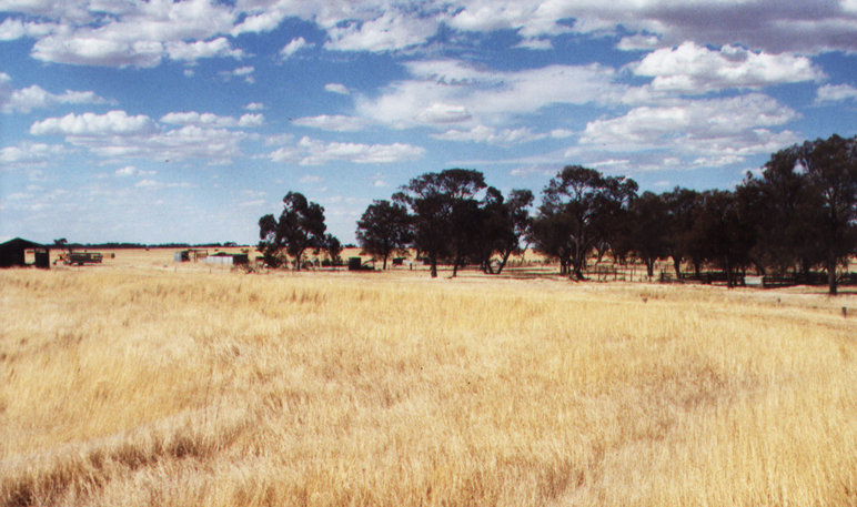
- Willenabrina, Victoria
Infobox Australian Place | type = town
name = Willenabrina
city =
state = vic

caption = Willenabrina, Victoria.
lga =Shire of Yarriambiack
postcode = 3393
pop = 173
area =
propval =
stategov = Lowan
fedgov = Mallee
dist1 = 380
dir1 = NW
location1=Melbourne
dist2 = 76
dir2 = N
location2= Horsham
dist3 = 31
dir2 = NW
location3= Warracknabeal
dist4 = 27
dir4 = E
location4= JeparitWillenabrina is a small farming district located midway between the towns of Warracknabeal and Rainbow in the
Wimmera region of northwest Victoria,Australia .History
)Citation
last = Premier Postal History | title = Post Office List | url = https://www.premierpostal.com/cgi-bin/wsProd.sh/Viewpocdwrapper.p?SortBy=VIC&country= | accessdate = 2008-04-11 ] , Willenabrina failed to develop when the railway line route beyond Warracknabeal was redirected. A few small shops, a school, a community hall, and a couple of churches, existed around the time of the
First World War , along with a sports oval and tennis courts, however none of these facilities remain today.References
External links
* [http://www.fallingrain.com/world/AS/7/Willenabrina.html Maps, Weather, and Airports Information for Willenabrina, Australia]
Wikimedia Foundation. 2010.
