- Nógrád County
-
Nógrád County Salgótarján, seat of Nógrád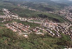
Coat of arms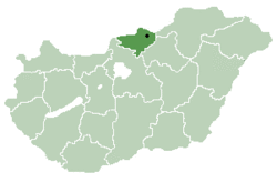
Country Hungary Region Northern Hungary County seat Salgótarján Area – Total 2,544 km2 (982.2 sq mi) Population – Total 210,200 – Density 82.6/km2 (214/sq mi) Nógrád is a county (Hungarian: megye) of Hungary.
Contents
Description
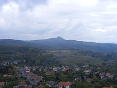 View of Salgó Castle in northern Nógrád
Nógrád county lies in northern Hungary. It shares borders with Slovakia and the Hungarian counties Pest, Heves and Borsod-Abaúj-Zemplén. The capital of Nógrád county is Salgótarján. Its area is 2544 km².
Nógrád is famous for its historic architecture of ancient Gothic churches and stone castles dated back to the 13th century. Other historic landmark includes the baroque buildings constructed in the 18th century and the Vay, Teleki. [1]. Much of the northern border of the county is formed by the river Ipoly. The mountain ranges Börzsöny, Cserhát and Mátra lie partly in the county.
Due to the mountains, the county is characterised by small villages nestled in the valleys. The two largest settlements are Balassagyarmat, the former county seat, and Salgótarján, which has become a center of industry in the early 20th century due to coalmines nearby.
History
Main article: Nógrád County (former)Nógrád (-Hungarian, in Latin: comitatus Neogradiensis, in German: Neuburg or Neograd, in Slovak: Novohrad) was also the name of a historic administrative county (comitatus) of the Kingdom of Hungary. Its territory is presently in southern Slovakia and in northern present-day Hungary. The name Novohrad is still used in Slovakia as an informal designation of the corresponding territory. The name stems from the former Nógrád (Novohrad) castle in present-day Hungary.
Regional structure
City with county rights
- Salgótarján (county seat)
Cities and towns
(ordered by population, according to the 2001 census)
- Balassagyarmat (17,906)
- Bátonyterenye (15,207)
- Pásztó (10,330)
- Szécsény (6,580)
- Rétság (3,067)
Villages
- Alsópetény
- Alsótold
- Bánk
- Bárna
- Becske
- Bér
- Bercel
- Berkenye
- Bokor
- Borsosberény
- Buják
- Cered
- Csécse
- Cserháthaláp
- Cserhátsurány
- Cserhátszentiván
- Csesztve
- Csitár
- Debercsény
- Dejtár
- Diósjenő
- Dorogháza
- Drégelypalánk
- Ecseg
- Egyházasdengeleg
- Egyházasgerge
- Endrefalva
- Erdőkürt
- Erdőtarcsa
- Érsekvadkert
- Etes
- Felsőpetény
- Felsőtold
- Galgaguta
- Garáb
- Héhalom
- Herencsény
- Hollókő
- Hont
- Horpács
- Hugyag
- Iliny
- Ipolytarnóc
- Ipolyvece
- Jobbágyi
- Kálló
- Karancsalja
- Karancsberény
- Karancskeszi
- Karancslapujtő
- Karancsság
- Kazár
- Keszeg
- Kétbodony
- Kisbágyon
- Kisbárkány
- Kisecset
- Kishartyán
- Kozárd
- Kutasó
- Legénd
- Litke
- Lucfalva
- Ludányhalászi
- Magyargéc
- Magyarnándor
- Márkháza
- Mátramindszent
- Mátranovák
- Mátraszele
- Mátraszőlős
- Mátraterenye
- Mátraverebély
- Mihálygerge
- Mohora
- Nagybárkány
- Nagykeresztúr
- Nagylóc
- Nagyoroszi
- Nemti
- Nézsa
- Nógrád
- Nógrádkövesd
- Nógrádmarcal
- Nógrádmegyer
- Nógrádsáp
- Nógrádsipek
- Nógrádszakál
- Nőtincs
- Őrhalom
- Ősagárd
- Palotás
- Patak
- Patvarc
- Piliny
- Pusztaberki
- Rákóczibánya
- Rimóc
- Romhány
- Ságújfalu
- Sámsonháza
- Sóshartyán
- Szalmatercs
- Szanda
- Szarvasgede
- Szátok
- Szécsénke
- Szécsényfelfalu
- Szendehely
- Szente
- Szilaspogony
- Szirák
- Szügy
- Szuha
- Szurdokpüspöki
- Tar
- Terény
- Tereske
- Tolmács
- Vanyarc
- Varsány
- Vizslás
- Zabar
-
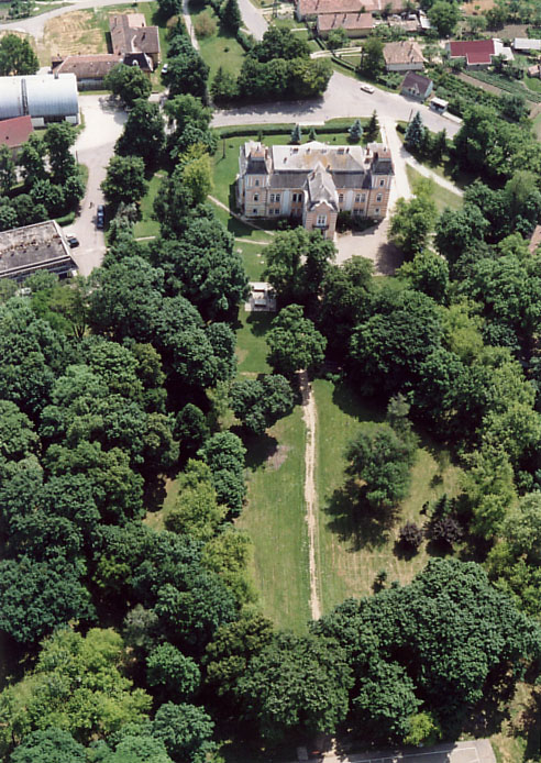
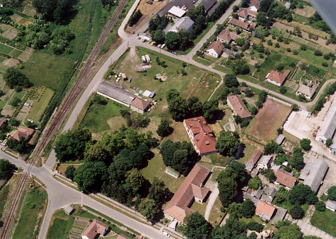
Keszeg - Palace from above
-

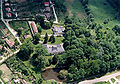
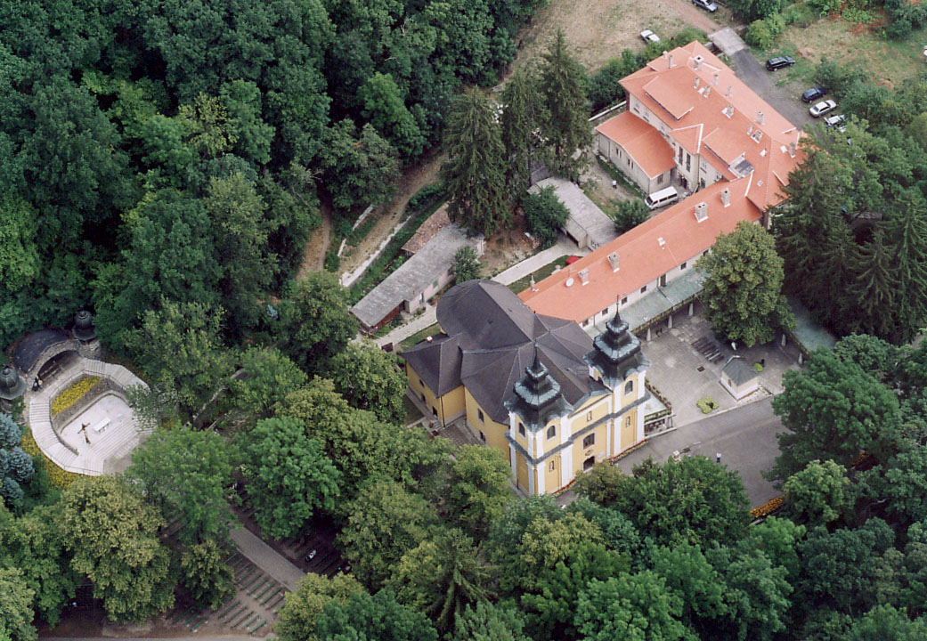
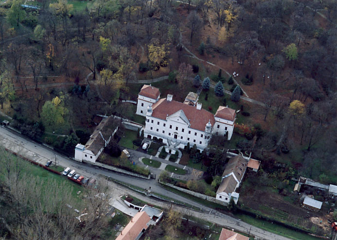
Franciscan Convent - Mátraverebély
-

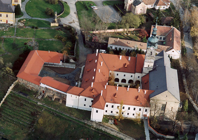
Franciscan Convent Szécsény - aerial photo
-

Nézsa - Palace
-

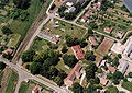
Terske - house from above
-

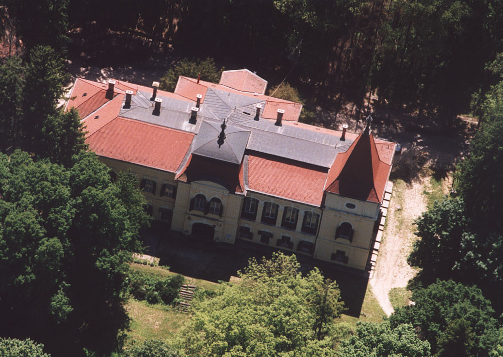
Aerial Photography: Szirák - Palace
-

Romhány - Laszkáry palace
-
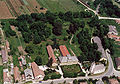
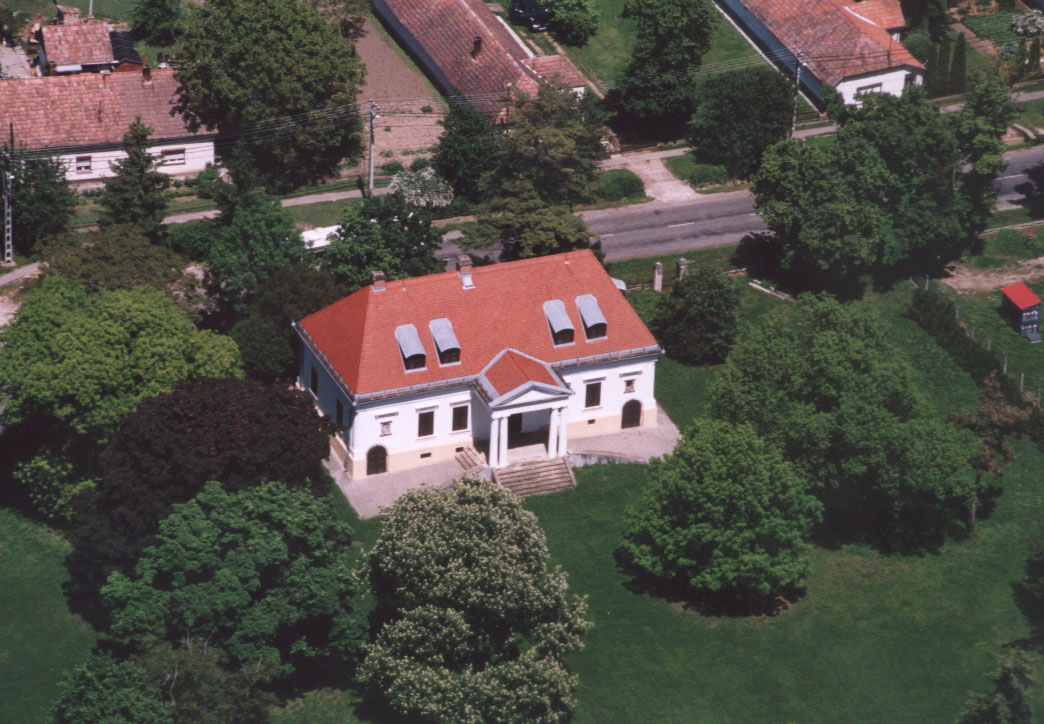
Keszeg - Huszár Palace
-

Csesztve - House
-
Alsópetény - Palace
-

Alsópetény - Palace.jpg
-
Tolmács - Szentiványi Palace
External links
Cities and towns 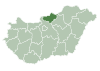
Villages Alsópetény · Alsótold · Bánk · Bárna · Becske · Bercel · Berkenye · Bér · Bokor · Borsosberény · Buják · Cered · Cserháthaláp · Cserhátsurány · Cserhátszentiván · Csesztve · Csécse · Csitár · Debercsény · Dejtár · Diósjenő · Dorogháza · Drégelypalánk · Ecseg · Egyházasdengeleg · Egyházasgerge · Endrefalva · Erdőkürt · Erdőtarcsa · Etes · Érsekvadkert · Felsőpetény · Felsőtold · Galgaguta · Garáb · Herencsény · Héhalom · Hollókő · Hont · Horpács · Hugyag · Iliny · Ipolytarnóc · Ipolyvece · Jobbágyi · Karancsalja · Karancsberény · Karancskeszi · Karancslapujtő · Karancsság · Kazár · Kálló · Keszeg · Kétbodony · Kisbágyon · Kisbárkány · Kisecset · Kishartyán · Kozárd · Kutasó · Legénd · Litke · Lucfalva · Ludányhalászi · Magyargéc · Magyarnándor · Márkháza · Mátramindszent · Mátranovák · Mátraszele · Mátraszőlős · Mátraterenye · Mátraverebély · Mihálygerge · Mohora · Nagybárkány · Nagykeresztúr · Nagylóc · Nagyoroszi · Nemti · Nézsa · Nógrád · Nógrádkövesd · Nógrádmarcal · Nógrádmegyer · Nógrádsáp · Nógrádsipek · Nógrádszakál · Nőtincs · Őrhalom · Ősagárd · Palotás · Patak · Patvarc · Piliny · Pusztaberki · Rákóczibánya · Rimóc · Romhány · Ságújfalu · Sámsonháza · Sóshartyán · Szalmatercs · Szanda · Szarvasgede · Szátok · Szendehely · Szente · Szécsénke · Szécsényfelfalu · Szilaspogony · Szirák · Szuha · Szurdokpüspöki · Szügy · Tar · Terény · Tereske · Tolmács · Vanyarc · Varsány · Vizslás · ZabarOther topics History · Geography · Government · Economy · Culture · TourismCounties of Hungary Counties Bács-Kiskun · Baranya · Békés · Borsod-Abaúj-Zemplén · Csongrád · Fejér · Győr-Moson-Sopron · Hajdú-Bihar · Heves · Jász-Nagykun-Szolnok · Komárom-Esztergom · Nógrád · Pest · Somogy · Szabolcs-Szatmár-Bereg · Tolna · Vas · Veszprém · Zala
Urban counties Békéscsaba · Budapest (capital) · Debrecen · Dunaújváros · Eger · Érd · Győr · Hódmezővásárhely · Kaposvár · Kecskemét · Miskolc · Nagykanizsa · Nyíregyháza · Pécs · Salgótarján · Sopron · Szeged · Székesfehérvár · Szekszárd · Szolnok · Szombathely · Tatabánya · Veszprém · ZalaegerszegNUTS regions of Hungary NUTS 1 NUTS 2 NUTS 3 Bács-Kiskun · Baranya · Békés · Borsod-Abaúj-Zemplén · Budapest · Csongrád · Fejér · Győr-Moson-Sopron · Hajdú-Bihar · Heves · Jász-Nagykun-Szolnok · Komárom-Esztergom · Nógrád · Pest · Somogy · Szabolcs-Szatmár-Bereg · Tolna · Vas · Veszprém · ZalaCategories:


Wikimedia Foundation. 2010.