- Çumra
-
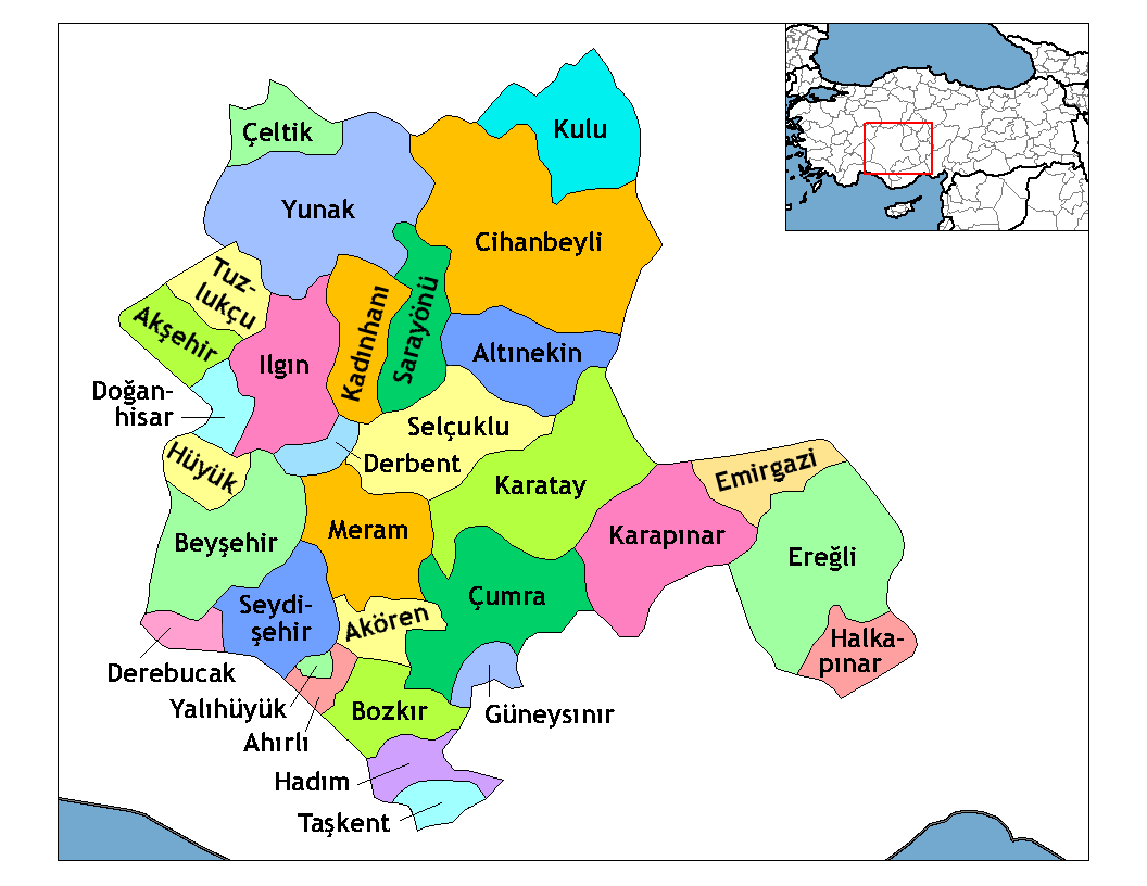
Çumra — District — Location of Çumra within Turkey.
Coordinates: 37°34′N 32°46′E / 37.567°N 32.767°E Country  Turkey
Province Konya Government – Mayor Yusuf Erdem (MHP) Elevation 1,020 m (3,346 ft) Population (2000)[1] – District 104,576 – Urban 42,308 Time zone EET (UTC+2) – Summer (DST) EEST (UTC+3) Postal code 42xxx Area code(s) 0332 Licence plate 42 Website www.cumra.gov.tr Çumra is a town and district of Konya Province in the Central Anatolia region of Turkey. According to 2000 census, population of the district is 104,576 of which 42,308 live in the town of Çumra.[1][2]
Contents
Çumra town
The town of Çumra is at 37°34′30″N 32°46′29″E / 37.575°N 32.77472°ECoordinates: 37°34′30″N 32°46′29″E / 37.575°N 32.77472°E at an altitude of 1,020 m. It is an important stop on the Istanbul to Baghdad railway. It is central to the 500 km²/120,000 acre Çumra irrigation zone, in the Konya plain, that was established in 1912.[3]
History
Neolithic (c. 8000 BC) archaeological discoveries have been found at Çatalhöyük.[4]
In the 12th century the Konya plain experienced its second great cultural period, when the city became the capital of the Seljuk Turks.[4]
Notes
- ^ a b Turkish Statistical Institute. "Census 2000, Key statistics for urban areas of Turkey" (in Turkish) (XLS). http://www.die.gov.tr/nufus_sayimi/2000tablo5.xls. Retrieved 2008-03-23.
- ^ GeoHive. "Statistical information on Turkey's administrative units". http://www.xist.org/cntry/turkey.aspx?levels=Ic%20Anadolu. Retrieved 2008-03-23.
- ^ PlanetWare.com - Çumra, Turkey
- ^ a b Eskinazi.com - Central Anatolia
References
- Falling Rain Genomics, Inc. "Geographical information on Çumra, Turkey". http://www.fallingrain.com/world/TU/71/Cumra.html. Retrieved 2008-03-23.
External links
- District governor's official website (Turkish)
- District municipality's official website (Turkish)
 Çumra in Konya Province (in the Central Anatolia region) of Turkey
Urban districts 

Rural districts Ahırlı - Akören - Akşehir - Altınekin - Beyşehir - Bozkır - Çeltik - Cihanbeyli - Çumra - Derbent - Derebucak - Doğanhisar - Emirgazi - Ereğli - Güneysınır - Hadim - Halkapınar - Hüyük - Ilgın - Kadınhanı - Karapınar - Kulu - Sarayönü - Seydişehir - Taşkent - Tuzlukçu - Yalıhüyük - Yeniceoba - YunakRegionsAegean Black Sea Central Anatolia Eastern Anatolia Marmara Mediterranean Southeastern Anatolia Categories:- Districts of Konya
- Central Anatolia Region
- Populated places in Konya Province
- Central Anatolia Region geography stubs
Wikimedia Foundation. 2010.