- Muş
-
Muş 
 Muş
MuşCoordinates: 38°44′00″N 41°29′28″E / 38.7333333°N 41.49111°ECoordinates: 38°44′00″N 41°29′28″E / 38.7333333°N 41.49111°E Country Turkey Province Muş Government - Mayor Necmettin Dede (AKP) - Kaymakam Area - District 2,604 km2 (1,005.4 sq mi) Population (2008)[1][2] - Urban 69,507 - District 168,817 - District Density 64.8/km2 (167.9/sq mi) Website www.mus.bel.tr Muş (pronounced [muʃ]; Armenian: Մուշ, Kurdish: Mûs) is the provincial capital of Muş Province in Turkey. Population of the municipality of Muş: 72,774 (2009 estimates)[3] The mayor is Necmettin Dede (AKP).
The town was found in Araratian Kingdom (aka Urartu).[citation needed] During the middle ages it was the chief town of Armenia's Taron province. Today the city is populated by Turkish, Kurdish. There are a few ancient remnants including a few citadels and the Aslanhane Caravanserai.[citation needed]
It is considered one of the early centers of the Armenian civilization and housed ancient Armenian churches until the 1960s.[citation needed]
There are mosques from the Seljuk period, like the Alaeddin Pasa, Haci Seref, and Ulu Mosques.[citation needed]
Muş has been ruled by Median, Persian, Armenian, Byzantine, Arabian, Seljuk and Ottoman empires.[citation needed]
Climate
Muş has a continental climate (Köppen climate classification Dsa) with freezing, snowy winters and hot and very dry summers.
Climate data for Muş Month Jan Feb Mar Apr May Jun Jul Aug Sep Oct Nov Dec Year Record high °C (°F) 10.2
(50.4)15.0
(59.0)22.8
(73.0)30.0
(86.0)31.2
(88.2)37.4
(99.3)41.6
(106.9)41.2
(106.2)37.0
(98.6)30.6
(87.1)21.6
(70.9)16.0
(60.8)41.6
(106.9)Average high °C (°F) −3.4
(25.9)−1.4
(29.5)5.8
(42.4)14.7
(58.5)21.3
(70.3)27.6
(81.7)33.2
(91.8)33.3
(91.9)28.5
(83.3)20.0
(68.0)9.8
(49.6)1.0
(33.8)15.87
(60.56)Average low °C (°F) −11.6
(11.1)−10.1
(13.8)−3.4
(25.9)4.0
(39.2)8.5
(47.3)12.4
(54.3)16.6
(61.9)16.5
(61.7)11.8
(53.2)6.5
(43.7)0.1
(32.2)−6.4
(20.5)3.74
(38.74)Record low °C (°F) −32.6
(−26.7)−34.4
(−29.9)−31.4
(−24.5)−10.2
(13.6)−2.4
(27.7)5.4
(41.7)3.6
(38.5)8.0
(46.4)2.0
(35.6)−2.1
(28.2)−25.8
(−14.4)−32
(−25.6)−34.4
(−29.9)Precipitation mm (inches) 79.5
(3.13)101.1
(3.98)101.2
(3.984)107.3
(4.224)68.4
(2.693)28.7
(1.13)7.0
(0.276)6.4
(0.252)13.7
(0.539)62.2
(2.449)95.8
(3.772)85.6
(3.37)756.9
(29.799)Avg. rainy days 13.0 12.5 14.0 14.7 14.0 6.9 2.3 2.2 3.2 9.1 10.4 12.5 114.8 Sunshine hours 65.1 86.8 148.8 198 285.2 354 387.5 372 315 226.3 129 65.1 2,632.8 Source: Devlet Meteoroloji İşleri Genel Müdürlüğü [4] External links
- History and description of the ruined Armenian monastery of Arakelots, 8 km east of the town of Muş.
- All about for Muş (Mus, Moush, Mosh, Mush)
 "Mush". Catholic Encyclopedia. New York: Robert Appleton Company. 1913.
- Chisholm, Hugh, ed (1911). "Mush". Encyclopædia Britannica (11th ed.). Cambridge University Press.
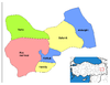
 Muş in Muş Province (in the Eastern Anatolia region) of Turkey
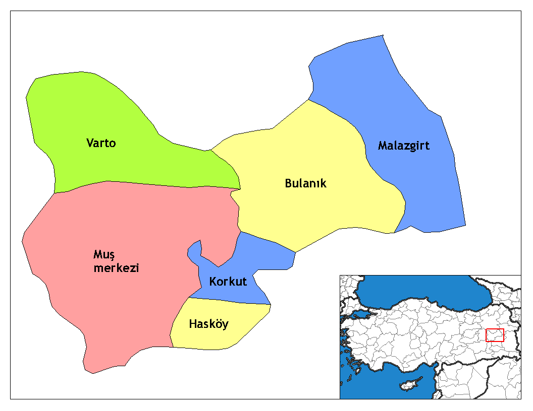
Urban districts Muş
Rural districts RegionsAegean Black Sea Central Anatolia Eastern Anatolia Marmara Mediterranean Southeastern Anatolia Notes
- ^ Türkisches Institut für Statistik, abgerufen 23. November 2009
- ^ Türkisches Institut für Statistik, abgerufen 23. November 2009
- ^ Adrese Dayalı Nüfus Kayıt Sistemi (ADNKS) Sonuçları
- ^ İl ve İlçelerimize Ait İstatistiki Veriler- Meteoroloji Genel Müdürlüğü. Dmi.gov.tr. Retrieved on 2011-04-16.
Categories:- Muş Province
- Cities in Turkey
- Eastern Anatolia Region
- Armenian Genocide extermination centers
- Muş
- Eastern Anatolia Region geography stubs

Wikimedia Foundation. 2010.