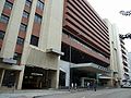
- Oi Kwan Road
-
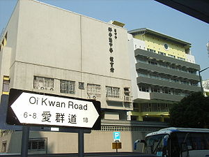 Oi Kwan Road facade of Sheng Kung Hui Tang Shiu Kin Secondary School.
Oi Kwan Road (traditional Chinese: 愛群道; simplified Chinese: 爱群道; pinyin: Àiqún Dào; Cantonese Yale: ngoi3 kwan4 dou6) is a circular road that encircles the original site of Morrison Hill in Wan Chai near Happy Valley, Hong Kong Island, Hong Kong.
Although the street is not long compared to main streets in Hong Kong, it has a large number of public facilities in its surrounding.
Contents
Features
Amenity facilities include:
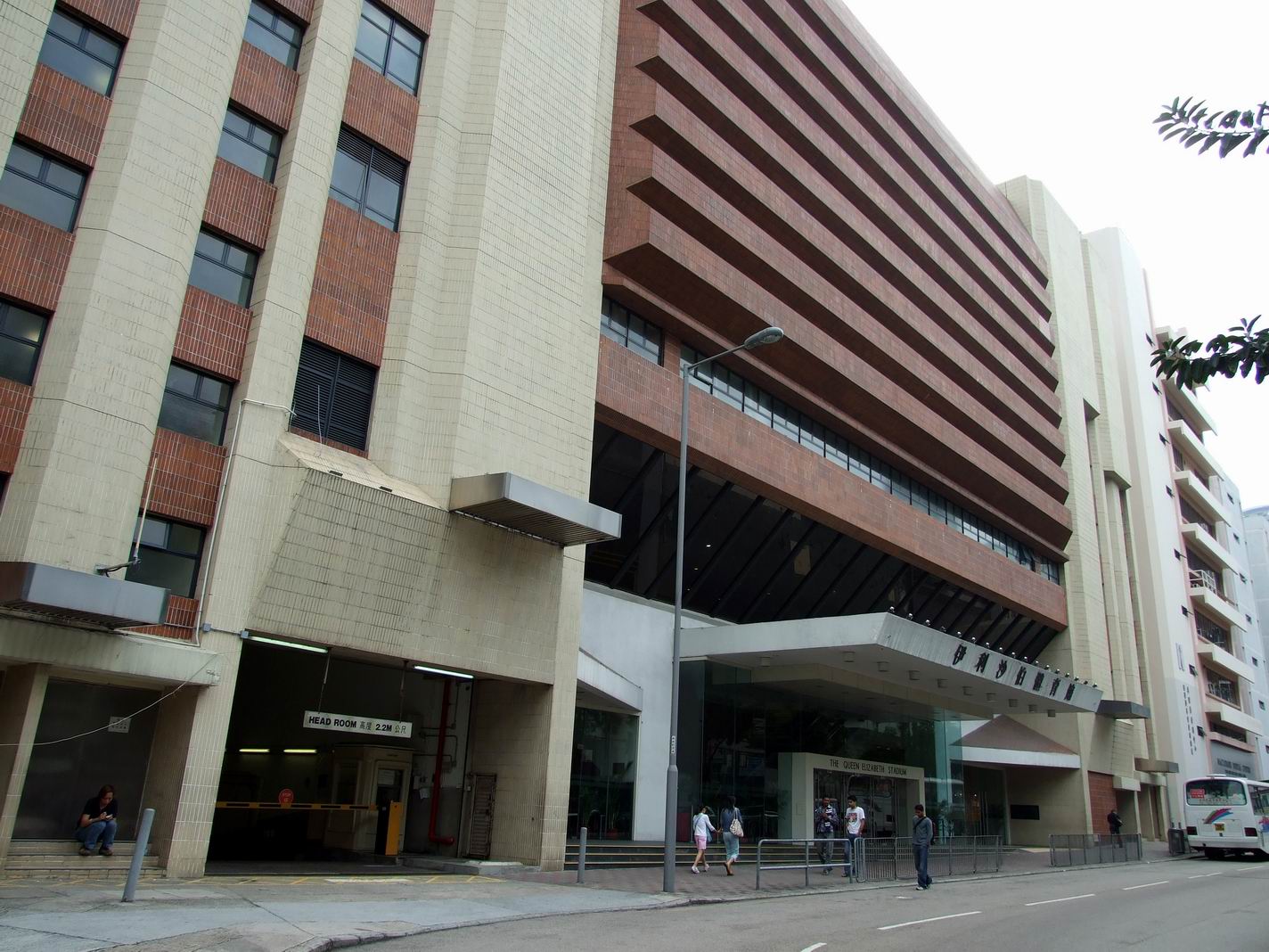
- Queen Elizabeth Stadium and
- Morrison Hill Swimming Pool,
Medical facilities include:
- Tang Shiu Kin Hospital,
- Tang Chi Ngong Specialist Clinic and
- MacLehose Dental Centre.
Educational facilities include:
- Hong Kong Institute of Vocational Education (Morrison Hill) (with the headquarters of Vocation Training Council by its side),
- Lady Trench Training Centre,
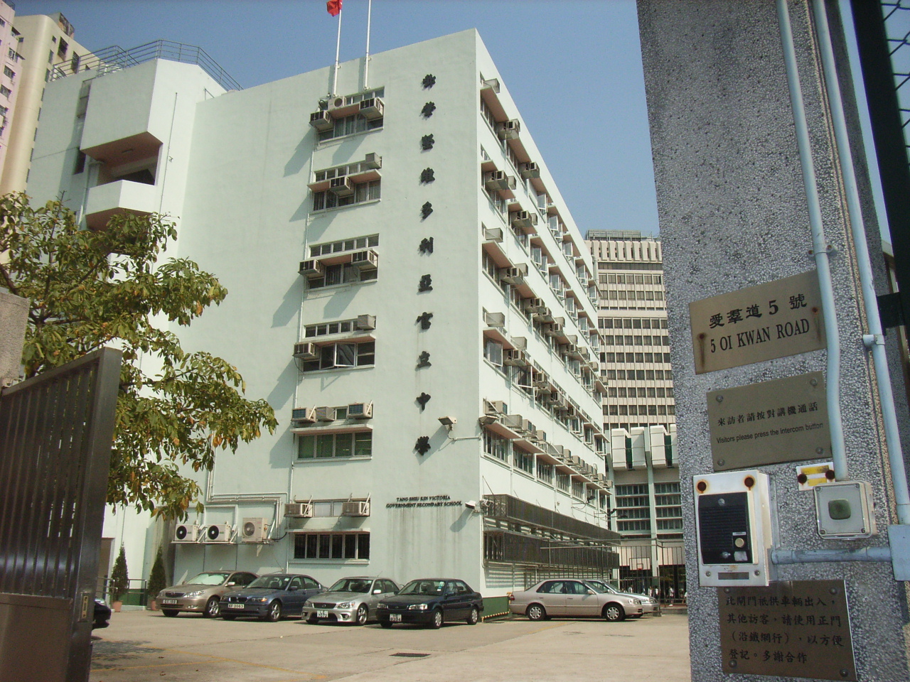
- Tang Shiu Kin Victoria Government Secondary School,
- Sheng Kung Hui Tang Shiu Kin Secondary School and
- Wanchai School.
Other major facilities include:
- The Scout Association of Hong Kong Regional Headquarters,
- Tang Shiu Kin Social Service Centre and
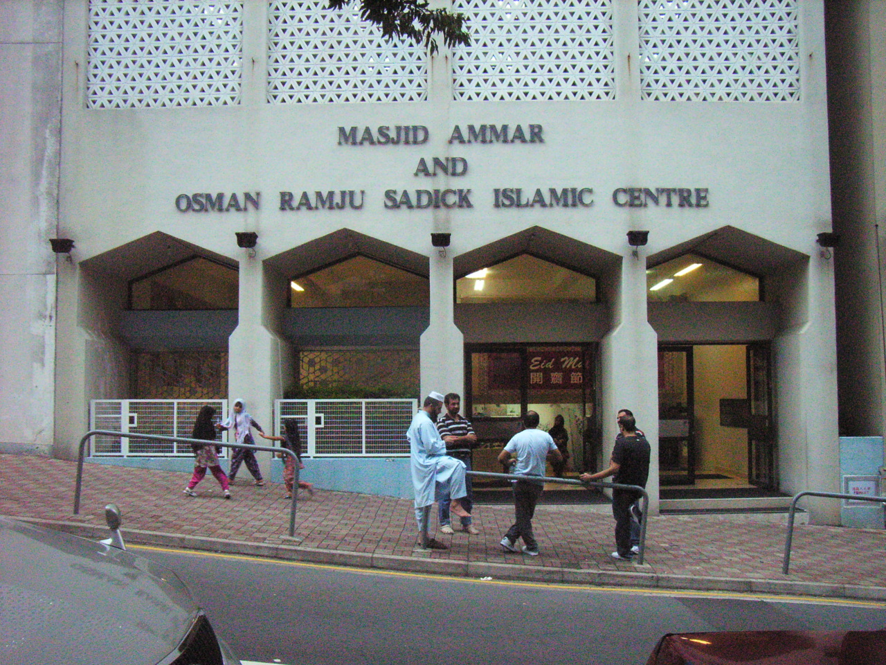
- Masjid Ammar and Osman Ramju Sadick Islam Centre.
Gallery
-
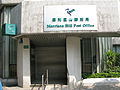
Morrison Hill Post Office, at the corner of Oi Kwan Road and Sung Tak Street
-
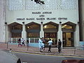
Masjid Ammar and Osman Ramju Sadick Islam Centre
-
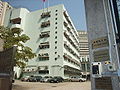
TSK Victoria Government Secondary School
-

Oi Kwan Road west, near the entrance of Morrison Hill Swimming Pool
-
Queen Elizabeth Stadium entrance on Oi Kwan Road
See also
External links
Streets and roads on Hong Kong Island Central and Western District Aberdeen Street • Albany Road • Albert Path • Arbuthnot Road • Babington Road • Barker Road • Bank Street • Battery Path • Belcher's Street • Bluff Path • Bonham Road • Bonham Strand • Bonham Strand West • Borrett Road • Bowen Drive • Breezy Path • Brewin Path • Bridges Street • Burd Street • Burrows Street • Cadogan Street • Caine Road • Centre Street • Chater Road • Cochrane Street • Conduit Road • Connaught Road Central • Connaught Road West • Connaught Place • Davis Street • Des Voeux Road Central • Des Voeux Road West • Duddell Street • Elgin Street • Eastern Street • Gage Street • Garden Road • Gilman Street • Gilman's Bazaar • Glenealy • Gutzlaff Street • Harcourt Road • Hing Hon Road • Hollywood Road • Ice House Street • Jubilee Street • Kennedy Town Praya • Ladder Street • Lambeth Walk • Lan Kwai Fong • Lugard Road • Macdonnell Road • Magazine Gap Road • Man Cheung Street • Man Kwong Street • Man Yiu Street • Mount Austin Road • Mount Kellett Road • Murray Road • Old Bailey Street • Old Peak Road • Pottinger Street • Peel Street • Queen Victoria Street • Queen's Road Central • Queen's Road West • Queensway • Robinson Road • Smithfield • Staveley Street • Tai Ping Shan Street • Tim Wa Avenue • Tim Mei Avenue • Upper Albert Road • Upper Lascar Row • Water Street • Wellington Street • Western Street • Wing Kut Street • Wing On Street • Wing Sing Street • Wyndham StreetWan Chai District Amoy Street • Anton Street • Arsenal Street • Blue Pool Road • Boat Street • Boyce Road • Briar Avenue • Broadwood Road • Broom Road • Brown Street • Bullock Lane • Canal Road East • Canal Road West • Cleveland Street • Gloucester Road • Gresson Street • Hennessy Road • Jaffe Road • Jardine's Bazaar • Johnston Road • Lee Tung Street • Li Chit Street • Lockhart Road • Lun Fat Street • Oi Kwan Road • Paterson Street • Queen's Road East • St. Francis Street • Stone Nullah Lane • Stubbs Road•Swatow Street • Tai Wong Street West • Tai Wong Street East • Tai Yuen Street • Thomson Road • Wood Road • Yee Wo StreetEastern District A Kung Ngam Road • Aldrich Bay Road • Aldrich Street • Basel Road • Braemar Hill Road • Chai Wan Road • Harbour Parade • Hong Shing Street • King's Road • Shau Kei Wan Road • Siu Sai Wan Road • Tai Koo Shing Road • Tai Koo Wan Road • Tai Mou Avenue • Tsat Tsz Mui Road • Wharf RoadSouthern District Aberdeen Main Road • Aberdeen Praya Road • Aberdeen Reservoir Road • Ap Lei Chau Bridge Road • Ap Lei Chau Drive • Ap Lei Chau Praya Drive • Beach Street • Bel-air Avenue • Bel-air Rise • Belleview Drive • Big Wave Bay Road • Bisney Road • Black's Link • Sassoon RoadSpans more than one district See also: Streets and roads in Kowloon • The New Territories Coordinates: 22°16′34″N 114°10′41″E / 22.27606°N 114.17818°E
Categories:- Morrison Hill
- Roads in Hong Kong
- Orbital roads in Hong Kong
- Hong Kong road stubs


Wikimedia Foundation. 2010.