- City West Link Road
-
Coordinates: 33°52′23″S 151°09′11″E / 33.873056°S 151.153056°E
City West Link Road is a link road in Sydney, Australia. It makes up a section of Metroad 4 between Leichhardt, Haberfield and Five Dock. As such, it provides an alternative route to Parramatta Road into Sydney's CBD from the Inner-West.
Motorists began complaining early in 2004 that the road had already become congested, less than 4 years after opening. The road ultimately feeds into Parramatta Road, thus congestion points on Parramatta Road have simply been moved to different areas rather than relieved altogether.
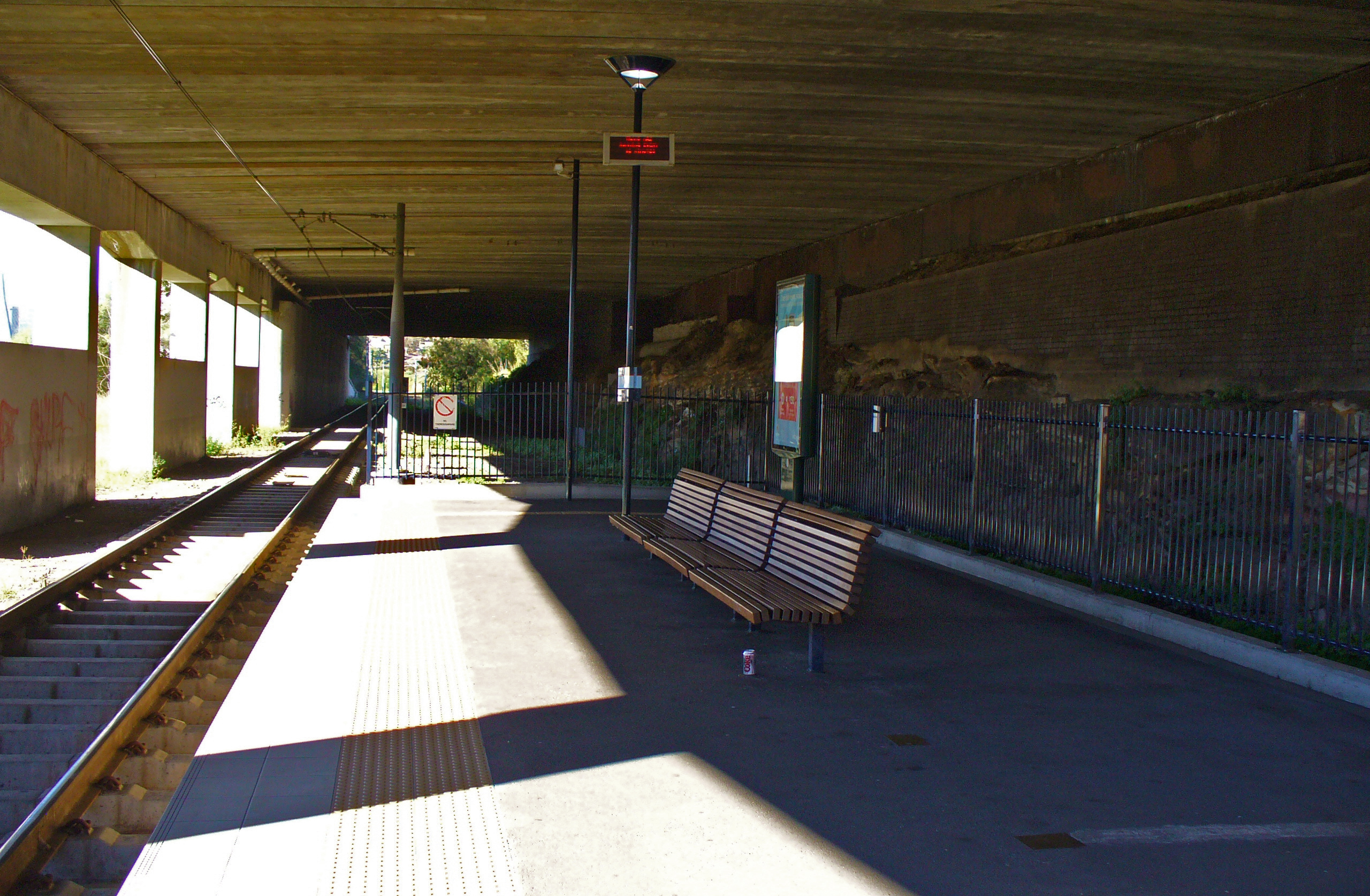
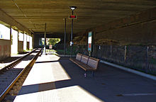 The City West Link passes over the Lillyfield light rail station at the intersection with Catherine St.
The City West Link, much to the disappointment of some local residents, simply involved the upgrade of existing roads and streets to at least four lanes. The process was carried out in four stages:
- Stage One: (December 1991) An underpass beneath Victoria Road was constructed.
- Stage Two: (February 1993) Upgrades from The Crescent at Rozelle to Catherine Street at Lilyfield, using Brenan Street. This section used a temporary one-way system to deliver traffic to Lilyfield Road.
- Stage Three: (May 1995) Dobroyd Parade and Wattle Street reconstruction was completed, providing four lanes between Parramatta Road and Hawthorne Canal, parallel to Iron Cove and Iron Cove Creek.
- Stage Four: (December 2000) Extended the road from Catherine Street to Dobroyd Parade. A new bridge was constructed over Hawthorne Canal. The City West Link then became part of Metroad 4, relieving a congested section of Parramatta Road.
In 2005, a major bottleneck at the eastern end was removed. Previously eastbound traffic on the link had to merge from two lanes into one, just before joining Victoria Road west of the Anzac Bridge. There are now two lanes from the west link merging with the three from Victoria Road, to make four lanes over the Anzac Bridge.
The project is in some ways very similar to the South Eastern Arterial link in Melbourne, Victoria. That road was built between two freeways and ultimately had to be rebuilt without traffic signalled at-grade intersections. The only difference between the two is the available space for the Melbourne road allowed the conversion without any land resumption, whereas the City West Link Road is surrounded by properties which are in places only a few feet from the road edge. Like so many other new road projects in Sydney, the available land space and cash resources available lead to either too few traffic lanes or at-grade intersections.
The New South Wales Roads and Traffic Authority had plans to connect the City West Link to the M4 motorway, completely bypassing Parramatta Road. Included in the project was the removal of the at-grade intersections on the City West Link for through traffic. The plan was complicated, and involved building bridges for the City West Link Road to pass over at-grade intersections, some of which made provision for only one traffic lane in each direction. Residents and advocacy groups voiced fears that this will worsen current congestion problems[1]. The whole project was cancelled in late 2004.
External links
Road infrastructure in Sydney Motorways / Tollways Freeways / Expressways Cahill Expressway • Gore Hill Freeway • Southern Cross Drive • Southern Freeway • M5 East • Sydney–Newcastle Freeway • Warringah Freeway • Western Distributor • General Holmes DriveMetroads Bridges and Tunnels Vehicle Ferries Conceptual Plans Other M4 East (proposed) • Marrickville Tunnel (proposed) • North Western Expressway (abandoned) • F3 to Sydney Orbital (proposed) • F6 to Marrickville Tunnel (proposed)Categories Streets in Sydney • Highways in SydneyOperators Categories:- Highways in Sydney
Wikimedia Foundation. 2010.