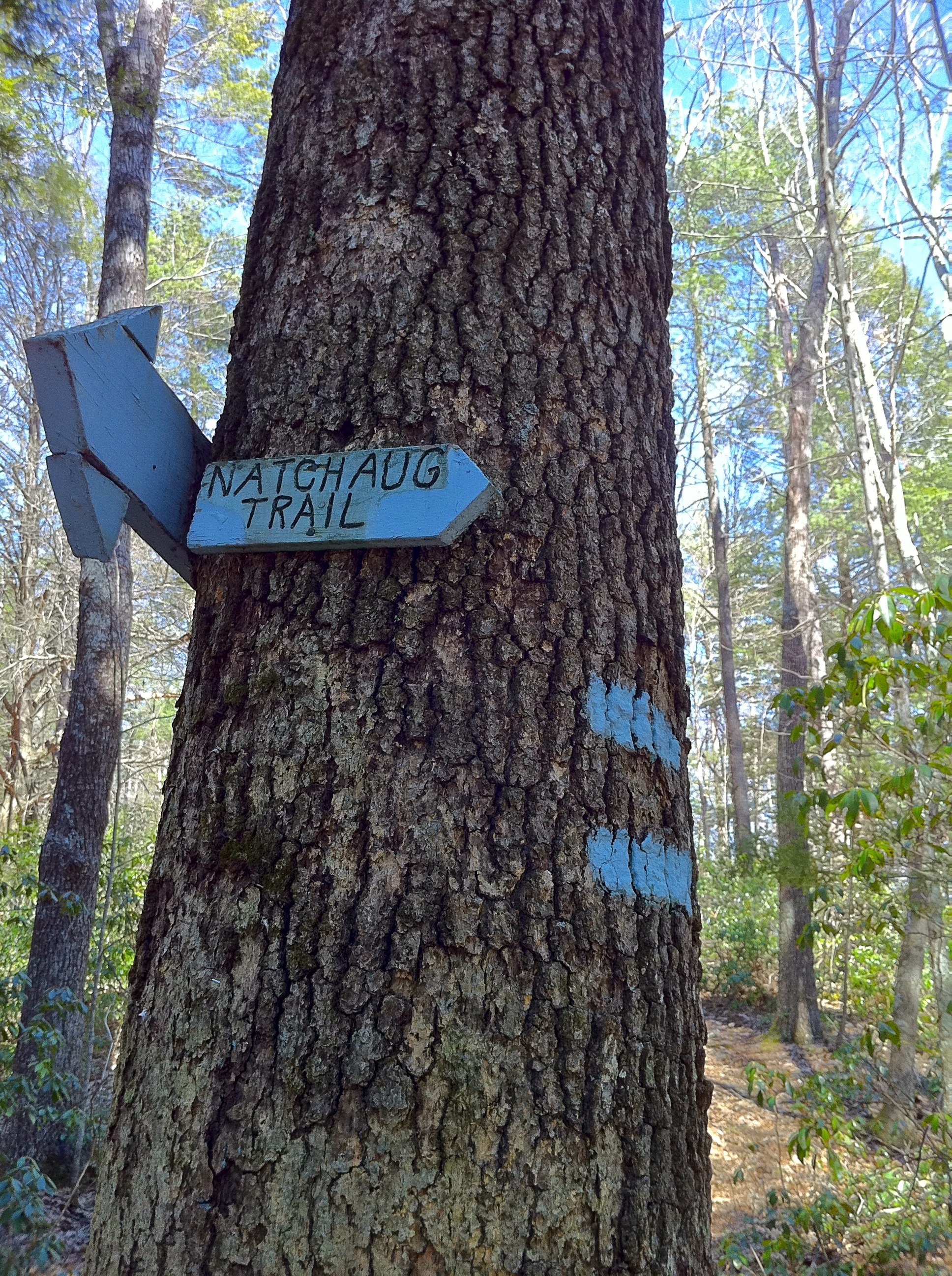
- Natchaug Trail
-
Natchaug Trail 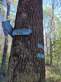
Natchaug Trail northern trailhead at intersection with Nipmuck Trail in Eastford, CT Length 19.5 miles (31.4 km) [1] Location Windham County, Connecticut, USA Designation CFPA Blue-Blazed Trail Use hiking, cross-country skiing, snowshoeing, fishing, geocaching, other Hazards hunters, deer ticks, poison ivy The Natchaug Trail is a Blue-Blazed hiking trail "system" which meanders through 19.5 miles (31.4 km) of forests in northeast Connecticut—primarily in Windham County. It is maintained by the Connecticut Forest and Park Association. Its southern trailhead begins in the James L. Goodwin State Forest in the towns of Chaplin, Connecticut and Hampton, Connecticut and the northern terminus is at its intersection with the Nipmuck Trail in Natchaug State Forest in Eastford, Connecticut.
For much of its length the Natchaug Trail travels through two Connecticut state forests—the James L. Goodwin State Forest and Natchaug State Forest as well as the much smaller Nathaniel Lyons Memorial Park. Camping permits may be obtained by backpackers for both state forests.
In addition to the Nipmuck Trail there are several smaller hiking trails which connect to the Natchaug Trail as well as several park and forest roads and the multi-use Airline State Park Linear Trail.
In Natchaug State Forest the CCC Trail is a historic loop trail which was built by the Civilian Conservation Corps during the Great Depression in the 1930s.
Two of the several trails inside the James L. Goodwin State Forest are connected to the Natchaug Trail have recently been blazed as official CFPA trails. According to signs at the James L. Goodwin State Forest the White Trail is being (or has been) re-blazed as a blue-white trail named the "Pine Acres Lake View Trail". A CFPA blue-orange blazed trail also intersects with the Natchaug Trail during the stretch between Pine Acres Lake and Black Spruce Pond.
Contents
Description
The Natchaug Trail is primarily used for hiking, backpacking, picnicking, and in the winter, snowshoeing.
Portions of the trail are suitable for, and are used for, cross-country skiing and geocaching. Site-specific activities enjoyed along the route include bird watching, hunting (very limited), fishing, horseback riding, bouldering and rock climbing (limited).
Route
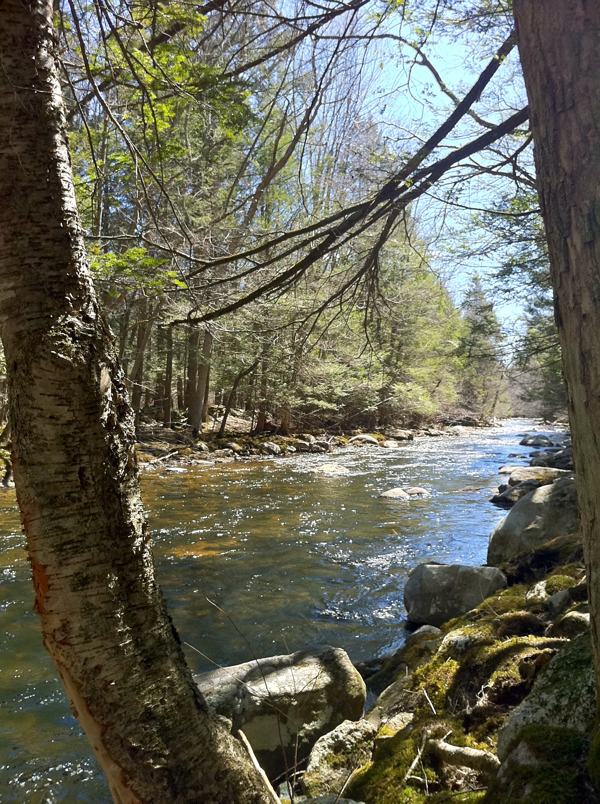
The northern end of the Natchaug Trail connects with the Nipmuck Trail 1200 feet south of Eastford Road in Ashford, Connecticut in northern Natchaug State Forest. After crossing the unpaved Moon Road, the northern third of the trail generally parallels Bigelow Brook until it merges with the Stones and Stills brooks to become the Natchaug River. For most of the southern two thirds of the trail's length it follows both Connecticut Route 198 and the Natchaug River through the Natchaug and James L. Goodwin State Forests to the southern end at at the James L. Goodwin Conservation Center at the southern end of Pine Acres Lake.
Trail communities
The official Blue-Blazed Natchaug Trail passes through land located within the following municipalities, from south to north:
Hampton, Connecticut, Chaplin, Connecticut, Ashford, Connecticut, Eastford, Connecticut
Landscape, geology, and natural environment
History and folklore
The Blue-Blazed Natchaug Trail was created by the Connecticut Forest and Park Association. As it did not appear in the 1969 version of the CFPA Connecticut Walk Book and it appears in the 1973 version it would appear to have been created during the 1969-1973 period.
Origin and name
Natchaug is a Nipmuc Native American word meaning "land between the rivers".[2]
The name Natchaug is used as a geographical place name throughout Eastern Connecticut and particularly in Tolland and Windham counties in Northeastern Connecticut. It was not the name of a native American tribe or group, but of a particular area in Connecticut.
Today the name Natchaug appears as the name of a trail, river, hospital and state forest.
Historic sites
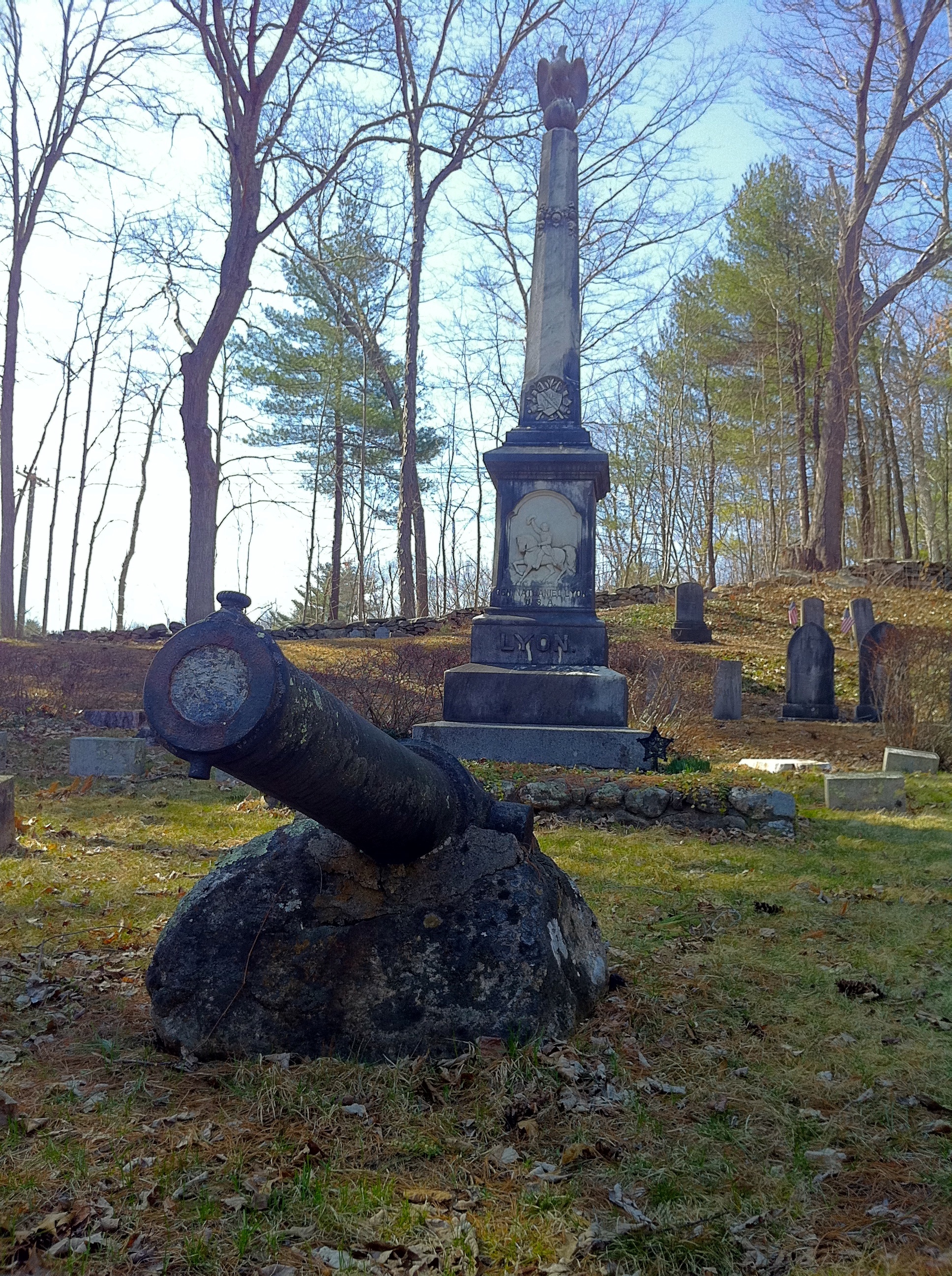
 General Nathaniel Lyon gravesite with monument and cannon in Eastford, CT.
The Natchaug state forest occupies a portion of the former hunting grounds of the Wabbaquasset Indians between the Bigelow and Still Rivers.
The James L. Goodwin State Forest is named for, and occupies land donated by its namesake. James L. Goodwin was one of the first Yale University School of Forestry graduates and began using modern forest management practices in the northeastern part of Connecticut.[3] He also created and donated the James L. Goodwin Conservation Center to the state to educate the people of Connecticut regarding "general, wildlife and forest conservation."
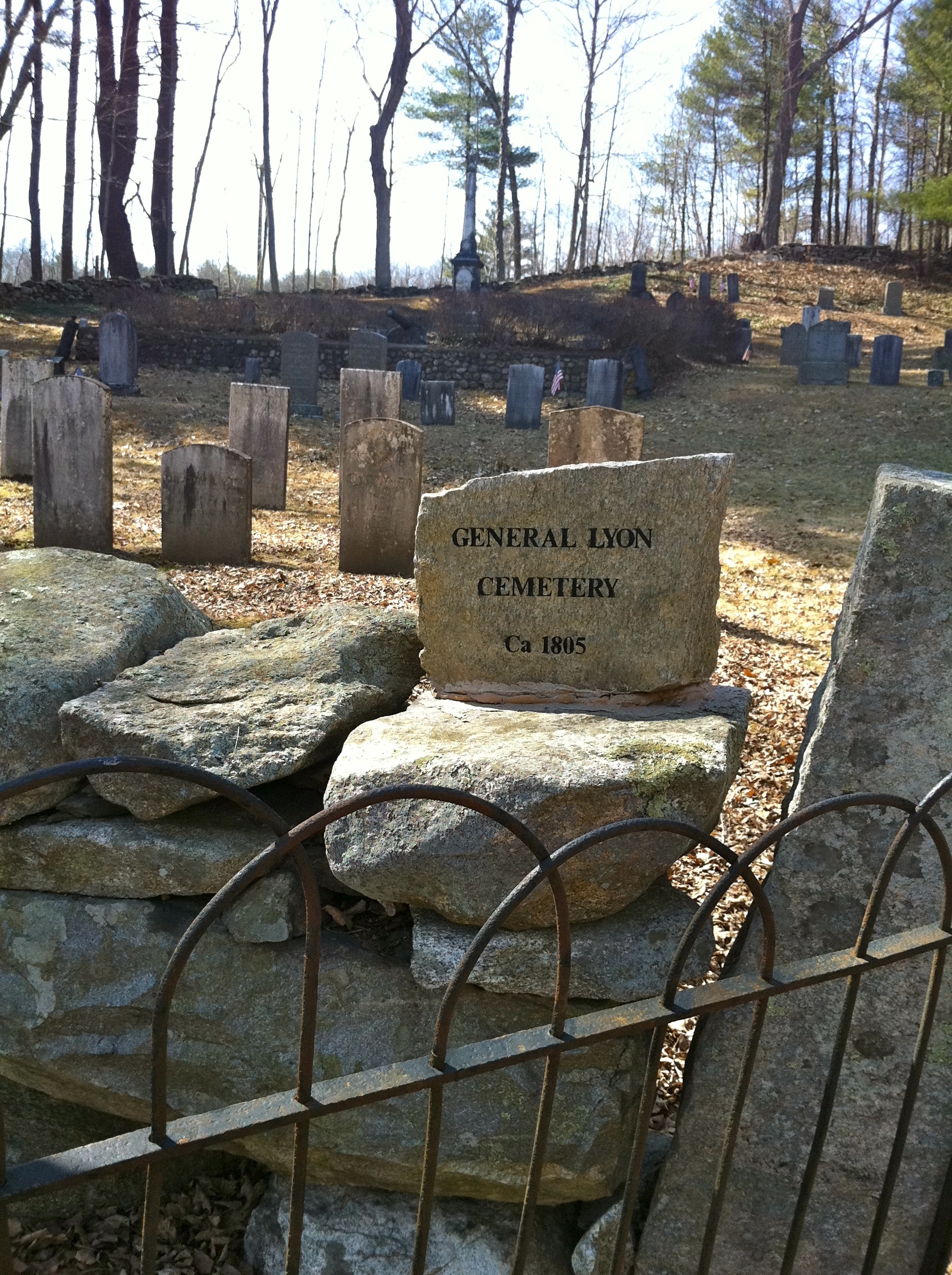
There are two memorials to Nathaniel Lyon, the first Union general to die in the US Civil War along the Natchaug Trail.
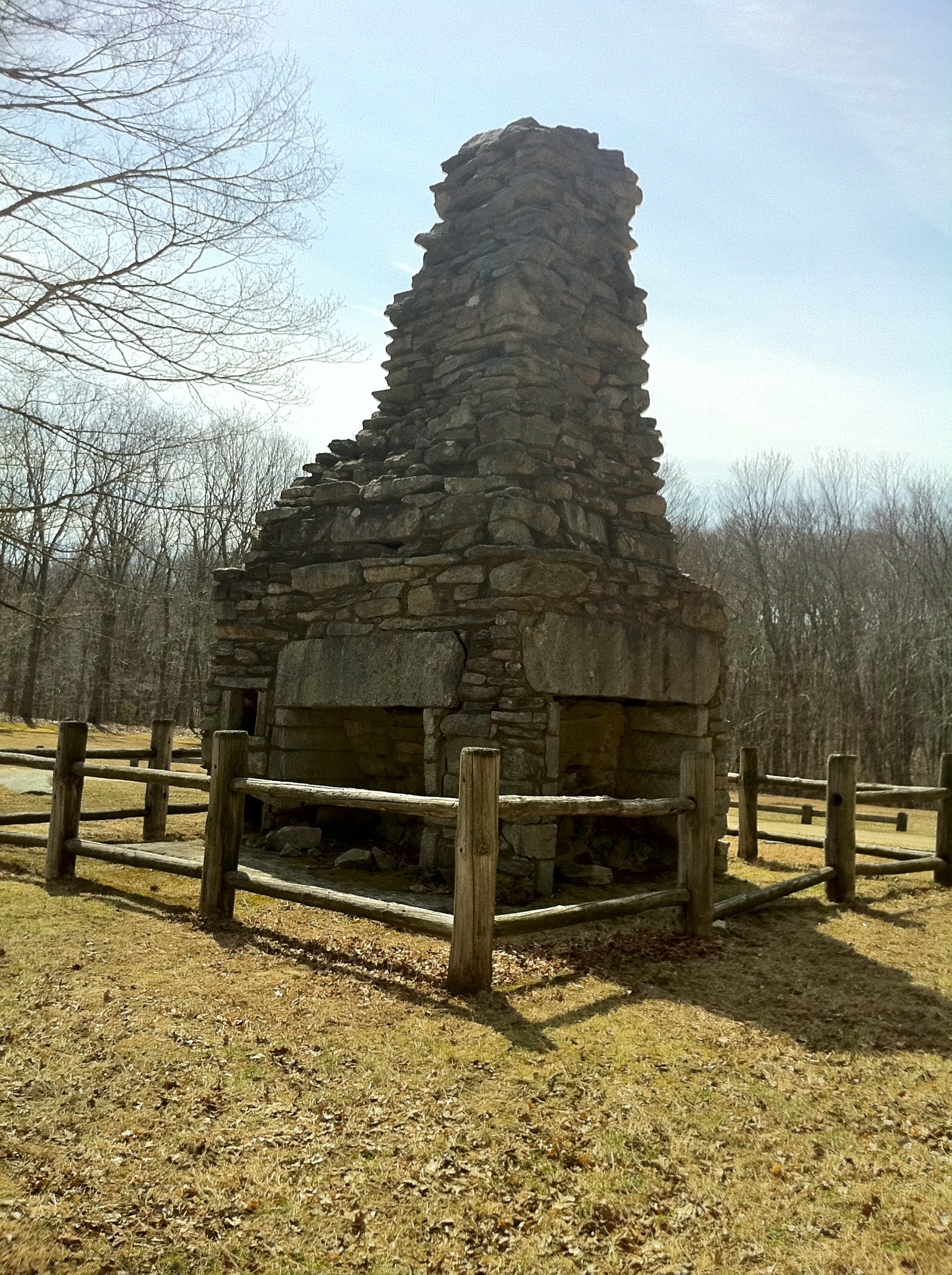
Nathaniel Lyon Memorial State Park contains the birthplace of General Lyon, although only the very large fireplace remains.
General Nathaniel Lyon Memorial in General Lyon Cemetery (established 1805) is located in the Phoenixville section of Eastford just north of the northern end of a portion of General Lyon Road overlaps with the Natchaug Trail.
Folklore
There are remains of foundations for stone houses, dams and cisterns along both the Natchaug Trail and CCC side trail.
There are several letterboxes cached along both trails including two official State of Connecticut Department of Environmental Protection (DEP) letterboxes. One is in Natchaug State Forest on the CCC Trail [4] and the other is in the James L. Goodwin State Forest near Pine Acres Lake [5] close by a three-sided cellar hole where the local legend says that the smell of wood smoke can often still be detected on cold January nights from a long gone chimney.[5]
There is a trail register notebook in a can affixed to the northern end of a foot bridge over Stones Brook on the Natchaug Trail approximately 0.6 mile south of Connecticut Route 44.
Hiking
The mainline trail is blazed with blue rectangles. Trail descriptions are available from a number of commercial and non-commercial sources, and a complete guidebook is published by the Connecticut Forest and Park Association
It is regularly maintained, and is considered easy hiking, with very few sections of rugged and moderately difficult hiking.
Much of the trail is close to public roads. There are camping facilities along the trail in the two state forests. Otherwise camping is generally prohibited in the other areas along the trail. There are nearby commercial camping accommodations available on Connecticut Route 198, in particular the Charlie Brown Campground [6] in Eastford and the Nickerson Park Family Campground in Chaplin (visible on the western bank of the Natchaug River from the CCC side trail).
Weather along the route is typical of Connecticut. Conditions on exposed ridge tops and summits may be harsher during cold or stormy weather.[7] Lightning is a hazard on exposed summits and ledges during thunderstorms. Snow is common in the winter and may necessitate the use of snowshoes. Ice can form on exposed ledges and summits, making hiking dangerous without special equipment.
Biting insects can be bothersome during warm weather. Parasitic deer ticks (which are known to carry Lyme disease) are a potential hazard.Almost all of the trail is adjacent to, or is on lands where hunting and the use of firearms are permitted. Wearing bright orange clothing during the hunting season (Fall through December) is recommended.
Conservation and maintenance of the trail corridor
Recognition / Inspiration Programs
This trail system is a part of the 'Connecticut 400', one of the official Blue-Blazed (or similar) trails listed in the Connecticut Walk Book by the Connecticut Forest and Park Association (CFPA) and recognized, since 1976, with an award known as the Connecticut 400 Club by the Connecticut Chapter of the Appalachian Mountain Club (AMC). In 1976 there were only four hundred miles of Blue-Blazed trail but today (2010) the total length of the trails listed in the CFPA Connecticut Walk Books (East and West) exceeds 825 miles.[8][9][10]
The State of Connecticut Department of Environmental Protection (CT DEP) Forestry Division provides two awards for locating and visiting "letterboxes" (similar to geocaches) in Connecticut's State Forests. The commemorative 'State Forest Centennial Patch' is available to those who complete five sponsored "letterbox" hikes (in each separate state forest you must hike the described route, find the "letterbox/cache" and record your visit in the "letterbox" book). The State Forest Centennial campaign dates to 2003 (the centennial of the first official state forest in Connecticut). A walking stick is available for those who complete the letterbox hike of all thirty-two (32) of the state forests. Many of the "Blue-Blazed" hiking trails in Connecticut travel through or near one or more of the State Forests, often very close to the sponsored (DEP) letterbox.[11]
Image gallery
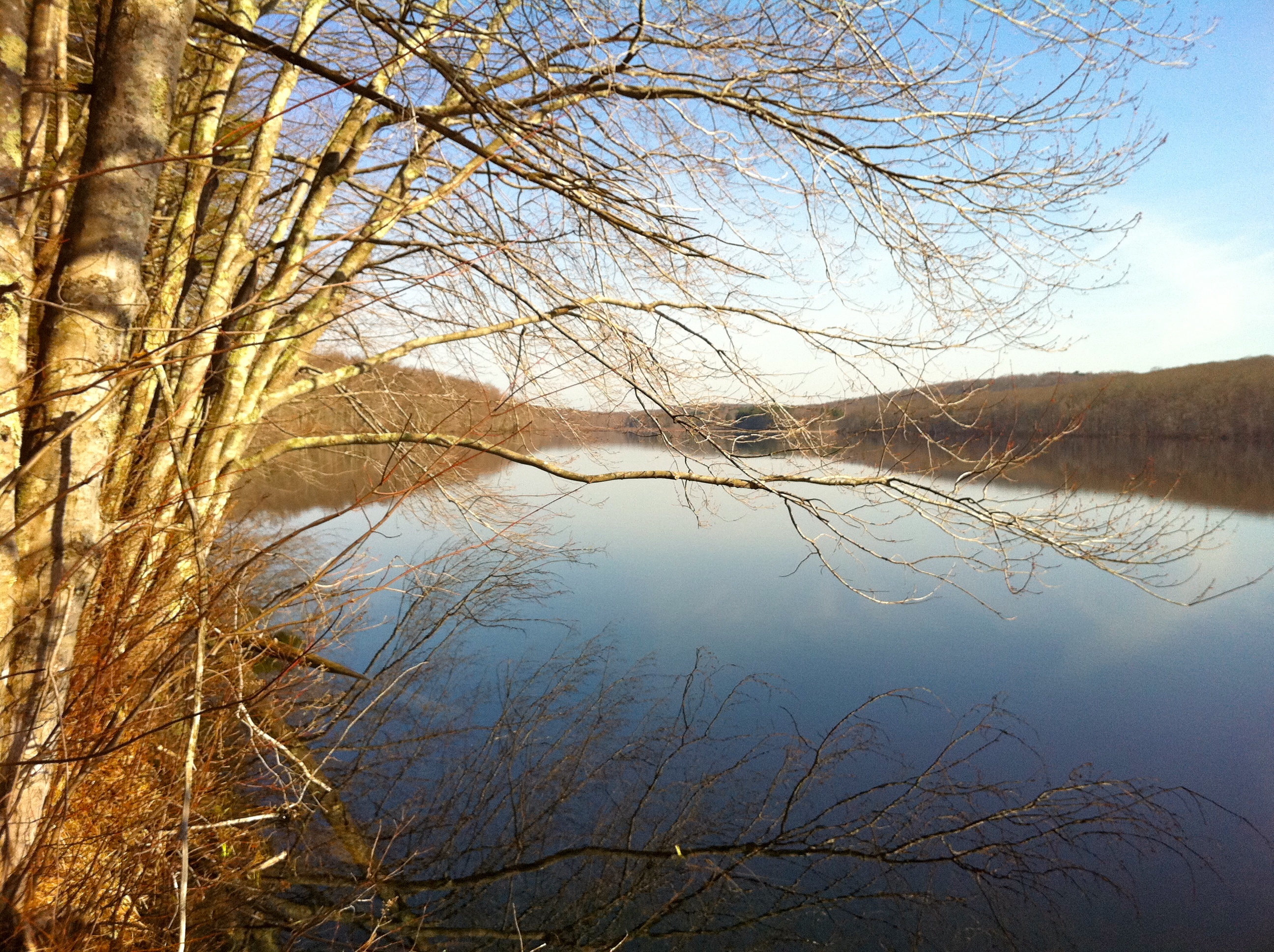
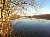 View of Pine Acres Lake looking north from close to the southern start of the Natchaug Trail
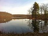 View from the southern end of Black Spruce Pond off the Natchaug Trail.
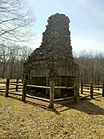 Great 4-fireplace chimney is all that is left of General Nathaniel Lyon's birthplace homestead at Nathaniel Lyon Memorial State Park.
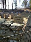 General Lyon Cemetery in Easton, Connecticut. Established circa 1805. Contains the grave and monument for General Nathaniel Lyon (first Union general to die in the US Civil War.) as well as many mid to late 19th century and Civil War casualty gravestones.
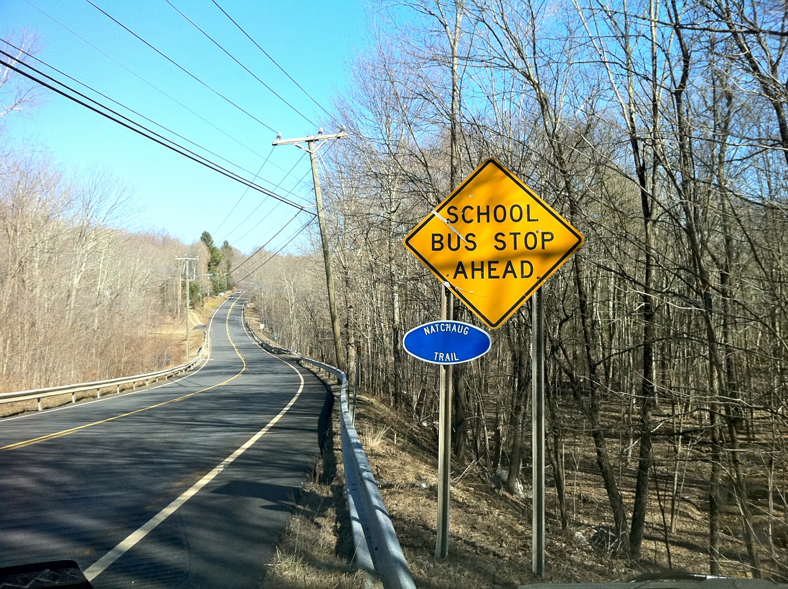
 Natchaug Trail sign on Connecticut Route 44. Entrance south to middle sections.
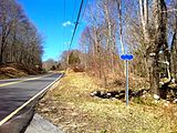 Natchaug Trail sign on Connecticut Route 44. Entrance to northern sections.
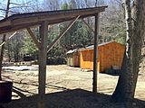 Paul Newman's Own Hole In The Wall Gang Camp campsite off Natchaug Trail
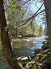 Bigelow Brook in Eastford, CT along Natchaug Trail. Looking South.
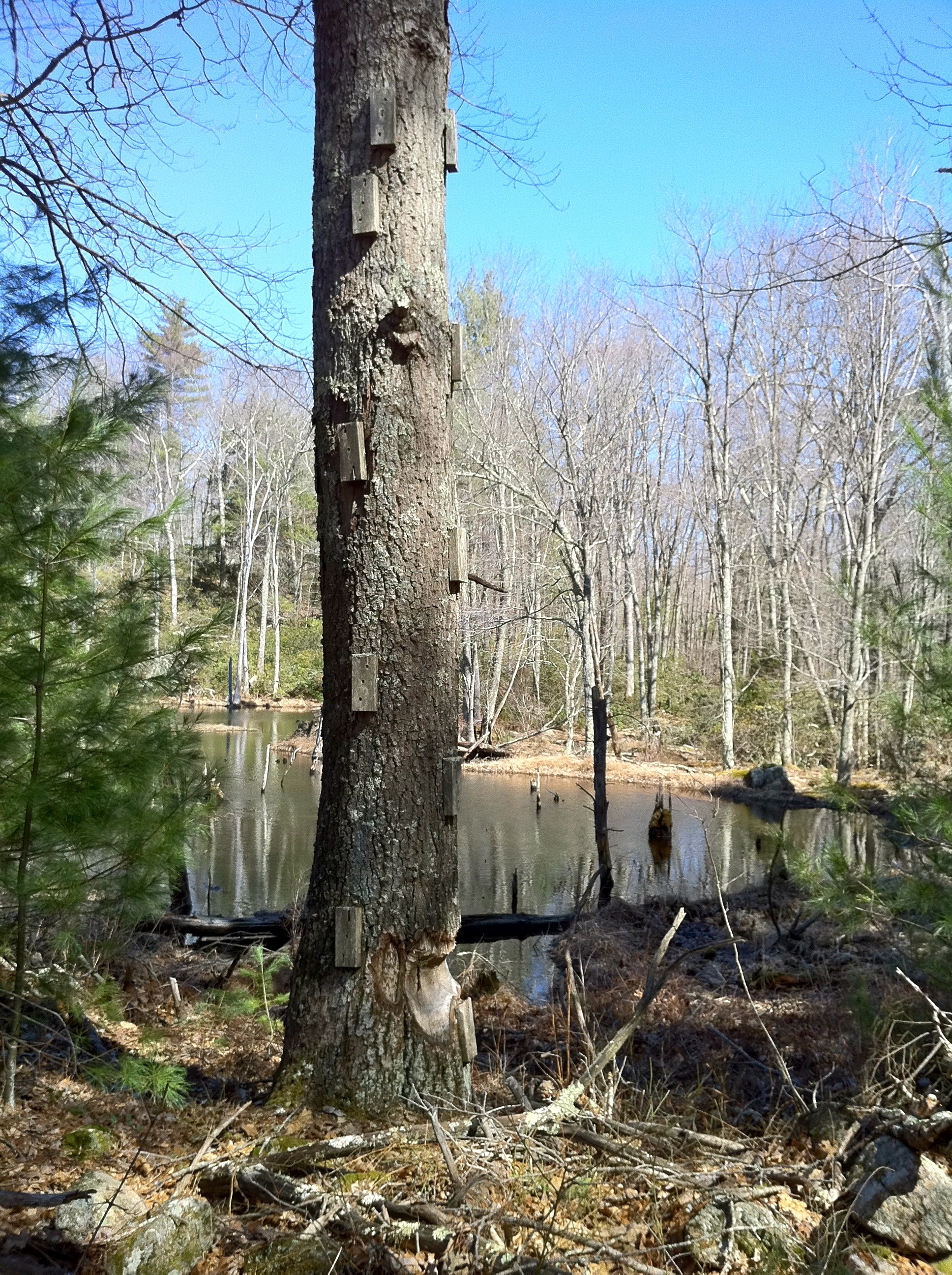
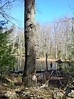 Tree with wood block foot and hand holds at a small pond.
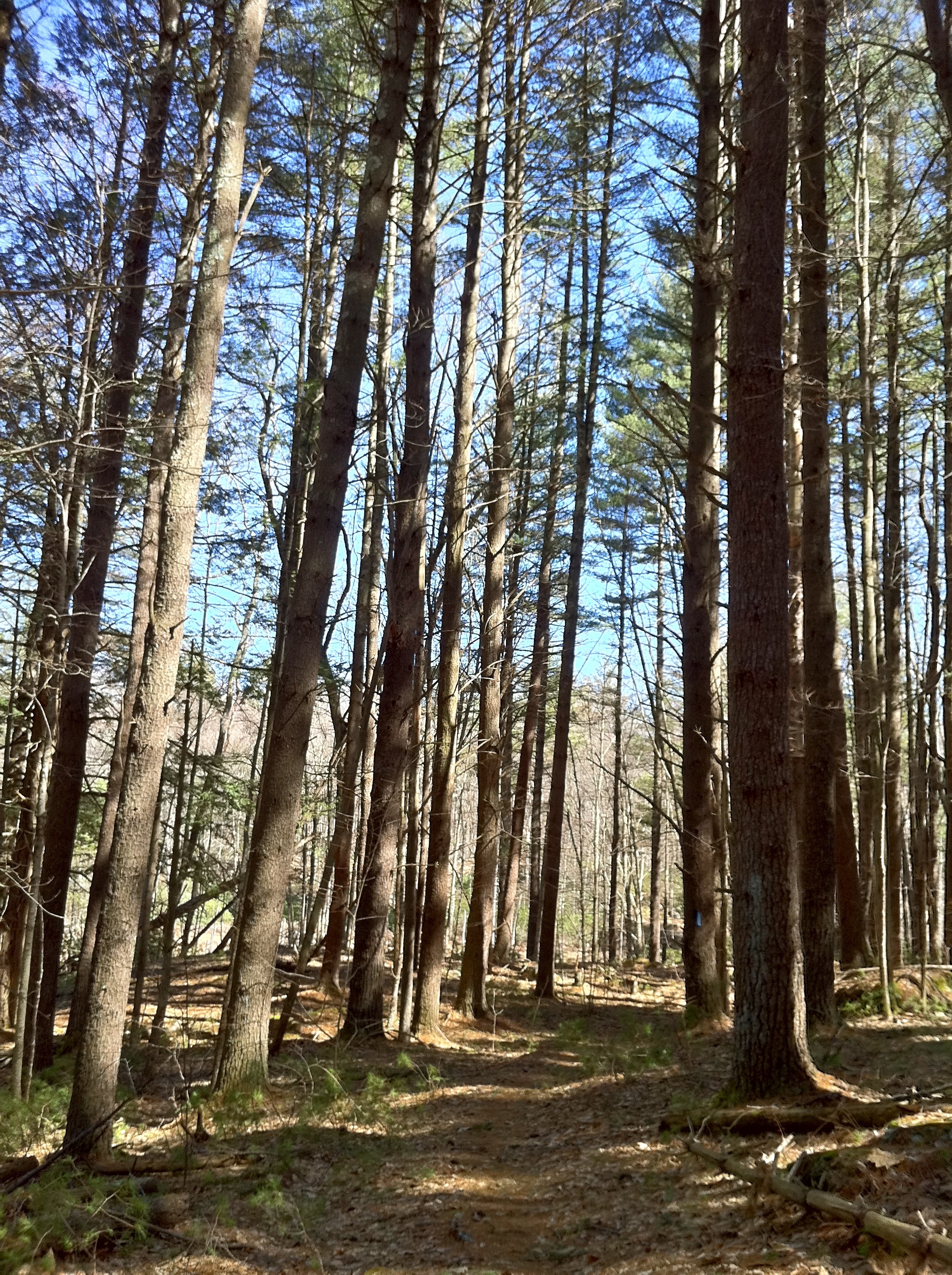
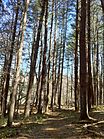 Tall Conifers on both sides of northernmost Natchaug Trail.
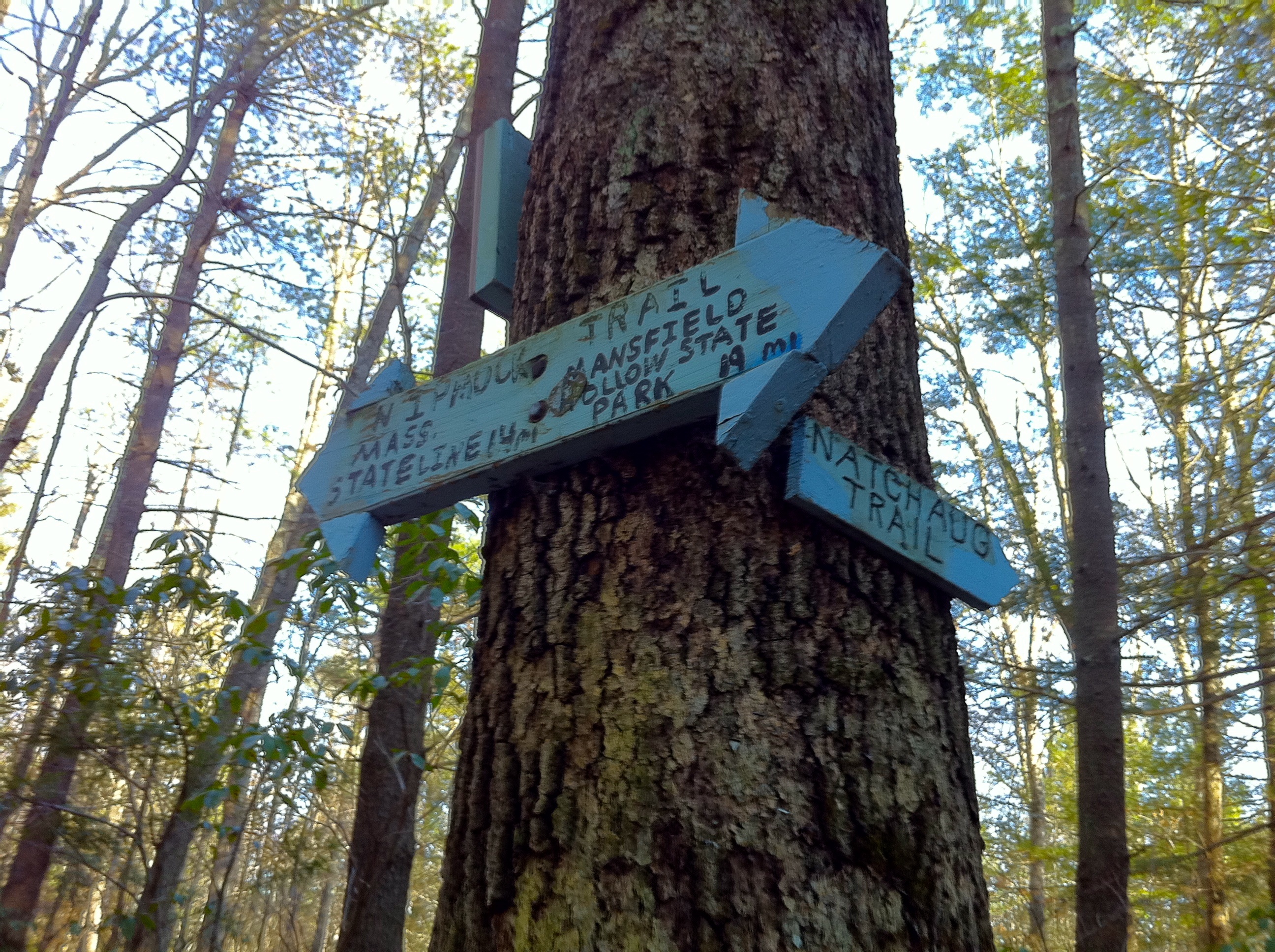
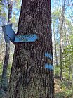 Natchaug Trail northern trailhead at intersection with Nipmuck Trail in Eastford, CT.
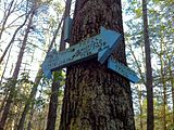 Natchaug Trail northern trailhead at intersection with Nipmuck Trail in Eastford, CT.
See also
- Blue-Blazed Trails
- Connecticut Route 198
- Nipmuck Trail
- Natchaug River
- Natchaug State Forest
- James L. Goodwin State Forest
- List of place names in New England of aboriginal origin
References
- ^ Colson, Ann T. (2006). Connecticut Walk Book West (19th edition). Connecticut Forest and Park Association. ISBN 0961905263.
- ^ List of place names in New England of aboriginal origin
- ^ James L. Goodwin State Forest
- ^ Natchaug State Forest DEP Letterbox
- ^ a b James L. Goodwin State Forest DEP Letterbox
- ^ [1]
- ^ NOAA
- ^ "The Connecticut 400". Rocks on Top. http://www.rocksontop.com/rocks/viewtopic.php?f=22&t=3408. Retrieved 2010-05-29.
- ^ Robinson, Ruth (1993-06-06). "Hikers Seek New Trails to Conquer". The New York Times. http://www.nytimes.com/1993/06/06/nyregion/hikers-seek-new-trails-to-conquer.html?sec=&spon=&pagewanted=all. Retrieved 2010-05-29.
- ^ "Hikes". Connecticut Museum Quest. http://www.ctmuseumquest.com/?page_id=23. Retrieved 2010-05-29.
- ^ "Forestry – Looking Beyond the Trees : Letterboxing in Connecticut's State Forests". Department of Environmental Protection, State of Connecticut. http://www.ct.gov/dep/cwp/view.asp?a=2697&q=322826&depNav_GID=1631. Retrieved 2010-05-29.
- Connecticut Forest & Park Association Cited September 13, 2008.
External links
Specific to this trail:
Government links:
- Town of Mansfield - Trail Guides
- Town of Mansfield - Schoolhouse Brook Park
- State of Connecticut James L. Goodwin State Forest web page
- State of Connecticut James L. Goodwin State Forest Color Map
- State of Connecticut James L. Goodwin State Forest Black and White Map
- State of Connecticut Natchaug State Forest web page
- State of Connecticut Natchaug State Forest Trail Map
Land and Conservation trusts:
- Joshua's Tract Conservation and Historic Trust, Inc.
- Joshua's Tract/Tract Trails Walk Book
- Joshua's Tract/Trust Trail Maps
Further reading
- Books – Connecticut Hiking
- Colson, Ann (2005). Connecticut Walk Book East (19 ed.). Rockfall, Connecticut: Connecticut Forest and Park Association. pp. 1–261. ISBN 0961905255. http://books.google.com/books?id=x3vXPQAACAAJ.
- Colson, Ann (2006). Connecticut Walk Book West (19 ed.). Rockfall, Connecticut: Connecticut Forest and Park Association. pp. 1–353. ISBN 0961905263. http://books.google.com/books?id=5hZSAAAACAAJ.
- Emblidge, David (1998). Hikes in southern New England: Connecticut, Massachusetts, Vermont (1 ed.). Mechanicsburg, Pennsylvania: Stackpole Books. pp. 1–304. ISBN 0-8117-2669-X. http://books.google.com/books?id=H_4A-XrPYggC&lpg=PP1&pg=PP1#v=onepage&q&f=false.
- Keyarts, Eugene (2002). Pietrzyk, Cindi Dale. ed. Short Nature Walks: Connecticut Guide Book (7 ed.). Guilford, Connecticut: Falcon Publishing. pp. 1–192. ISBN 0-7627-2310-6. http://www.globepequot.com/isbn/0-7627-2310-6.
- Laubach, Rene; Smith, Charles W. G. (2007). AMC's Best Day Hikes in Connecticut (1 ed.). Guilford, Connecticut: Appalachian Mountain Club Books. pp. 1–320. ISBN 1-934028-10-X. http://www.globepequot.com/isbn/1-934028-10-X.
- Ostertag, Rhonda; Ostertag, George (2002). Hiking Southern New England (2 ed.). Guilford, Connecticut: Falcon Publishing. pp. 1–336. ISBN 0-7627-2246-0. http://www.globepequot.com/isbn/0-7627-2246-0.
- Books – Connecticut History and Geography
- De Forest, John (1853). History of the Indians of Connecticut from the earliest known period to 1850. Hartford, Connecticut: Wm. Jas. Hamersley. pp. 1–509. http://books.google.com/books?id=QysTAAAAYAAJ&dq=editions%3AHARVARD32044014634349&pg=PP1#v=onepage&q&f=false.
- Hayward, John (1857). New England Gazetteer: Containing Descriptions of the States, Counties, Cities and Towns of New England (2 ed.). Boston, Massachusetts: Otis Clapp. pp. 1–704. http://books.google.com/books?id=vMcMAAAAYAAJ&ots=qbWGmJHe8A&dq=New%20England%20Gazetteer%20states%20counties%20towns&pg=PR1#v=onepage&q=&f=false.
- Trumbull, Benjamin (1797). Volume One A Complete History of Connecticut - Civil and Ecclesiastical. Volume I (1818 printing ed.). New Haven, Connecticut: Maltby, Goldsmith & Co. and Samuel Wadsworth. pp. 1-1166. http://books.google.com/books?id=I2Z4ACHdrIoC Volume One.
- Trumbull, Benjamin (1797). Volume Two A Complete History of Connecticut - Civil and Ecclesiastical. Volume II (1818 printing ed.). New Haven, Connecticut: Maltby, Goldsmith & Co. and Samuel Wadsworth. pp. 1-1166. http://books.google.com/books?id=qwgWAAAAYAAJ&ots=N7363Fc8D4&dq=A%20Complete%20History%20of%20Connecticut%20-%20Civil%20and%20Ecclesiastical&pg=PR3#v=onepage&q&f=false Volume Two.
Coordinates: 41°59′56″N 72°07′55″W / 41.999°N 72.132°W
Hiking Trails in Connecticut Airline State Park Trail • Alain and May White Trails • American Legion • Appalachian Trail • Aspetuck Valley • Bigelow Hollow • Case Mountain • Charter Oak Greenway • Chatfield • Cockaponset • East Coast Greenway • Falls Brook • Farmington Canal Heritage Trail • Gay City • Hancock Brook • Hop River State Park Trail • Housatonic Range • Jericho • Kettletown • Lillinonah • Lone Pine • Macedonia Brook • Mattabesett • Mattatuck • McLean Game Refuge • Menunkatuck • Metacomet • Mohawk • Moosup Valley State Park Trail • Muir • Narragansett • Natchaug • Naugatuck • Nayantaquit • Nehantic • New England National Scenic Trail • Nipmuck • Old Furnace • Patchaug • Paugussett • Peoples • Pequot • Pine Knob • Pomperaug • Quinebaug • Quinnipiac • Ragged Mountain • Regicides • Salmon River • Saugatuck • Shenipsit • Sleeping Giant • Sleeping Giant State Park • Stony Creek Quarry • Sunny Valley Preserve • Tunxis • Washington–Rochambeau Revolutionary Route • Westwoods • Whitestone Cliffs • Wolcott Trail • Zoar

Protected areas of Connecticut National Park Service National Wildlife Refuges Silvio O. Conte • Stewart B. McKinney National Wildlife Refuge
National Trails State Parks Airline • Beckley Iron Furnace Industrial Monument • Bigelow Hollow • Black Rock • Bluff Point • Burr Pond • Camp Columbia • Campbell Falls • Chatfield Hollow • Collis P. Huntington • Connecticut Valley Railroad • Day Pond • Dennis Hill • Devil's Hopyard • Dinosaur • Fort Griswold Battlefield • Fort Trumbull • Gardner Lake • Gay City • George W. Seymour • Gillette Castle • Haddam Meadows • Haley Farm • Hammonasset Beach • Hampton Beach • Harkness Memorial • Haystack Mountain • Hop River State Park Trail • Hopeville Pond • Housatonic Meadows • Hurd • Indian Well • John A. Minetto • Kent Falls • Kettletown • Lake Waramaug • Larkin State Park Trail • Levy • Lovers Leap • Macedonia Brook • Mansfield Hollow • Mashamoquet Brook • Millers Pond • Mohawk Mountain • Moosup Valley State Park Trail • Mount Tom • Old Furnace • Osbornedale • Penwood • Putnam Memorial • Quaddick • Quinnipiac River • River Highlands • Rocky Neck • Selden Neck • Seth Low Pierrepont • Sherwood Island • Silver Sands • Sleeping Giant • Southford Falls • Squantz Pond • Stratton Brook • Talcott Mountain • Wadsworth Falls • West Rock Ridge • Wharton Brook • Windsor Locks Canal State Park Trail
State Forests Algonquin • American Legion • Centennial Watershed • Cockaponset • Enders • James L. Goodwin • Housatonic • Massacoe • Mattatuck • Meshomasic • Mohawk • Mohegan • Nassahegon • Natchaug • Nathan Hale • Nehantic • Nepaug • Nipmuck • Nye-Holman • Pachaug • Paugnut • People's • Pootatuck • Quaddick • Salmon River • Shenipsit • Topsmead • Tunxis • Wyantenock
Connecticut Department of Environmental Protection (web) Categories:- Hiking trails in Connecticut
- Protected areas of Windham County, Connecticut
- Ashford, Connecticut
- Chaplin, Connecticut
- Eastford, Connecticut
- Hampton, Connecticut


Wikimedia Foundation. 2010.