- Natchaug River
-
Natchaug River River  Mansfield Hollow Lake looking north from the southwestern shore and boat launch on Bassetts Bridge Road.
Country United States State Connecticut Counties Tolland, Windham Mouth Confluence with Willimantic River to form Shetucket River - location Willimantic, Windham County, Connecticut, USA - coordinates 41°42′46″N 72°11′30″W / 41.71278°N 72.19167°W [1] 

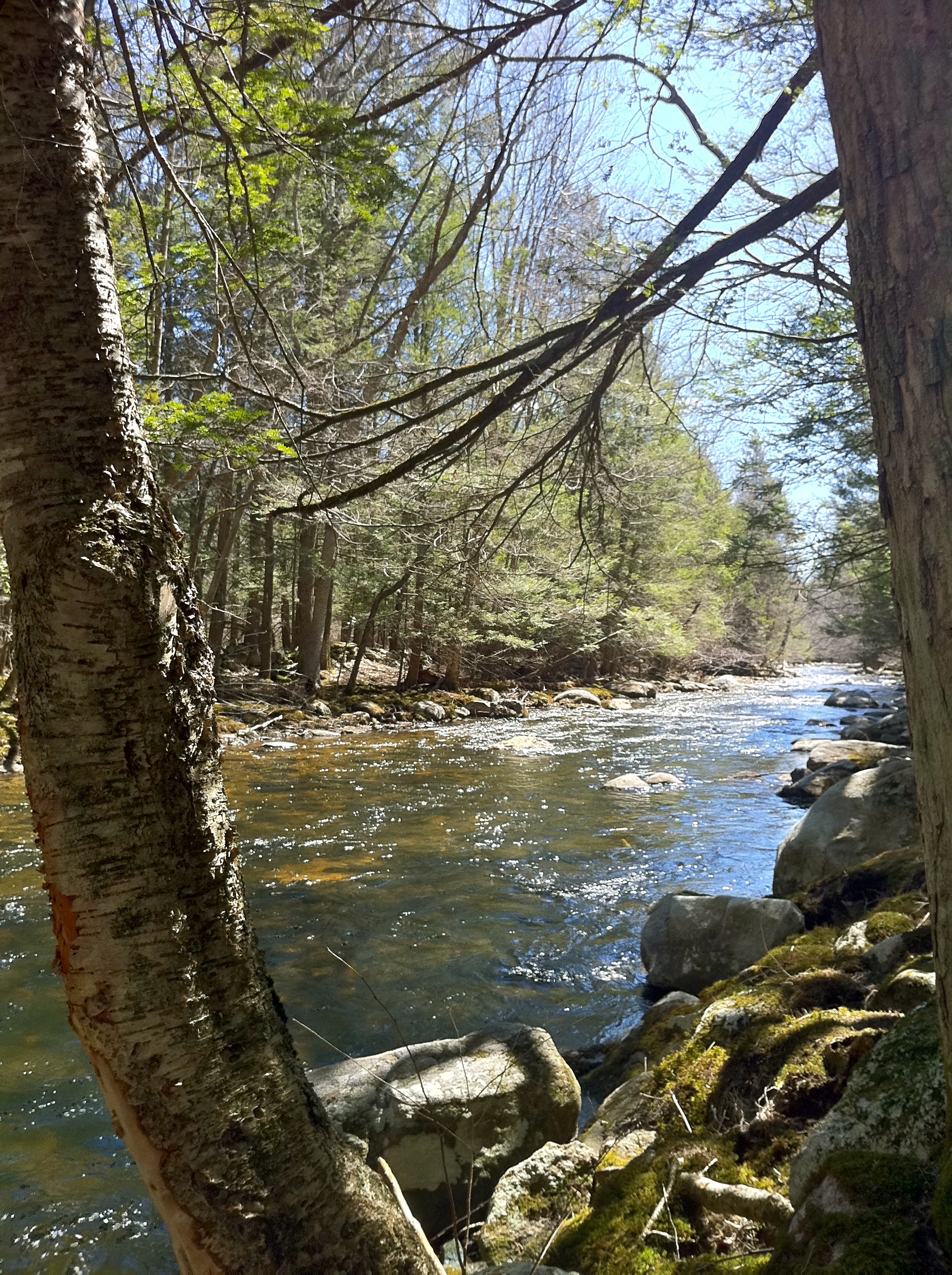
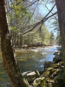 Bigelow Brook from the Natchaug Trail in Eastford Connecticut, the head waters of the Natchaug River.
The Natchaug River is a 17.9-mile-long (28.8 km)[2] river in Windham and Tolland Counties in Connecticut.
The Natchaug River is formed in Eastford, Connecticut at the confluence of Bigelow Brook and the Still River. It then flows to the south, paralleling Connecticut Route 198. The river also runs along (and in a few cases through) the western border of the main Natchaug State Forest parcel. Where the river briefly passes through Natchaug State Forest, locals can have picnics along the river, and enjoy white-water rafting through the abundant rapids and swimming in the river's clean water. This spot becomes very crowded at certain times of the year. After passing through this area, the Natchaug River begins flowing in a more southwesterly direction, still paralleling Connecticut Route 198. The river enters the town of Chaplin, and eventually passes under Route 198. Diana's Pool, another popular swimming hole for locals, lies on the Natchaug River just before this point. The river then continues to flow to the southwest, entering Windham, and paralleling U.S. Route 6. It finally flows into the Mansfield Hollow Lake near the Windham Airport. The Natchaug River then flows out of the Mansfield Hollow Reservoir through the Mansfield Hollow Dam, now carrying the waters of the Mount Hope River and the Fenton River, which also flow into the Mansfield Hollow Reservoir. After leaving the reservoir, the Natchaug River forms the border between the towns of Mansfield and Windham, and also the border between Windham County and Tolland County. It then flows in and out of the Willimantic Reservoir, which is used for drinking water purposes and not for recreational use, passes under the U.S. Route 6 expressway, and enters Willimantic. The river passes under Connecticut Route 66, and then Connecticut Route 14, before it joins the Willimantic River, forming the Shetucket River.
References
- ^ Geographic Names Information System, United States Geological Survey (September 12, 1979). "Geographic Names Information System Feature Detail Report: Natchaug River". http://geonames.usgs.gov/pls/gnispublic/f?p=gnispq:3:::NO::P3_FID:209178. Retrieved 2007-06-04.
- ^ U.S. Geological Survey. National Hydrography Dataset high-resolution flowline data. The National Map, accessed April 1, 2011
External links
Categories:- Rivers of Tolland County, Connecticut
- Willimantic, Connecticut
- Connecticut stubs


Wikimedia Foundation. 2010.