- Mullavilly-Laurelvale
-
Coordinates: 54°22′08″N 6°27′05″W / 54.36876°N 6.45139°W
Mullavilly-Laurelvale Irish: Mullach a' Bhile[1]
Tamhnaigh Bhealtaine[2]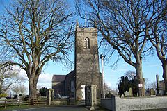
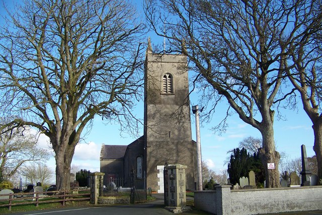
Mullavilly parish church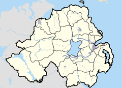

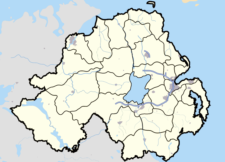
Mullavilly-Laurelvale shown within Northern IrelandPopulation 1,258 (2001) Irish grid reference J006478 - Belfast 25.5 mi (41.0 km) District Armagh County County Armagh Country Northern Ireland Sovereign state United Kingdom Post town CRAIGAVON Postcode district BT62 Dialling code 028, +44 28 EU Parliament Northern Ireland UK Parliament Newry & Armagh NI Assembly Newry & Armagh List of places: UK • Northern Ireland • Armagh Mullavilly-Laurelvale is a village in County Armagh, Northern Ireland. It was once two settlements but they have since merged. The village is 3 miles south of Portadown and 1.5 miles northwest of Tandragee.[3] In the 2001 Census Mullavilly-Laurelvale had a population of 1,258.
Contents
Name
The village covers the townlands of Mullavilly (from Irish: Mullach a' Bhile)[4][1] and Tamnaghvelton (formerly Tawnavalteny, from Irish: Tamhnaigh Bhealtaine, meaning "Bealtaine field").[2][5] Laurelvale was the name of a mansion that was built in the 19th Century.
History
Mullavilly-Laurelvale was founded in the 1850s by Thomas Sinton JP (1826–1887) to house the workers in his linen mill of Thomas Sinton & Co. Ltd, which was in the village. At its height, Sintons' Mill had over 1000 workers. The mill has since been demolished. The company remained in family ownership until 1945 when it was taken over by the Ministry of Defence and operated by Hoffmans (who made ball bearings for gun turrets). The Sinton family also ran mills and bleach-works in Tandragee, Killyleagh, Tullylish and at Ravarnet outside Hillsborough, County Down.
Thomas Sinton also built a large house in the village, Laurelvale House, which, following the Second World War, was the home of Michael Torrens-Spence, Lord Lieutenant of County Armagh. Laurelvale House has since been demolished to make way for housing development.
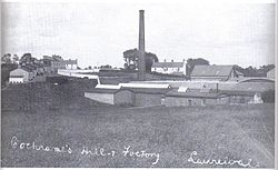 Sintons' Mill
Schools
- Mullavilly Primary School
Churches
- Mullavilly Parish Church
- St. Mary's Roman Catholic Church (Laurelvale)
Sport
Laurelvale F.C. has a ground in the Laurel Park area of the village. Laurelvale Cricket Club has a clubhouse on Mullavilly Road.
2001 Census
Mullavilly-Laurelvale is classified as a village by the Northern Ireland Statistics and Research Agency (NISRA) (ie with population between 1,000 and 2,250 people). On Census day (29 April 2001) there were 1,258 people living in Mullavilly-Laurelvale. Of these:
- 25.0% were aged under 16 years and 12.7% were aged 60 and over
- 49.5% of the population were male and 50.5% were female
- 9.2% were from a Catholic background and 90.8% were from a Protestant background
- 2.1% of people aged 16–74 were unemployed
For more details see: NI Neighbourhood Information Service
References
External links
- Laurelvale Football Club
- Laurelvale Northern Ireland Supporters Club
- Geneaology of Thomas Sinton
- Headstone Inscriptions at St Mary's Roman Catholic Church
Categories:- Untranslated Irish place names
- Villages in County Armagh
- Model villages
- Linen industry in Ireland

Wikimedia Foundation. 2010.