- Clarno, Oregon
-
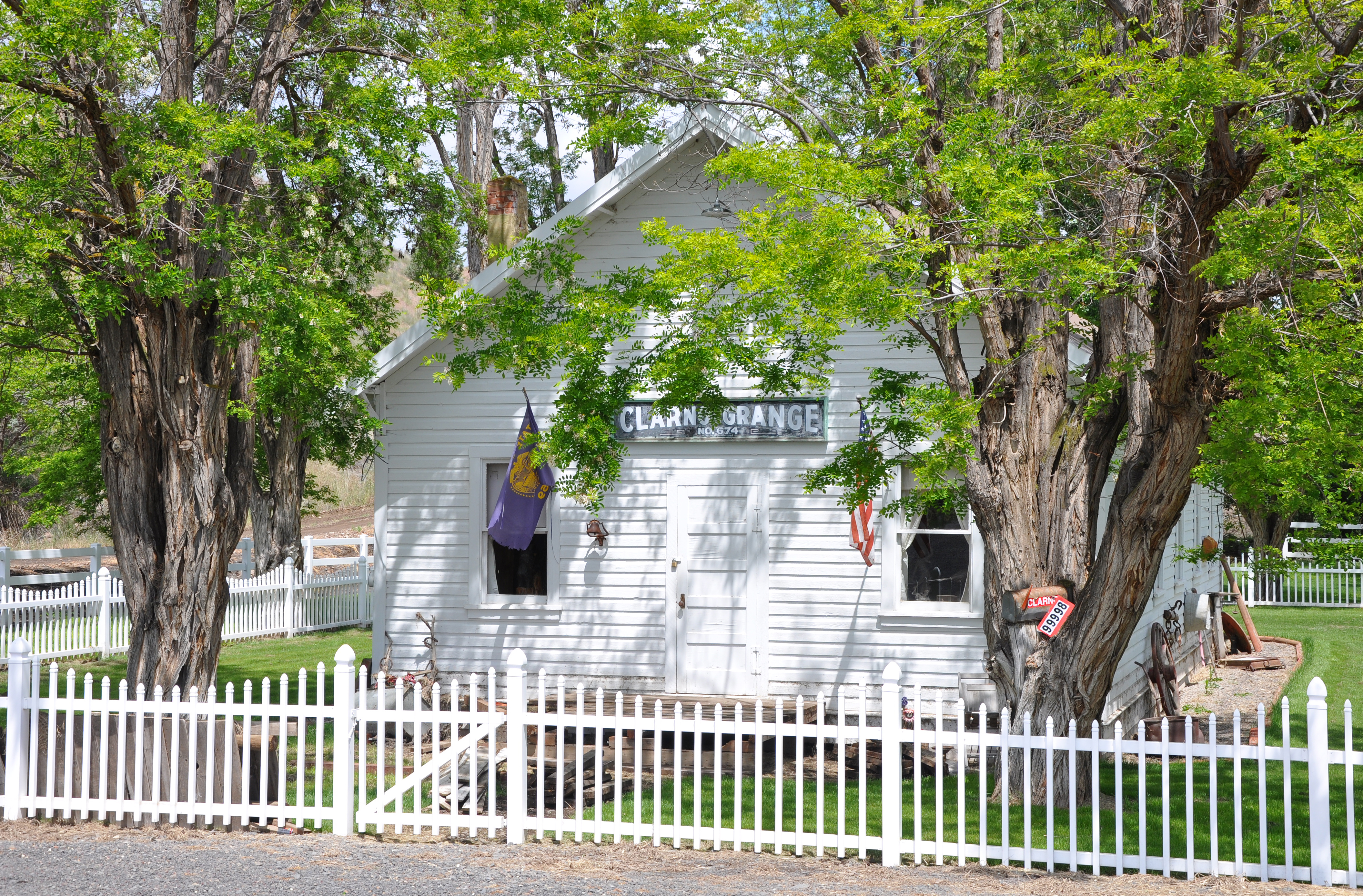
Clarno, Oregon — Unincorporated community — Clarno Grange in 2011 Location within the state of Oregon
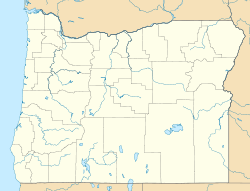
 Clarno, Oregon
Coordinates: 44°54′48″N 120°28′24″W / 44.91333°N 120.47333°WCoordinates: 44°54′48″N 120°28′24″W / 44.91333°N 120.47333°W Country United States State Oregon County Wasco Named for Andrew Clarno[1] Elevation 1,312 ft (400 m) Time zone PST (UTC-8) – Summer (DST) PDT (UTC-7) ZIP codes 97001 Area code(s) 541 Coordinates and elevation from United States Geological Survey[2] Clarno is an unincorporated community in Wasco County, in the U.S. state of Oregon.[2] It is located along Oregon Route 19 near the John Day River.
The community was named after Andrew Clarno, an early settler. The Clarno post office was established in 1894 in what was then Gilliam County, from which Wheeler County was later carved. After that, the post office was sometimes in Wheeler County, on the east side of the river, or in Wasco County, on the west side, depending on who was postmaster. The office closed in 1949.[1]
Charles Clarno, Andrew's son, built a miniature steamboat, The John Day Queen, used as a ferry and for pleasure trips. Propelled by steam from a wood-fired boiler, the 40-foot (12 m) craft plied the river from 10 miles (16 km) upstream of Clarno to about 4 miles (6 km) below. After a bridge was constructed at Clarno in 1897, the younger Clarno decided to float the boat down the John Day River to the Columbia River and then down the Columbia to Portland.[n 1] The attempt ended in failure at Clarno Rapids, slightly beyond where the boat normally traveled. There The John Day Queen broke free from guide ropes held by Charles Clarno and his friends and smashed on the rocks downstream. The spark arrestor from the boat was later rescued and donated to the city museum in Fossil.[5]
Notes and references
- Notes
- ^ By river, the distance from Clarno to the Columbia River is about 110 miles (180 km).[3] For whitewater enthusiasts, the long and complicated Clarno Rapids is rated at class 3 (difficult) on the International Scale of River Difficulty or class 4 (very difficult) in high water.[4]
- References
- ^ a b McArthur, Lewis A.; Lewis L. McArthur (2003) [1928]. Oregon Geographic Names (7th ed.). Portland, Oregon: Oregon Historical Society Press. p. 206. ISBN 0-87595-277-1.
- ^ a b "Clarno". Geographic Names Information System, U.S. Geological Survey. November 28, 1980. http://geonames.usgs.gov/pls/gnispublic/f?p=gnispq:3:::NO::P3_FID:1136154. Retrieved June 6, 2011.
- ^ "Online Topographic Maps from the United States Geological Survey: Clarno Quadrangle". TopoQuest. http://www.topoquest.com/map.php?lat=44.913333&lon=-120.473333&datum=nad83&zoom=4. Retrieved August 9, 2011.
- ^ Giordano, Pete (2004). Soggy Sneakers (4th ed.). Seattle: The Mountaineers Books. pp. 324–26. ISBN 978-0-89886-815-9.
- ^ Fussner, F. Smith, ed. (1975). Glimpses of Wheeler County's Past: An Early History of North Central Oregon. Portland, Oregon: Binford & Mort. pp. 28–29. ISBN 0-8323-0249-X.
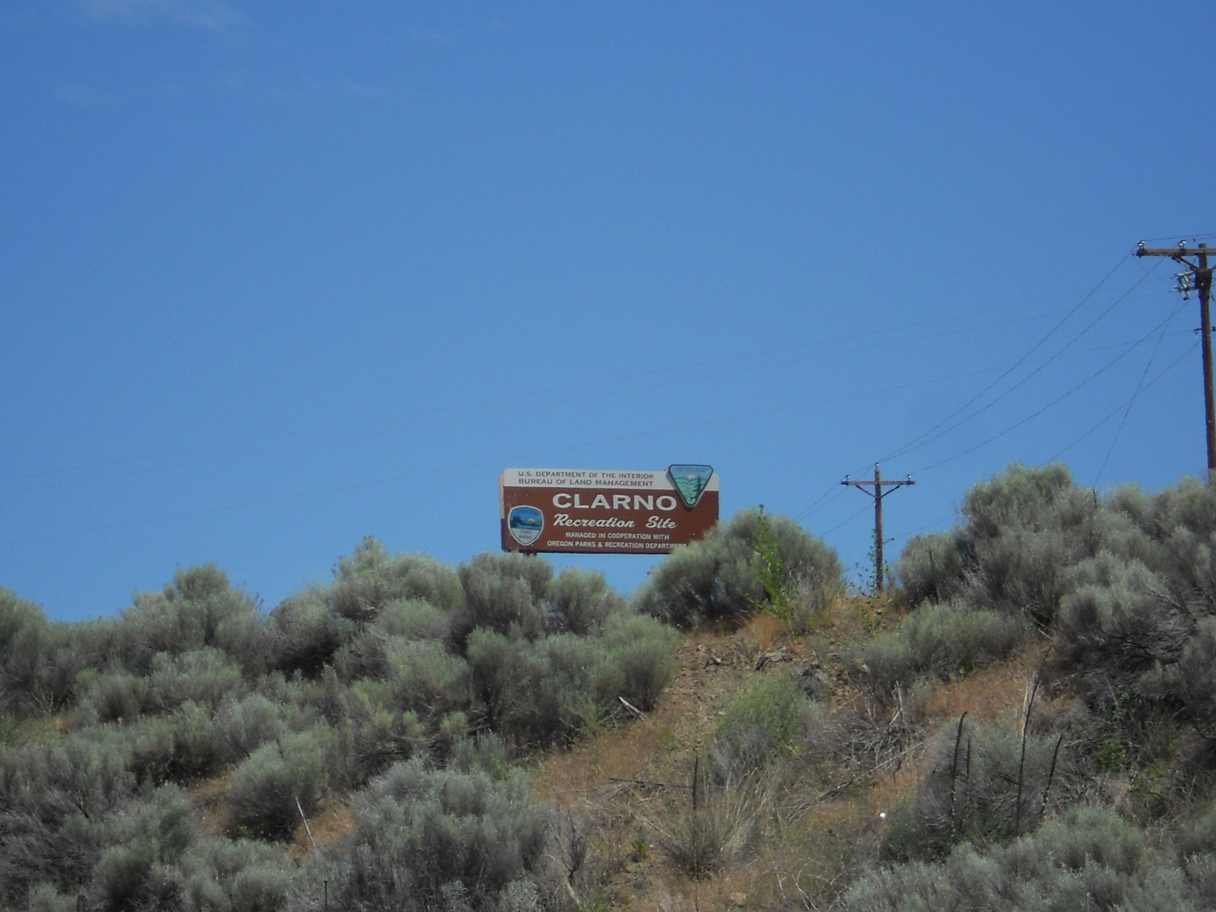
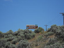 Clarno Recreation Site along the John Day River
Municipalities and communities of Wasco County, Oregon Cities 
CDPs Chenoweth | Pine Grove | Pine Hollow | Rowena | Tygh Valley | Wamic
Unincorporated
communitiesCelilo Village | Clarno | Fairbanks | Friend | Kingsley | Rice | Shaniko Junction | Wapinitia
Indian reservation Ghost towns Categories:- Unincorporated communities in Wasco County, Oregon


Wikimedia Foundation. 2010.