- Pensax
-
Coordinates: 52°19′06″N 2°24′28″W / 52.31840°N 2.40779°W
Pensax 
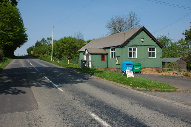
Pensax Parish Hall
 Pensax
Pensax shown within WorcestershirePopulation 317 OS grid reference SO723690 Parish Pensax District Malvern Hills Shire county Worcestershire Region West Midlands Country England Sovereign state United Kingdom Post town WORCESTER Postcode district WR6 Police West Mercia Fire Hereford and Worcester Ambulance West Midlands EU Parliament West Midlands List of places: UK • England • Worcestershire Pensax is a village and civil parish of Northwest Worcestershire in England, incorporating the hamlet of Menithwood to the west of Pensax Common. According to the 2001 census, the parish had a population of 317.[1]
Pensax borders the parishes of Stockton-on-Teme, Abberley, Rock and Lindridge. It is home to a multiple CAMRA award-winning pub, 'The Bell', which won 'West Midlands Pub of The Year' in 2007.[2] Besides The Bell, Pensax is home to a parish church (dedicated to St. James the Great) built 1832 [3] and a small village-hall. A local primary school, Pensax Church of England school, closed in 2003. [4]
The name Pensax is a combination of the Celtic word for hill "Penn" and the word for "Saxon" Seax. The close village of Menith Wood also has a Celtic name meaning mountain/hill the same as the Welsh word "mynydd". This indicates a strong Celtic speaking population having still resided in this area after the Anglo Saxons took over local government. Along with the river Teme nearby which also comes from the Celtic "tamesis" the dark one, the same as the Thames and Tame.
For local government purposes Pensax forms part of the district of Malvern Hills.
References
External links
Categories:- Villages in Worcestershire
- Worcestershire geography stubs

Wikimedia Foundation. 2010.