- Derry Township, Westmoreland County, Pennsylvania
-
For other Pennsylvania townships of the same name, see Derry Township, Pennsylvania (disambiguation).
Derry Township,
Westmoreland County,
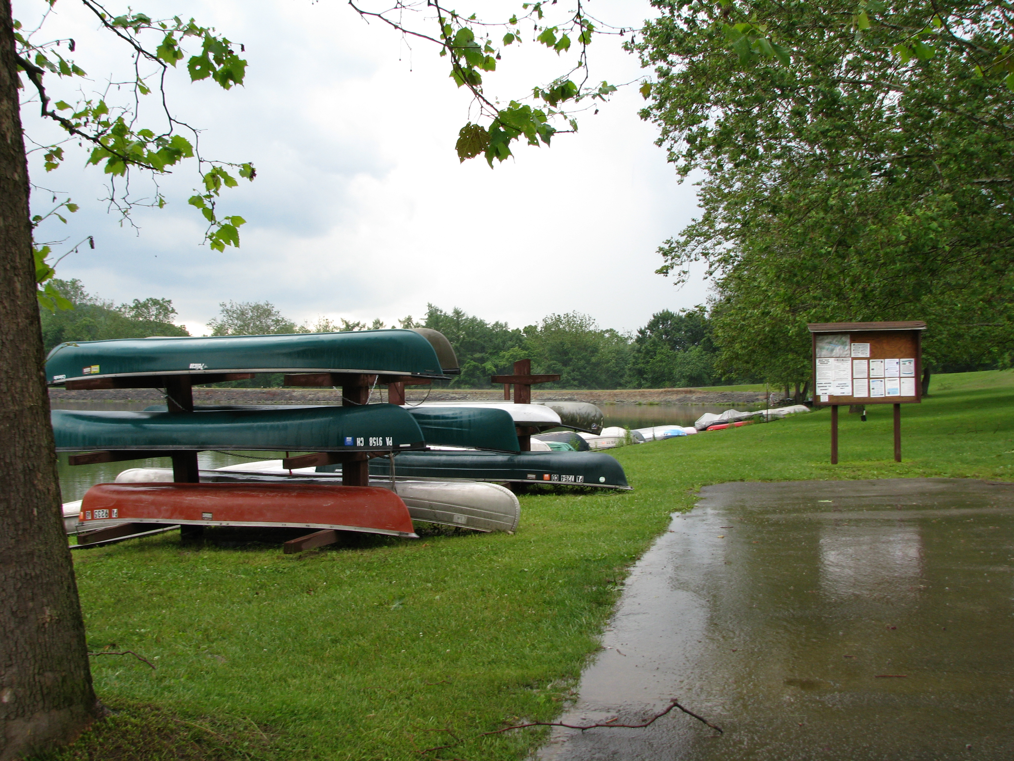
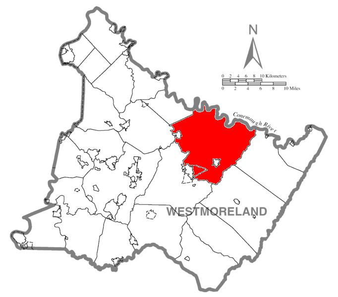
Pennsylvania— Township — Keystone State Park is in Derry Township Map of Westmoreland County, Pennsylvania Highlighting Derry Township
 Map of Pennsylvania highlighting
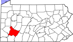
Westmoreland CountyCountry United States State Pennsylvania County Westmoreland Settled 1763 Incorporated 1775 Area – Total 97.4 sq mi (252.3 km2) – Land 95.8 sq mi (248.1 km2) – Water 1.6 sq mi (4.1 km2) Population (2000) – Total 14,726 – Density 153.6/sq mi (59.3/km2) Time zone Eastern (EST) (UTC-5) – Summer (DST) EDT (UTC-4) Website http://www.derrytownship.com Derry Township is a township in Westmoreland County, Pennsylvania, in the United States. It surrounds the Borough of Derry, which is a separate municipality. As of the 2000 census, the township population was 14,726.
It was named after the city of Derry in Northern Ireland.
Contents
Geography
According to the United States Census Bureau, the township has a total area of 97.4 square miles (252 km2), of which, 95.8 square miles (248 km2) of it is land and 1.5 square miles (3.9 km2) of it (1.56%) is water.
The township contains the following communities: Andrico, Andrico No. 2, Altantic, Bairdstown, Bradenville, Brenizer, Hillside, Loyalhanna, Cokeville Heights, Cooperstown, Kingston, Mannitto Haven, McChesneytown, Millwood, New Derry, Osburn, Pandora, Peanut, Seger, Snydertown, Superior, Torrance, and West Derry. The villages of Livermore and Cokeville no longer exist, relocated as part of the Conemaugh Dam Flood Control project.
Demographics
As of the census[1] of 2000, there were 14,726 people, 5,716 households, and 4,201 families residing in the township. The population density was 153.6 people per square mile (59.3/km²). There were 6,200 housing units at an average density of 64.7/sq mi (25.0/km²). The racial makeup of the township was 98.21% White, 1.18% African American, 0.03% Native American, 0.14% Asian, 0.01% Pacific Islander, 0.05% from other races, and 0.37% from two or more races. Hispanic or Latino of any race were 0.47% of the population.
There were 5,716 households out of which 29.8% had children under the age of 18 living with them, 58.9% were married couples living together, 10.1% had a female householder with no husband present, and 26.5% were non-families. 23.2% of all households were made up of individuals and 11.0% had someone living alone who was 65 years of age or older. The average household size was 2.48 and the average family size was 2.91.
In the township the population was spread out with 22.2% under the age of 18, 6.7% from 18 to 24, 28.3% from 25 to 44, 26.0% from 45 to 64, and 16.7% who were 65 years of age or older. The median age was 41 years. For every 100 females there were 97.9 males. For every 100 females age 18 and over, there were 94.8 males.
The median income for a household in the township was $34,208, and the median income for a family was $40,878. Males had a median income of $32,589 versus $22,147 for females. The per capita income for the township was $16,425. About 8.3% of families and 10.1% of the population were below the poverty line, including 14.5% of those under age 18 and 5.5% of those age 65 or over.
References
- ^ "American FactFinder". United States Census Bureau. http://factfinder.census.gov. Retrieved 2008-01-31.
External links
Municipalities and communities of Westmoreland County, Pennsylvania Cities Arnold | Greensburg | Jeannette | Latrobe | Lower Burrell | Monessen | New Kensington

Boroughs Adamsburg | Arona | Avonmore | Bolivar | Delmont | Derry | Donegal | East Vandergrift | Export | Hunker | Hyde Park | Irwin | Laurel Mountain | Ligonier | Madison | Manor | Mount Pleasant | Murrysville | New Alexandria | New Florence | New Stanton | North Belle Vernon | North Irwin | Oklahoma | Penn | Scottdale | Seward | Smithton | South Greensburg | Southwest Greensburg | Sutersville | Trafford‡ | Vandergrift | West Leechburg | West Newton | Youngstown | Youngwood
Townships Allegheny | Bell | Cook | Derry | Donegal | East Huntingdon | Fairfield | Hempfield | Ligonier | Loyalhanna | Mount Pleasant | North Huntingdon | Penn | Rostraver | St. Clair | Salem | Sewickley | South Huntingdon | Unity | Upper Burrell | Washington
CDPs Unincorporated
communitiesAcme | Boquet | Calumet | Hannastown | Hopewell | Hutchinson | Kecksburg | Lloydsville | Luxor | Moween | Norvelt | Ruffs Dale | Southwest | Stahlstown | Standard Shaft | Salina | Turkeytown | United
Ghost town Footnotes ‡This populated place also has portions in an adjacent county or counties
Coordinates: 40°23′00″N 79°13′59″W / 40.3833333°N 79.23306°W
Categories:- Townships in Westmoreland County, Pennsylvania
- Pittsburgh metropolitan area

Wikimedia Foundation. 2010.