- Donegal, Pennsylvania
-
- There are also three Donegal Townships in Pennsylvania.
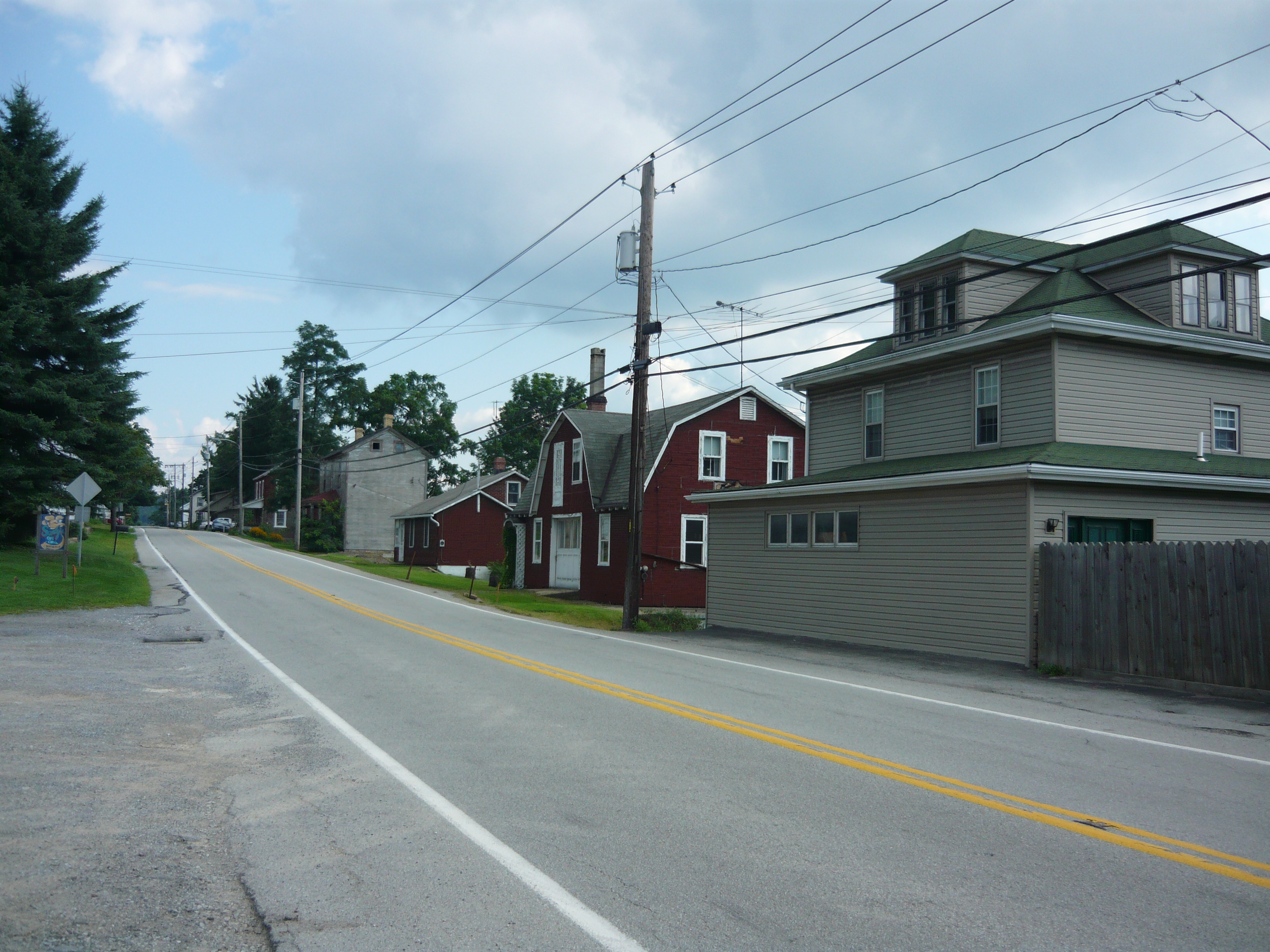
Donegal, Pennsylvania — Borough — Main Street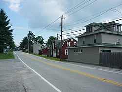

 Donegal, Pennsylvania
Coordinates: 40°06′42″N 79°22′55″W / 40.11167°N 79.38194°WCoordinates: 40°06′42″N 79°22′55″W / 40.11167°N 79.38194°W Country United States State Pennsylvania County Westmoreland Settled 1796 Incorporated August 20, 1867 Government – Type Borough Council – Mayor Area – Total 0.3 sq mi (0.8 km2) Elevation 1,834 ft (559 m) Population (2000) – Total 165 – Density 519.1/sq mi (200.4/km2) Time zone Eastern (EST) (UTC-5) – Summer (DST) EDT (UTC-4) Zip code 15628 Donegal is a borough in Westmoreland County, Pennsylvania, United States. It is a distinct municipality from the adjacent Donegal Township. The population was 165 at the 2000 census. Donegal is best known as an exit on the Pennsylvania Turnpike with restaurants, gas stations, and a hotel for travelers.
It was named after the town and county of Donegal in Ireland.
Contents
Geography
Donegal is located at 40°6′42″N 79°22′55″W / 40.11167°N 79.38194°W (40.111789, -79.381931)[1].
According to the United States Census Bureau, the borough has a total area of 0.3 square miles (0.78 km2), all of it land.
Demographics
As of the census[2] of 2000, there were 165 people, 72 households, and 47 families residing in the borough. The population density was 519.1 people per square mile (199.1/km²). There were 79 housing units at an average density of 248.5 per square mile (95.3/km²). The racial makeup of the borough was 98.79% White, and 1.21% from two or more races.
There were 72 households out of which 26.4% had children under the age of 18 living with them, 54.2% were married couples living together, 9.7% had a female householder with no husband present, and 34.7% were non-families. 29.2% of all households were made up of individuals and 9.7% had someone living alone who was 65 years of age or older. The average household size was 2.29 and the average family size was 2.83.
In the borough the population was spread out with 21.8% under the age of 18, 10.3% from 18 to 24, 24.8% from 25 to 44, 27.3% from 45 to 64, and 15.8% who were 65 years of age or older. The median age was 41 years. For every 100 females there were 81.3 males. For every 100 females age 18 and over, there were 81.7 males.
The median income for a household in the borough was $23,875, and the median income for a family was $25,417. Males had a median income of $32,000 versus $13,958 for females. The per capita income for the borough was $12,656. About 21.1% of families and 20.0% of the population were below the poverty line, including 18.9% of those under the age of eighteen and 17.1% of those sixty five or over.
Education
Donegal has an elementary school for its children and for the children of several other area communities. As part of the Mount Pleasant Area School District, older students attend Mount Pleasant Area Junior/Senior High School.
References
- ^ "US Gazetteer files: 2010, 2000, and 1990". United States Census Bureau. 2011-02-12. http://www.census.gov/geo/www/gazetteer/gazette.html. Retrieved 2011-04-23.
- ^ "American FactFinder". United States Census Bureau. http://factfinder.census.gov. Retrieved 2008-01-31.
Categories:- Boroughs in Westmoreland County, Pennsylvania
- Populated places established in 1796
- Pittsburgh metropolitan area


Wikimedia Foundation. 2010.