- Chedgrave
-
Coordinates: 52°32′30″N 1°29′12″E / 52.54167°N 1.48667°E
Chedgrave 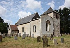
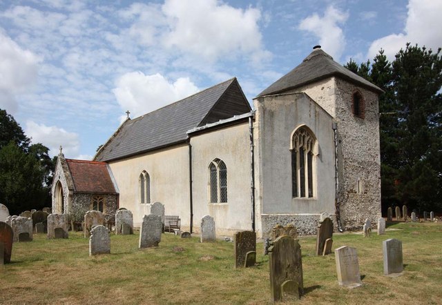
All Saints, Chedgrave
 Chedgrave
Chedgrave shown within NorfolkArea 3.52 km2 (1.36 sq mi) Population 985 - Density 280 /km2 (730 /sq mi) OS grid reference TM364995 Parish Chedgrave District South Norfolk Shire county Norfolk Region East Country England Sovereign state United Kingdom Post town NORWICH Postcode district NR14 Police Norfolk Fire Norfolk Ambulance East of England EU Parliament East of England List of places: UK • England • Norfolk Chedgrave is a small village beside the River Chet, in Norfolk, England. It covers 3.52 square kilometres (1.36 sq mi) and had a population of 985 in 430 households as of the 2001 census.[1]
The Chet is known for its interesting wildlife.
Notes
- ^ "Chedgrave parish information". 29 April 2009. http://www.south-norfolk.gov.uk/democracy/chedgrave_parish.asp. Retrieved 20 June 2009.
References
- The geographic coordinates are from the Ordnance Survey.
External links
 Media related to Chedgrave at Wikimedia CommonsCategories:
- South Norfolk
- Villages in Norfolk
- Civil parishes in Norfolk
- Norfolk geography stubs

Wikimedia Foundation. 2010.