- Dundee, Michigan
-
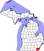
Dundee, Michigan — Village — Dundee Historic District along M-50 Location in Monroe County and the state of Michigan
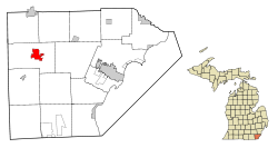
Coordinates: 41°57′26″N 83°39′35″W / 41.95722°N 83.65972°W Country United States State Michigan County Monroe Area – Total 3.2 sq mi (8.4 km2) – Land 3.2 sq mi (8.4 km2) – Water 0.0 sq mi (0.0 km2) Elevation 666 ft (203 m) Population (2000) – Total 3,522 – Density 1,090.4/sq mi (421.0/km2) Time zone Eastern (EST) (UTC-5) – Summer (DST) EDT (UTC-4) ZIP code 48131 Area code(s) 734 FIPS code 26-23380[1] GNIS feature ID 0624990[2] Dundee is a village in Monroe County in the U.S. state of Michigan. The population was 3,522 at the 2000 census. The village is located within Dundee Township. Through a series of annexations and land transfers, the village has greatly increased in size over the past several years. The village and the surrounding township are served by Dundee Community Schools.
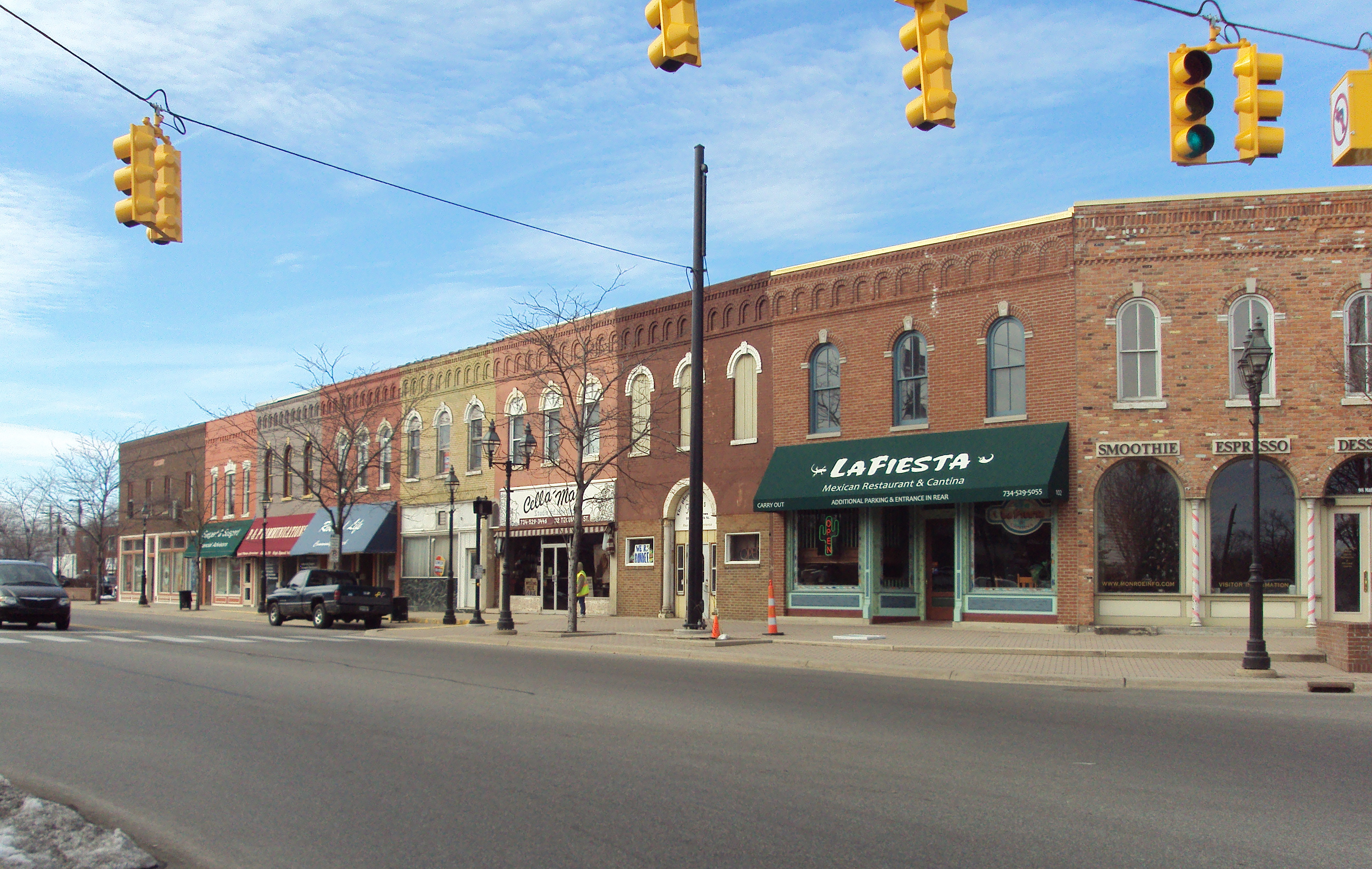
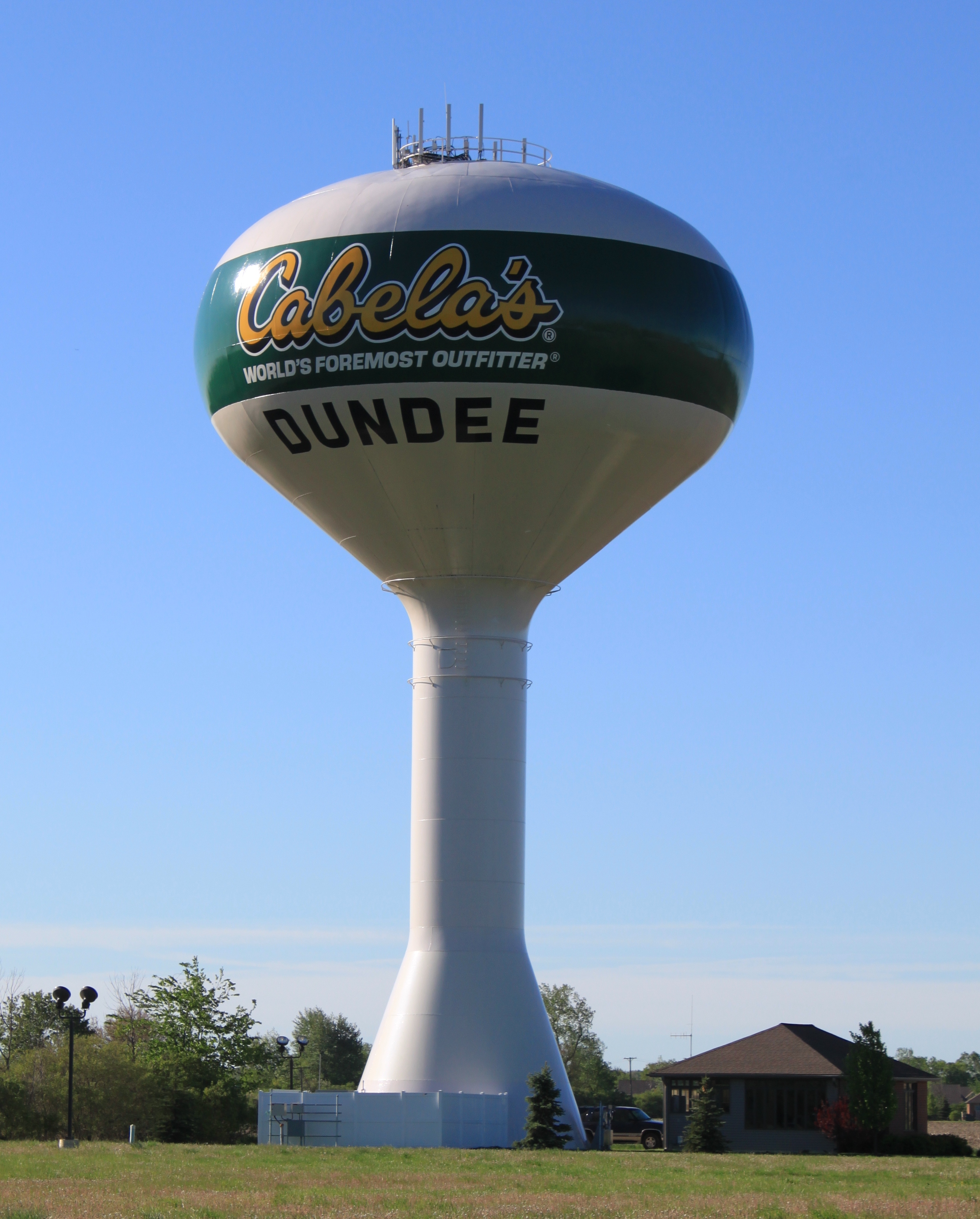
Dundee is well known for its Cabela's sporting goods store, located near the intersection of M-50 and U.S. Route 23. Settled in as early as 1823, the Dundee Historic District offers a collection of shops and restaurants along the River Raisin. Dundee is nicknamed the "Hub of the Highways" due to the intersection of major historic thoroughfares at the village's center.
On June 6, 2010 around 2:17am EST a EF2 tornado struck the area doing major damage to Cabela's, Splash Universe Waterpark, and restaurants in the area. There were no major injuries but there are reports of major damage to the village. {NWS Detroit/Pontiac}
Geography
According to the United States Census Bureau, the village has a total area of 3.2 square miles (8.3 km2), all land.
Demographics
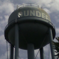
 The village's former water tower that was torn down in August 2009
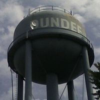
 Cabela's water tower
As of the census[1] of 2000, there were 3,522 people, 1,389 households, and 913 families residing in the village. The population density was 1,091.5 per square mile (421.0/km²). There were 1,477 housing units at an average density of 457.7 per square mile (176.6/km²). The racial makeup of the village was 96.91% White, 0.65% African American, 0.40% Native American, 0.40% Asian, 0.23% from other races, and 1.42% from two or more races. Hispanic or Latino of any race were 1.19% of the population.
There were 1,389 households out of which 35.3% had children under the age of 18 living with them, 47.6% were married couples living together, 12.7% had a female householder with no husband present, and 34.2% were non-families. 28.5% of all households were made up of individuals and 11.4% had someone living alone who was 65 years of age or older. The average household size was 2.53 and the average family size was 3.10.
In the village the population was spread out with 28.9% under the age of 18, 10.9% from 18 to 24, 32.2% from 25 to 44, 17.7% from 45 to 64, and 10.2% who were 65 years of age or older. The median age was 31 years. For every 100 females there were 93.6 males. For every 100 females age 18 and over, there were 90.8 males. The median income for a household in the village was $41,563, and the median income for a family was $49,479. Males had a median income of $40,612 versus $24,908 for females. The per capita income for the village was $18,389. About 5.5% of families and 9.0% of the population were below the poverty line, including 11.0% of those under age 18 and 2.6% of those age 65 or over.
Two Baptist churches one Independent (Calvary Baptist) the other Southern Baptist (Dundee Baptist), One Assembly of God church, One Catholic Church, One Nazarene church, One United Methodist church and One Lutheran church.
References
- ^ a b "American FactFinder". United States Census Bureau. http://factfinder.census.gov. Retrieved 2008-01-31.
- ^ "US Board on Geographic Names". United States Geological Survey. 2007-10-25. http://geonames.usgs.gov. Retrieved 2008-01-31.
External links
Municipalities and communities of Monroe County, Michigan Cities Flat Rock‡ | Luna Pier | Milan‡ | Monroe | Petersburg
Villages Carleton | Dundee | Estral Beach | Maybee | South Rockwood
Charter
townshipsBerlin | Frenchtown | Monroe
General law
townshipsUnincorporated
communitiesAzalia | Detroit Beach | Diann | Erie | Ida | Lambertville | La Salle | Newport | Ottawa Lake | Samaria | Scofield | South Monroe | Stony Point | Temperance | West Monroe | Whiteford Center | Woodland Beach
Footnotes ‡This populated place also has portions in an adjacent county or counties
Coordinates: 41°57′26″N 83°39′35″W / 41.95722°N 83.65972°W
Categories:- Populated places in Monroe County, Michigan
- Villages in Michigan
- Populated places established in 1823


Wikimedia Foundation. 2010.