- Meersbrook
-
Coordinates: 53°21′11″N 1°28′12″W / 53.353°N 1.470°W
Meersbrook 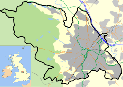
 Meersbrook
Meersbrook shown within SheffieldMetropolitan borough Sheffield Metropolitan county South Yorkshire Region Yorkshire and the Humber Country England Sovereign state United Kingdom Post town SHEFFIELD Postcode district S8 Dialling code 0114 Police South Yorkshire Fire South Yorkshire Ambulance Yorkshire EU Parliament Yorkshire and the Humber UK Parliament Sheffield Heeley List of places: UK • England • Yorkshire Meersbrook (grid reference SK354841) is a suburban district in the Gleadless Valley ward of Sheffield, England located to the south of Heeley. The name comes from the stream, the Meers Brook, a tributary of the River Sheaf which means 'boundary brook' and in ancient times this, along with the River Sheaf formed the boundary between the Anglo-Saxon kingdoms of Northumbria and Mercia. It remained as the boundary between Yorkshire and Derbyshire into the 20th century. Meersbrook itself was once several small communities which have given many roads their names; Rush Dale, Carfield & Cliffe Field and in 1857 was known as Mears Brook.
Contents
History
Meersbrook is an attractive collection of calm streets, sought after by families and single people of all backgrounds. Whilst the top of Meersbrook is populated by wealthier families, the lower parts, Valley & Rushdale roads have justly been labelled a hippy area. In 1868 housing was being built in Heeley on Shirebrook Road and away from Chesterfield Road towards Sheffield and the now Midland Main Line railway line. A hamlet was also growing along Derbyshire Lane and down near Smith Wood. In 1873 the land adjacent to the Meers Brook was divided between future roads and allotments with the formation of the Meersbrook Land Society. the rules for building were strict, including rules concerning the size of the allotment, the quantity of stone and all houses had to front towards the roads. No building was allowed beyond the building line and this ensured that all houses had front gardens. The rules also forbid corner shops and pubs on the south side of what was then known as the border. From 1900 gas lamps were set up. Argyle road was built in 1902 as well as a cut through towards Upper Albert Road. In the 1930s Laver's developed the upper side of Meersbrook (behind the Coop and Post Office) using names deriving from Holly, Thorpe and House, much to the confusion of its inhabitants.
 Meersbrook Park
As well as being a largely residential and at one time agricultural area, Meersbrook was also fairly industrialised. Indeed W May ltd Dyers & cleaners were established on London Road South and Chesterfield Road and Joseph Tyzack & Son lt (see photo). Meersbrook Works is still in use today as an enterprise centre and by the successful Black Belt Academy (self defence). Tyzack built Meersbrook Works in 1876, the Tyzack logo can be seen underneath the roof top. Meersbrook Tannery (see photo) is an imposing building now divided and used by several restaurants. The back side of the building is now divided in flats called Arthington Flats. In late 2005 the Hoyland Fox factory and the chimney was destroyed, and flats will be built in its stead.
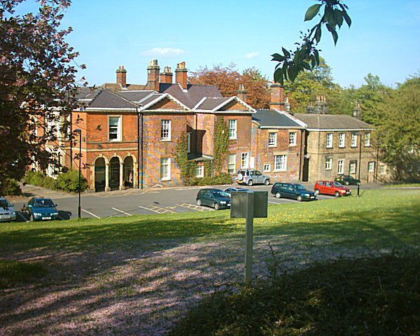
Meersbrook Park and Meersbrook House
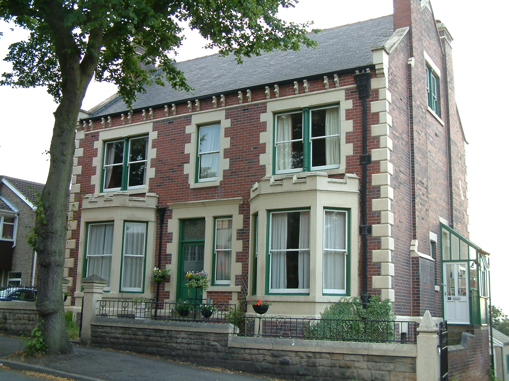
 Meersbrook House
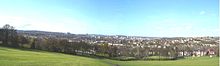
A large part of the Meersbrook area is taken up by Meersbrook Park. This park, set on a steep hillside, offers a stunning panoramic view over central Sheffield to the north. Within the park are two historic buildings: Bishops' House (c1500) is one of the oldest buildings in Sheffield and is open as a museum, and Meersbrook House. Meersbrook House was built in 1780 by Benjamin Roebuck. The property included walled kitchen garden and house's estate extended to Meers Brook. The house was the home of the Ruskin Museum until 1950. John Ruskin originally set up his museum as the Museum of St. George in 1871 at a small cottage in Walkley, but it was renamed and moved to Meersbrook House in 1890. The Ruskin collection can still be seen in Sheffield's Millennium Galleries. Although the area was still in Derbyshire the councillors in Sheffield were already looking over the border for amenity facilities for their citizens. In January 1885 Sheffield City Council bought both the house and the land as a public park or pleasure ground; the house is now a Grade II listed building.
Buildings of interest
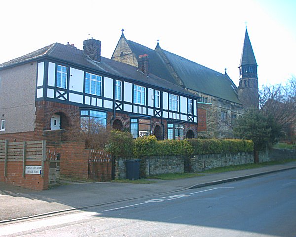
 St Paul's Church and Lees House's boundary wall
- Bishops' House, a half-timbered house, built circa 1500 lies at the south entrance to Meersbrook Park. The Blythes, operators of Blythe Wheel, lived in Bishops' House. Blythe Wheel was an undershot wheel situated where Rushdale Terrace is now. It was operated by the Blythe family and was first used to grind corn, and then as a sharpening grinding wheel.
- Cliffefield House was a large manor house directly to the south of Meersbrook House's walled garden. Along Cliffefield House was Smithy Wood which now is below Chesterfield Road. The house was situated between Derbyshire Lane, Cliffefield Road and Norton Lees Road.
- Lees House was a 22 room house situated between Norton Lees Road, Norton Lees Lane and Beverleys Road, on the opposite side of Norton Lees Road from Meersbrook Park. The house was built in the early 18th century. The only remnant of Lees House is the stone wall opposite St Paul's Church. The house was demolished and several detached houses built called Lees House Court.
Photos
-
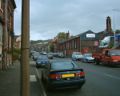
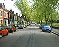
Valley Road in September 2004 with Hoyland Fox to the right
-
Upper Valley Road in June 2005
-
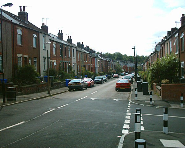
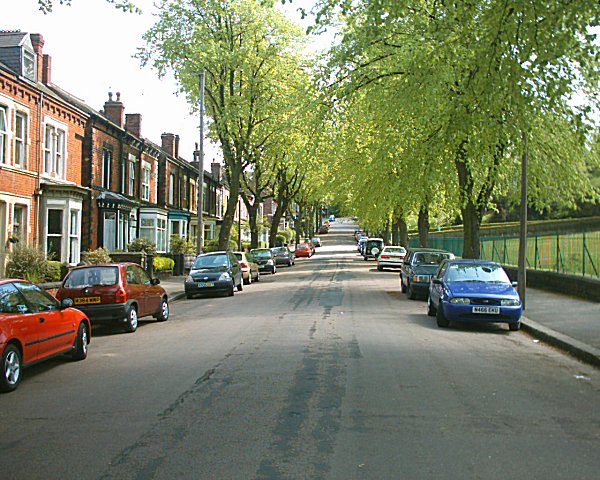
Meersbrook Park Road in May 2005, Meersbrook Park is to the right
-

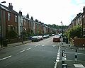
Upper Albert Road, July 2003
External links
Districts of Sheffield Abbeydale · Attercliffe · Batemoor · Beauchief · Beighton · Bradfield (High Bradfield · Low Bradfield) · Brightside · Burngreave · Carbrook · Chapeltown · Crookes · Crosspool · Darnall · Dore · Ecclesall · Ecclesfield · Fulwood · Gleadless · Greenhill · Grenoside · Halfway · Handsworth · Heeley · Hemsworth · Highfield · High Green · Hillsborough · Hyde Park · Longley · Lowfield · Loxley · Malin Bridge · Manor · Meersbrook · Middlewood · Millhouses · Mosborough · Neepsend · Nether Edge · Norton · Owlerton · Oughtibridge · Park Hill · Pitsmoor · Ranmoor · Ringinglow · Sharrow · Stocksbridge · Tinsley · Totley · Wadsley · Wadsley Bridge · Walkley · Wisewood · Woodseats · Woodhouse · Worrall
Categories:- Districts of Sheffield
- Villages formerly in Derbyshire


Wikimedia Foundation. 2010.