- Coltishall
-
Coordinates: 52°43′41″N 1°21′43″E / 52.7281°N 1.36189°E
Coltishall 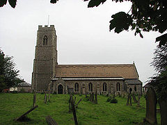
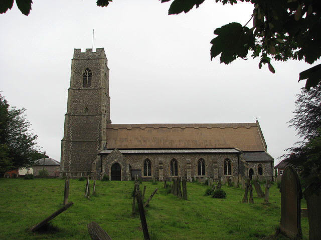
St John the Baptist, Coltishall
 Coltishall
Coltishall shown within NorfolkArea 7.27 km2 (2.81 sq mi) Population 1,405 - Density 193 /km2 (500 /sq mi) OS grid reference TG271197 Parish Coltishall District Broadland Shire county Norfolk Region East Country England Sovereign state United Kingdom Post town NORWICH Postcode district NR12 Police Norfolk Fire Norfolk Ambulance East of England EU Parliament East of England List of places: UK • England • Norfolk Coltishall is a village (population 1,405[1]) on the River Bure, west of Wroxham, in the English county of Norfolk,[2] within the Norfolk Broads.
Coltishall was a place of note even when the Domesday Book was compiled. For 250 years it was a centre of the malting industry. Many Norfolk wherries (trading ships) were built here.
Between 1779 and 1912, it was possible to navigate the River Bure all the way to Aylsham, but now the limit of navigation for powered craft is just south of Coltishall.[3]
The nearby RAF Coltishall played an important role during World War II, and afterwards, but was finally closed in December 2006. The site is now home to HMP Bure.
Horstead watermill on the Coltishall-Horstead river border was one of the most photographed mills in the county until it burned down in 1963.
References
- ^ Office for National Statistics & Norfolk County Council, 2001. "Census population and household counts for unparished urban areas and all parishes."
- ^ Ordnance Survey (2005). OS Explorer Map OL40 - The Broads. ISBN 0-319-23769-9.
- ^ The Canals of Eastern England, (1977), John Boyres and Ronald Russell, David and Charles, ISBN 978-0-71537-415-3
External links
Categories:- Broadland
- Villages in Norfolk
- Eco-towns
- Civil parishes in Norfolk
- Norfolk geography stubs

Wikimedia Foundation. 2010.