- Horsham St Faith and Newton St Faith
-
Coordinates: 52°41′14″N 1°16′42″E / 52.6872°N 1.2782°E
Horsham St Faith and Newton St Faith 
The ford on the River Hor in the village
 Horsham St Faith and Newton St Faith
Horsham St Faith and Newton St Faith shown within NorfolkArea 7.33 km2 (2.83 sq mi) Population 1,642 - Density 224 /km2 (580 /sq mi) OS grid reference TG216149 Parish Horsham St Faith and Newton St Faith District Broadland Shire county Norfolk Region East Country England Sovereign state United Kingdom Post town NORWICH Postcode district NR10 Police Norfolk Fire Norfolk Ambulance East of England EU Parliament East of England List of places: UK • England • Norfolk Horsham St Faith and Newton St Faith is a civil parish in the English county of Norfolk, consisting of the former parishes of Horsham St Faith and Newton St Faith. Collectively they are known as St Faiths. It covers an area of 7.33 km2 (2.83 sq mi) and had a population of 1,624 in 770 households as of the 2001 census.[1] For the purposes of local government, it falls within the district of Broadland.
Contents
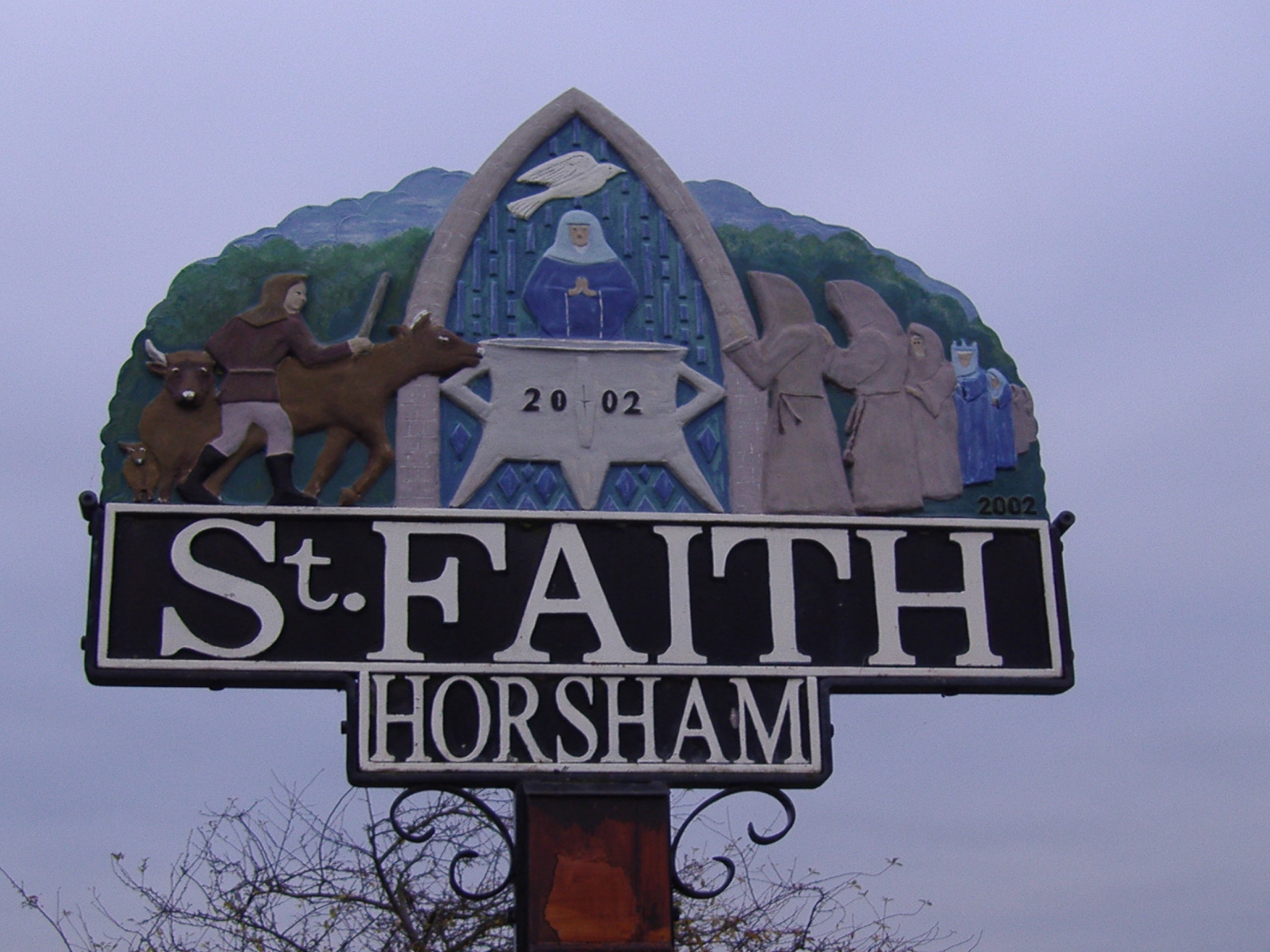
Horsham St. Faith
 The village sign
The village takes its name from the River Hor, which flows through the parish on its course from Horsford to Horstead; and a Benedictine priory, founded in honour of St. Faith that, until the dissolution of the monasteries, stood there.[2]
Norwich International Airport, which was first developed in 1939 as RAF Horsham St. Faith is close by.[3]
The village is home to the City of Norwich Aviation Museum.
The remains of a motte and bailey castle, on the Horsford side of the A140, can reached by following a track to the north of Church Street, which joins Horsford and Horsham St. Faith.
On the 17th October in the early 12th century until 1872 it played host to one of the country's largest cattle fairs. This fair was held to the south of Spixworth Road around Bullock Hill and Calf Lane.[4]
At the beginning of the 20th century, the Manor House and the land that in 1939 became RAF Horsham St. Faith, was owned by John Thomas Spurrell, youngest son of Richard James Spurrell, of Thurgarton. Inside the church at Horsham St. Faith there is a memorial to his eldest son, John Francis Brabazon Spurrell, who was killed by buffalo at Kibaya, Tanganyika, in 1927.
The Church of St Mary and St Andrew
 The church of St Mary and St Andrew
The present day church dates back to the 13th century and has undergone many changes. Much of the building was restored in 1873 with a £1400 donation from the Twinings tea family. Of interest inside the church is the rood screen dated 1528 and adorned with 12 panels depicting saints. Also, of note is the elaborate Jacobean font cover.[5]
Amenities
Amenities in the locality include a community centre, primary school, doctor's surgery, two post offices– one serving each village, restaurant, and a small industrial eastate. The village had two public houses; the Kings Head[6] and the Black Swan. The former ceased trading in 2009.[7] Located in Manor Road, the St Faith crematorium was established in 1937. The large chapel by J P Chaplin was completed in 1936 and finished in red and mauve brick.[8] Prior to this, the site was occupied by a Poor Law Union workhouse which was destroyed by fire in 1923.[9]
Notable residents
- St. Robert Southwell - Jesuit priest, poet and martyr.
Newton St Faith
 The Newton St Faith village sign
The village of Newton St. Faith lies approximately 1 mile (1.6 km) north of Horsham St. Faith. Much of the parish is given over to agriculture. Residential development is concentrated along Newton Street. Amenities in the village include a post office.
Public transport
Bus
Services through and close to the villages are provided by First Eastern Counties, Norfolk Green and Sanders[10] connecting the parish to surrounding towns, villages and further afield.
Gallery
-

The Kings Head public house (Closed 2009)
-

The Black Swan public house
-

The chapel at St Faith crematorium
-

The thatched roof bus shelter
Further reading
- Horsham and Newton St Faith (Towns and Villages)
- The Priory of Horsham St Faith
- Drayton and St Faith Medical Practice history.
- Information on the Parish Church of St Mary and St Andrew Horsham St Faith
Notes
- ^ Census population and household counts for unparished urban areas and all parishes. Office for National Statistics & Norfolk County Council (2001). Retrieved 20 June 2009.
- ^ Priory history Retrieved 30 March. 2010
- ^ RAF Horsham St Faith Retrieved 18 December 2008
- ^ The cattle fairs Retrieved 04 March, 2010
- ^ Norfolk churches Retrieved 18 March 2010
- ^ Norfolk pubs Retrieved 22 March 2010
- ^ st faiths village website The village website Retrieved 22 March 2010
- ^ Pevsner, Nikolaus; Pevsner and Wilson (1997). Buildings of England: Norfolk 1: Norwich and North-East. Penguin. p. 568. ISBN 0300096070. Retrieved 26 March 2010
- ^ Horsham and Newton St Faith Retrieved 23 March 2010
- ^ Sanders coaches Retrieved 27 March 2010
External links
- St Faith Village Website
- Information on the Parish Church of St Mary and St Andrew Horsham St Faith
- Horsham St Faith watermill
- Geograph images
Categories:- Broadland
- Villages in Norfolk
- Civil parishes in Norfolk


Wikimedia Foundation. 2010.