- Meshchansky District
-
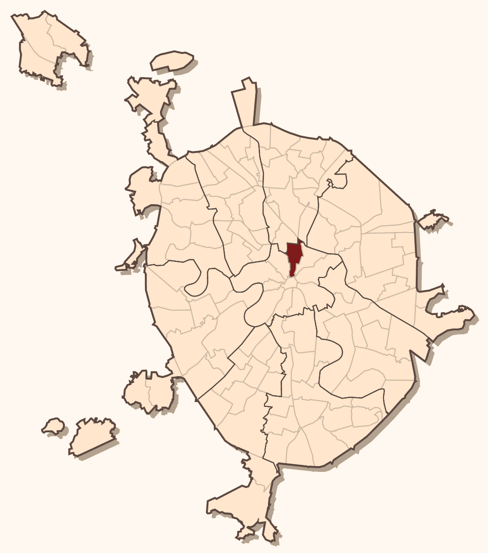
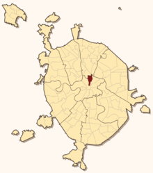 Meshchansky District on the map of Moscow
 Coat of arms of Meshchansky District
Meschansky District (Russian: Мещанский район) is a district of Central Administrative Okrug of Moscow, Russia. Population: 58,117 (2010 Census preliminary results);[1] 56,077 (2002 Census).[2]
The district extends due north from Kitai-gorod to Kamer-Kollezhsky Val. Western boundary with Tverskoy District follows the track of Neglinnaya River (Neglinnaya Street, Tsvetnoy Boulevard, Samotechnaya Street, Soviet Army Street). Eastern boundary with Krasnoselsky District follows Bolshaya Lubyanka Street and Sretenka Street, then one block east from Prospekt Mira.
The district contains part of Kuznetsky Most Street, Rozhdestvensky monastery and Rozhdestvensky Boulevard, Olympic Stadium and a row of neoclassical, palace-like buildings north from the Garden Ring. It houses headquarters of Federal Security Service in Lubyanka Square, Central Bank of the Russian Federation, FAPSI and other government agencies.
Contents
Etymology
Meshchane in the Russian Empire denoted a social estate of poor town residents who did not qualify as merchants or civil servants; in modern Russian, it is a pejorative name for a narrow-minded philistine. Meschansky District acquired its name earlier, in the second half of 17th century, through the Ukrainians and Belarusians abducted from their hometowns in the course of Russo-Polish War (1654–1667). These people settled north from present-day Garden Ring, reaching 692 households by 1682 (Sytin, p.296). In their languages, meshchane meant simply "town people", "the locals", without negative connotation; the name of Meshchanskaya sloboda persists to date.
Symbols on the coat of arms denote:
- Golden horn of plenty - the Central Bank
- Red bridge - Kuznetsky Most
- The cannon - old Moscow Armoury (пушечный двор) in present-day Pushechnaya Street
Gallery
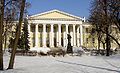
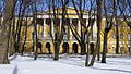
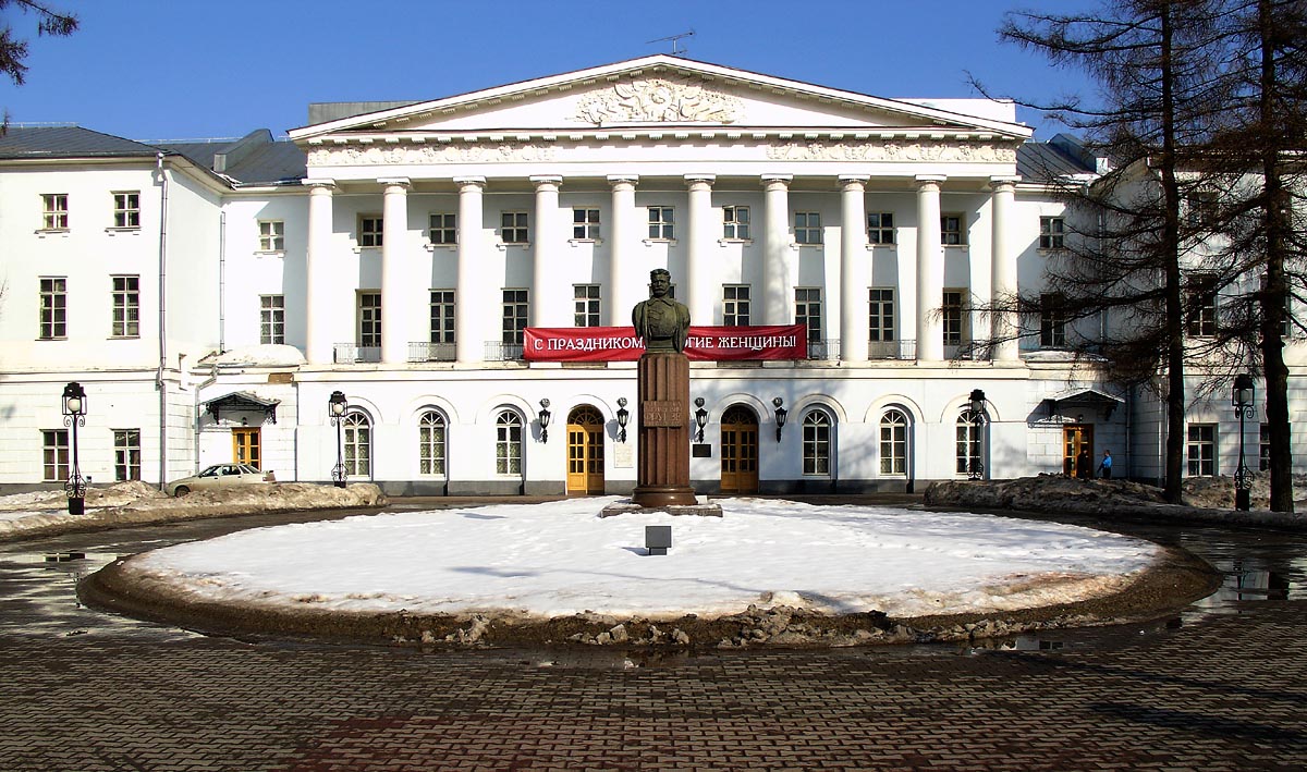
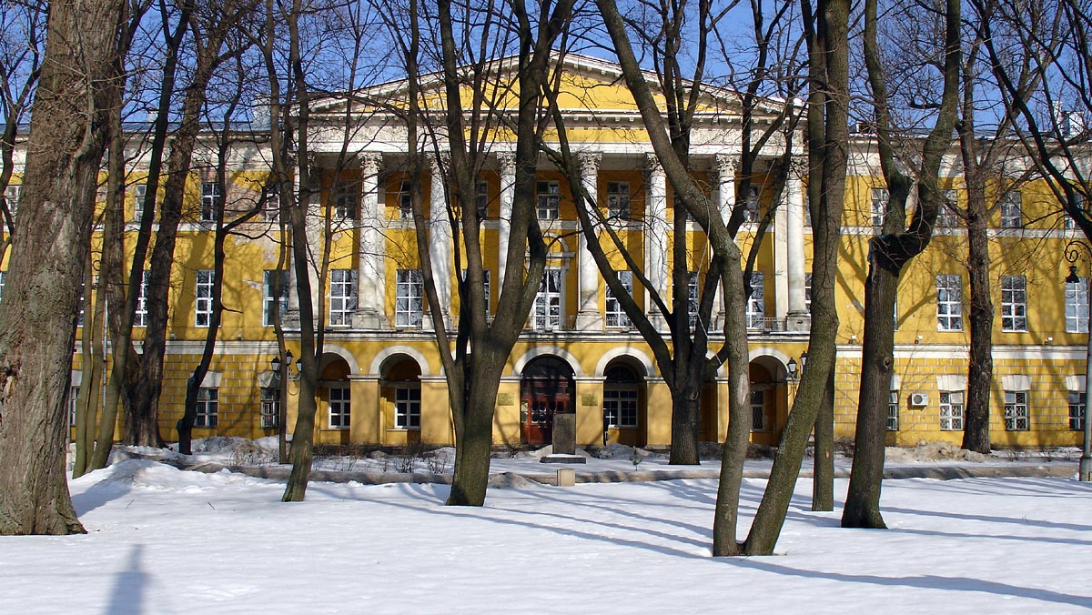
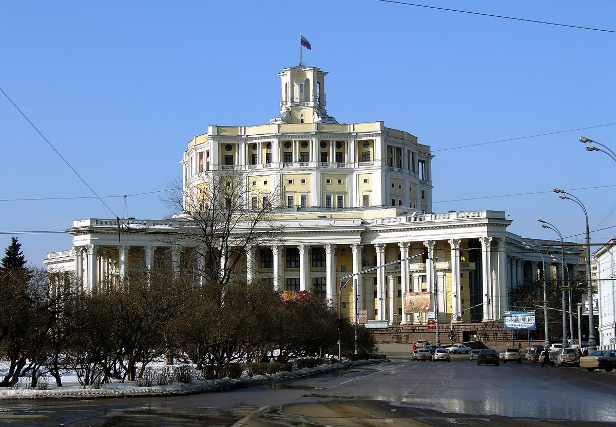
North from Garden Ring: four historical buildings in a row are divided between Meshchansky and Maryina Roshcha District
-

Catherine's Institute, present-day House of Culture of Russian Army
-
Mariinsky Hospital, birthplace of Fyodor Dostoyevsky, and 1918 monument to Dostoyevsky
-
Alexander's Institute, also a public hospital
-
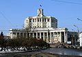
Russian Army Theater
References
Notes
- ^ Федеральная служба государственной статистики (Federal State Statistics Service) (2011). "Предварительные итоги Всероссийской переписи населения 2010 года (Preliminary results of the 2010 All-Russian Population Census)" (in Russian). Всероссийская перепись населения 2010 года (All-Russia Population Census of 2010). Federal State Statistics Service. http://www.perepis-2010.ru/results_of_the_census/results-inform.php. Retrieved 2011-04-25.
- ^ Федеральная служба государственной статистики (Federal State Statistics Service) (2004-05-21). "Численность населения России, субъектов Российской Федерации в составе федеральных округов, районов, городских поселений, сельских населённых пунктов – районных центров и сельских населённых пунктов с населением 3 тысячи и более человек (Population of Russia, its federal districts, federal subjects, districts, urban localities, rural localities—administrative centers, and rural localities with population of over 3,000)" (in Russian). Всероссийская перепись населения 2002 года (All-Russia Population Census of 2002). Federal State Statistics Service. http://www.perepis2002.ru/ct/doc/1_TOM_01_04.xls. Retrieved 2010-03-23.
Sources
- П. В. Сытин, "Из истории московских улиц", М. 1948
- City law on district boundaries, current version [1]
- Year of Dostoyevsky's monument referenced to: "Архитектура РСФСР за XXX лет", М, 1949
External links
- Official website of Meshchansky District (Russian)
Administrative divisions of Moscow Zelenogradsky Administrative Okrug - Matushkino
- Savyolki
- Staroye Kryukovo
- Silino
- Kryukovo
Northern Administrative Okrug - Aeroport
- Begovoy
- Beskudnikovsky
- Dmitrovsky
- Golovinsky
- Khoroshyovsky
- Khovrino
- Koptevo
- Levoberezhny
- Molzhaninovsky
- Savyolovsky
- Sokol
- Timiryazevsky
- Vostochnoye Degunino
- Voykovsky
- Zapadnoye Degunino
North-Eastern Administrative Okrug - Alexeyevsky
- Altufyevsky
- Babushkinsky
- Bibirevo
- Butyrsky
- Lianozovo
- Losinoostrovsky
- Marfino
- Maryina roshcha
- Ostankinsky
- Otradnoye
- Rostokino
- Severnoye Medvedkovo
- Severny
- Sviblovo
- Yaroslavsky
- Yuzhnoye Medvedkovo
North-Western Administrative Okrug Central Administrative Okrug Eastern Administrative Okrug - Bogorodskoye
- Golyanovo
- Ivanovskoye
- Izmaylovo
- Kosino-Ukhtomsky
- Metrogorodok
- Novogireyevo
- Novokosino
- Perovo
- Preobrazhenskoye
- Severnoye Izmaylovo
- Sokolinaya gora
- Sokolniki
- Veshnyaki
- Vostochnoye Izmaylovo
- Vostochny
Western Administrative Okrug - Dorogomilovo
- Filyovsky park
- Fili-Davydkovo
- Krylatskoye
- Kuntsevo
- Mozhaysky
- Novo-Peredelkino
- Ochakovo-Matveyevskoye
- Prospekt Vernadskogo
- Ramenki
- Solntsevo
- Troparyovo-Nikulino
- Vnukovo
Southern Administrative Okrug - Biryulyovo Vostochnoye
- Biryulyovo Zapadnoye
- Brateyevo
- Chertanovo Severnoye
- Chertanovo Tsentralnoye
- Chertanovo Yuzhnoye
- Danilovsky
- Donskoy
- Moskvorechye-Saburovo
- Nagatino-Sadovniki
- Nagatinsky Zaton
- Nagorny
- Orekhovo-Borisovo Severnoye
- Orekhovo-Borisovo Yuzhnoye
- Tsaritsyno
- Zyablikovo
South-Eastern Administrative Okrug - Kapotnya
- Kuzminki
- Lefortovo
- Lyublino
- Maryino
- Nekrasovka
- Nizhegorodsky
- Pechatniki
- Ryazansky
- Tekstilshchiki
- Vykhino-Zhulebino
- Yuzhnoportovy
South-Western Administrative Okrug - Akademichesky
- Cheryomushki
- Gagarinsky
- Konkovo
- Kotlovka
- Lomonosovsky
- Obruchevsky
- Severnoye Butovo
- Tyoply Stan
- Yasenevo
- Yuzhnoye Butovo
- Zyuzino

Wikimedia Foundation. 2010.