- Greenford
-
Coordinates: 51°31′48″N 0°21′46″W / 51.5299°N 0.3628°W
Greenford 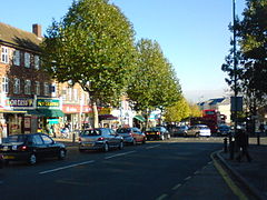
Ruislip Road in Greenford
 Greenford
Greenford shown within Greater LondonOS grid reference TQ135825 London borough Ealing Ceremonial county Greater London Region London Country England Sovereign state United Kingdom Post town GREENFORD Postcode district UB6 Dialling code 020 Police Metropolitan Fire London Ambulance London EU Parliament London UK Parliament Ealing North London Assembly Ealing and Hillingdon List of places: UK • England • London Greenford is a large suburb in the London Borough of Ealing in west London, UK. It was historically an ancient parish in the former county of Middlesex. The most prominent landmarks in the suburb are the A40, a major dual-carriageway; Horsenden Hill, 85 metres (279 ft) above sea level; the small Parish Church of Holy Cross (14th century); and Betham House, built by Edward Betham (c. 1780). The Greenford post town covers a very large area.
Contents
Toponymy
The name is first recorded in 848 as Grenan forda. It is formed from the Old English 'grēne' and 'ford' and means 'place at the green ford'. Greenford was known as Great Greenford in order to distinguish it from Little Greenford, which is now known as Perivale. The affixes 'Magna' and 'Parva' have also been used to denote the difference.[1]
History
Industrial
Greenford is considered to be birthplace of the modern organic chemical industry, as it was at William Perkin's chemical factory in North Greenford, by the Grand Union Canal, that the world's first aniline dye was discovered in March 1856. Perkin called his amazing discovery 'mauveine'. Today there is a blue plaque marking the spot in Oldfield Lane North, just south of the Black Horse Public House. Greenford is home to the Hovis factory. The former Rockware glassworks on the canal is commemorated by Rockware Avenue. Greenford formed part of Greenford Urban District from 1894 to 1926 and was then absorbed by the Municipal Borough of Ealing.
Art and culture
Five hundred yards north east from William Perkin's dye factory was a triangular field in which he kept horses. On this ground was built the Oldfield Tavern public house, which became a popular venue for a rock group called the Detours, who met a drummer there called Keith Moon. On Thursday 20 February 1964 they were introduced to the audience of the Oldfield Tavern as The Who.[2][3] (The Tavern has not survived, however, and has since been replaced by a small block of flats and a Texaco petrol station.)
Expansion
Greenford (parish) population 1881 538 1891 545 1901 672 1911 843 1921 1,199 Absorbed by Ealing parish ► source: UK census Education
Transport
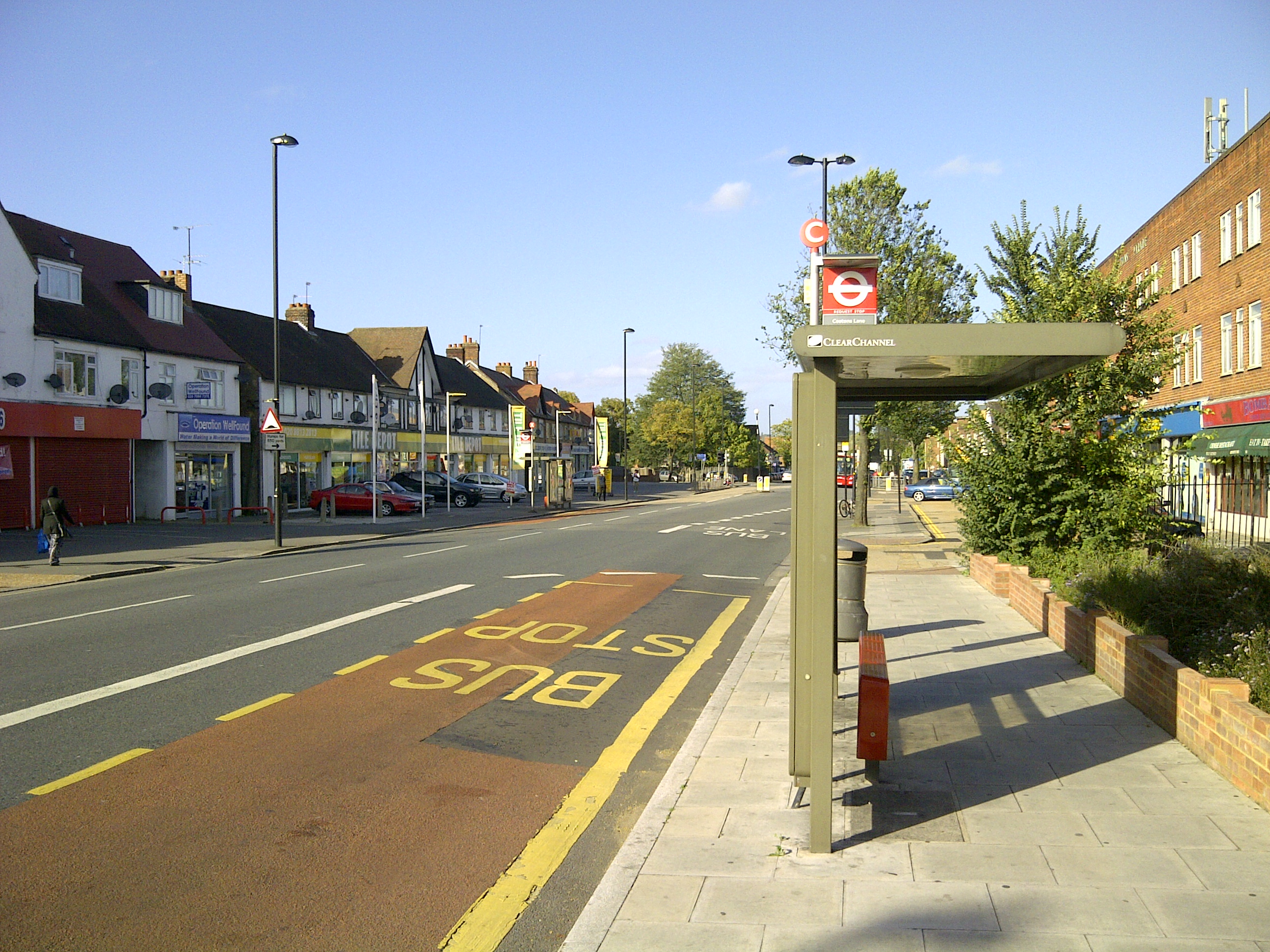
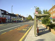 Bus stop in Greenford Road
Tube
Greenford station, on the Central line.
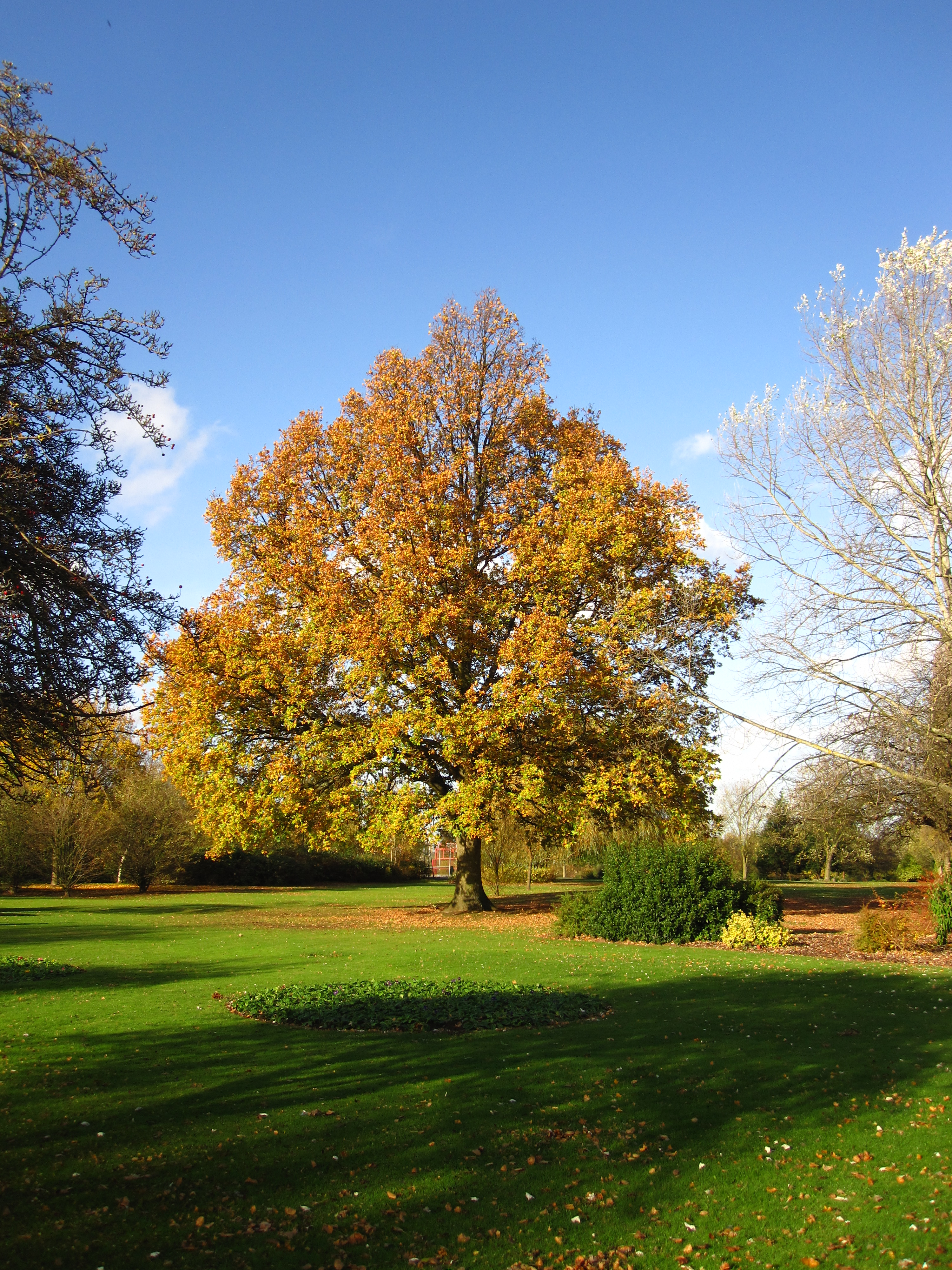
 Ravenor Park in Greenford
Rail
Greenford station, on the First Great Western.
South Greenford station, on the First Great Western.
Buses
Greenford has the following bus routes travelling through it: 92, 95, 282, E1, E3, E5, E6, E7, E9 and E10.
Recreation
The grounds of the former Ravenor Farm has become Greenford's largest park. It is the venue for the annual Greenford Carnival, which is held every July.[4]
Until 1910, the land that formed Ravenor Farm / Ravenor Park was a detached part of Northolt parish, with the tithes to the land going to St. Mary's Church, Northolt and not the Greenford parish of Holy Cross.
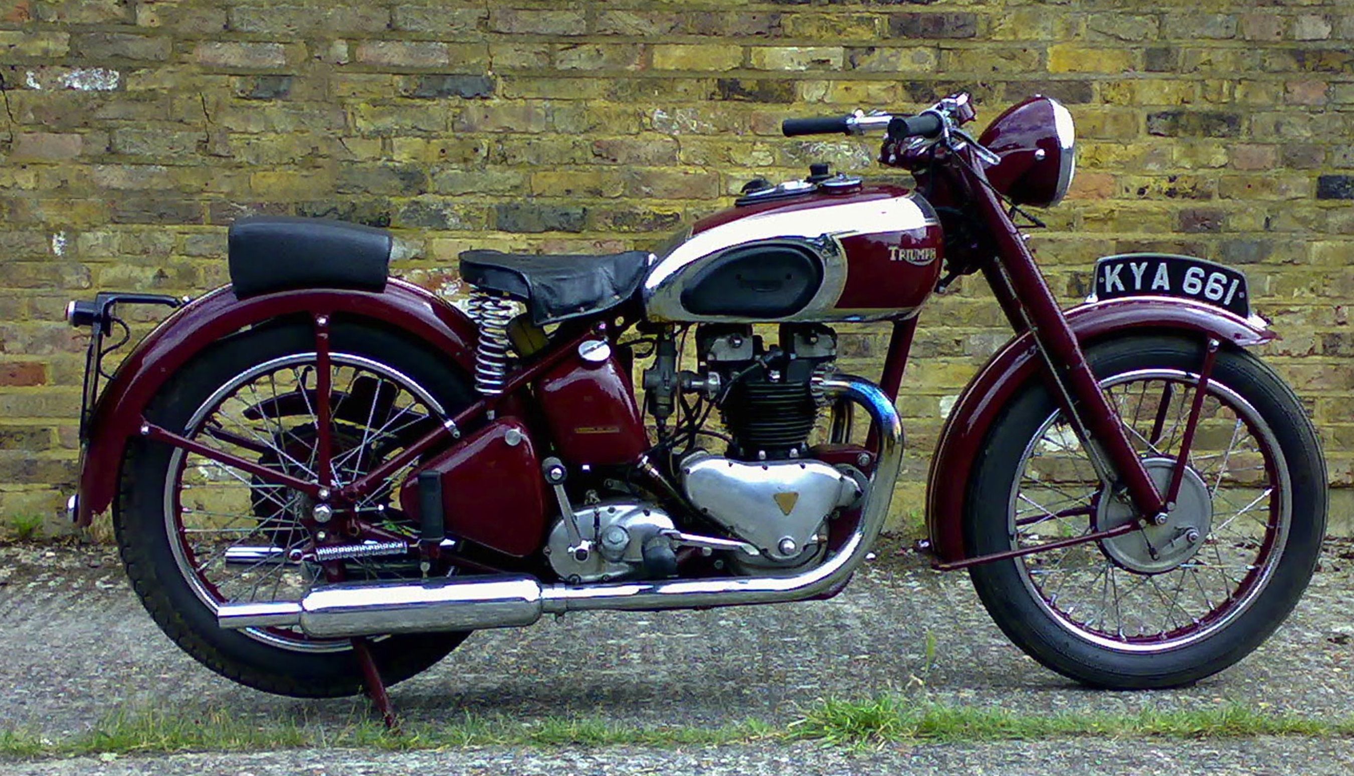
The former Ravenor Farm buildings in Oldfield Lane South are now home to the London Motorcycle Museum.
Sport
The trotting track at Greenford was a pioneer speedway venue and open meetings were staged 1928–1930[citation needed]. The track would be called a long track now, as it was of the order of half a mile/800 metres per lap. The trotting park was situated on what is now Birkbeck Avenue, just north of the A40 Western Avenue.
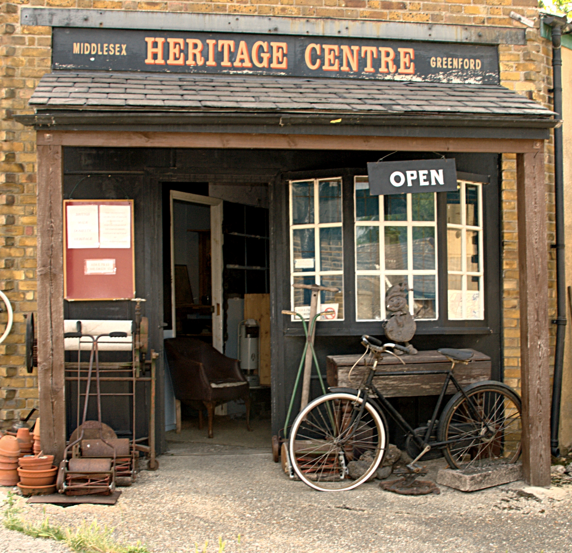
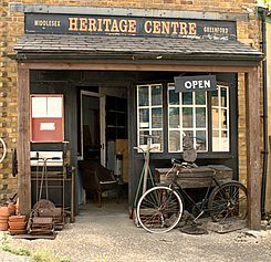 Heritage Centre
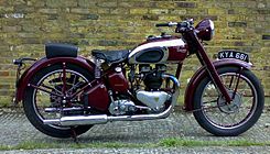 London Motorcycle Museum
Places to visit. Places of interest
The Heritage Centre: a cornucopia of British-made domestic paraphernalia of 20th century is on display - a variety of household items that were commonly found in British homes and gardens in the past.[5]
The London Motorcycle Museum is housed in the row of converted milking sheds in front of the Heritage Centre.
Economy
Significant local businesses include: British Bakeries, IBM, GlaxoSmithKline (GSK, pharmaceutical research and development), Panavision, Panalux, P&O (Distribution Centre) and Royal Mail (Regional distribution centre). KBR has an office in Greenford.[6]
Political representation
Greenford is part of the Ealing North UK parliamentary constituency, represented since 1997 by Labour MP Stephen Pound.
Greenford is made up of three and a half electoral wards for local council elections: Greenford Broadway, Greenford Green, North Greenford and half of the Lady Margaret ward, which is situated on the south side of Greenford Broadway. These wards all elect councillors to Ealing Council. Ealing Council is currently run by a Labour administration.
Political status of Ealing Council:
- Labour: 40 seats
- Conservatives: 24 seats
- Liberal Democrats: 5 seats
Greenford is in the London Assembly constituency of Ealing and Hillingdon which has one assembly member: Richard Barnes (Conservative), who was re-elected in May 2008.
Nearest places
Neighbouring areas of Greenford 
Northolt Sudbury Hill Sudbury & Perivale Yeading 
Perivale  Greenford

Southall Dormers Wells Hanwell Notable people
- Sculptor C.J. Allen (1862-1956), a figure in the New Sculpture movement, was born in Greenford
- Tennis player Blanche Bingley (1863-1946), six times women's singles champion at Wimbledon, was born in Greenford
- Comedian Freddie Frinton (1909-1968), who remains a household name in Germany and Scandinavia, lived in Greenford
- Jack Good, pioneering music TV producer with links to artists including The Beatles and The Monkees, was born in Greenford
- Nineteenth-century actor Charles Kean (1811-1868) grew up partly in Greenford
- Singing sisters The Nolans attended the Cardinal Wiseman School in Greenford
- Drummer Doug Sandom, Keith Moon's predecessor in rock band The Who, lives in Greenford
- Lieutenant General Sir William Thornton (1779-1840), a leader of the Light Brigade, lived in Greenford
References
- ^ Mills, D. (2000). Oxford Dictionary of London Place Names. Oxford.
- ^ Joe McMichael, Jack Lyons (2004) The Who Concert File. Omnibus Press. ISBN 1844490092. Accessed 2010-06-25
- ^ John Atkins (2000) The Who on record: a critical history, 1963-1998 McFarland, ISBN 0 7864 0609 7
- ^ Ealing Council Greenford Carnival.
- ^ Ealing Gazette (2008-09-19) http://www.ealinggazette.co.uk/lifestyle-ealing/listings-ealing/2008/09/19/what-s-on-at-greenford-64767-21857258/ What's on at Greenford.
- ^ "Locations." KBR. Retrieved on 13 January 2008.
External links
Section 8: Capital Ring Walking Route Section 9: Osterley Lock Greenford South Kenton Categories:- Districts of London
- Districts of Ealing
- Chemical industry in London
- Districts of London listed in the Domesday Book
- Capital Ring


Wikimedia Foundation. 2010.