- Marham
-
Coordinates: 52°39′39″N 0°31′32″E / 52.66078°N 0.52550°E
Marham 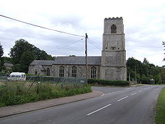
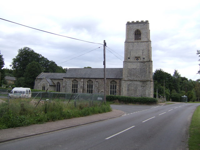
Holy Trinity church, Marham
 Marham
Marham shown within NorfolkArea 14.85 km2 (5.73 sq mi) Population 2,951 - Density 199 /km2 (520 /sq mi) OS grid reference TF 709 100 Parish Marham District King's Lynn and West Norfolk Shire county Norfolk Region East Country England Sovereign state United Kingdom Post town KING'S LYNN Postcode district PE33 Police Norfolk Fire Norfolk Ambulance East of England EU Parliament East of England List of places: UK • England • Norfolk Marham is a village and civil parish in the English county of Norfolk. An RAF station, RAF Marham, is situated nearby at Upper Marham.[1] The village covers an area of 14.85 km2 (5.73 sq mi) and had a population of 2,951 in 788 households as of the 2001 census.[2] For the purposes of local government, it falls within the district of King's Lynn and West Norfolk.
Notes
- ^ Ordnance Survey (1999). OS Explorer Map 236 - King's Lynn, Downham Market & Swaffham. ISBN 0-319-21867-8.
- ^ Census population and household counts for unparished urban areas and all parishes. Office for National Statistics & Norfolk County Council (2001). Retrieved 20 June 2009.
External links
- Map sources for Marham
- Information from Genuki Norfolk on Marham.
Categories:- Villages in Norfolk
- King's Lynn and West Norfolk
- Civil parishes in Norfolk
- Norfolk geography stubs

Wikimedia Foundation. 2010.