- North Wootton, Norfolk
-
Coordinates: 52°46′59″N 0°25′59″E / 52.783°N 0.433°E
North Wootton 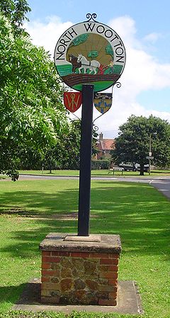
Signpost in North Wootton
 North Wootton
North Wootton shown within NorfolkArea 32.33 km2 (12.48 sq mi) Population 2,387 - Density 74 /km2 (190 /sq mi) OS grid reference TF641233 Parish North Wootton, Norfolk District King's Lynn and West Norfolk Shire county Norfolk Region East Country England Sovereign state United Kingdom Post town KING'S LYNN Postcode district PE30 Police Norfolk Fire Norfolk Ambulance East of England EU Parliament East of England List of places: UK • England • Norfolk North Wootton is a village near the town of King's Lynn in Norfolk, England, and remains a separate civil parish. It covers an area of 32.33 km2 (12.48 sq mi) and had a population of 2,387 in 935 households as of the 2001 census.[1] For the purposes of local government, it falls within the district of King's Lynn and West Norfolk.
It is close to the Norfolk coast and is slightly smaller than the nearby South Wootton. North Wootton is near the village of Castle Rising which has connections to royalty.[citation needed] Former marshland, drained by the Dutch[citation needed] links the village to the coast. Predominantly a farming village, the village is now experiencing a period of growth owing to new developments, holiday retreats for Londoners being the most recent of these.
The old part is located around the small village green consisting of a few houses, an old schoolhouse and a former post office (now closed).
With the arrival of the railway, a station (now disused) was built in the west of the village towards the marsh. The railway linked King's Lynn with Hunstanton. The old station waiting room is still extant though now part of a private house. The signal box was used by the local scout group for many years, but has now been removed for future use on a heritage railway outside the local area. The station would have been familiar to the Royal family being only 2.8 miles (4.5 km) away across the River Babingley from Wolferton station which served the nearby Sandringham Estate.
The old Red Cat Hotel still stands and is run by the Irwin family. Open to the public and locals mainly in the evenings.
West Norfolk Rugby Club is based here. There are also some very good rugby teams of different ages. There is only one school, North Wootton Primary School, Headteacher Mr J. Williams. All Saints Church, part of the Anglican Benefice of the Church in the Woottons is led by the Rector, the Revd. James Nash. Information about the Church can be found at Church Website
Notes
- ^ Census population and household counts for unparished urban areas and all parishes. Office for National Statistics & Norfolk County Council (2001). Retrieved 20 June 2009.
External links
 Media related to North Wootton, Norfolk at Wikimedia CommonsCategories:
- Villages in Norfolk
- King's Lynn and West Norfolk
- Civil parishes in Norfolk
- Norfolk geography stubs


Wikimedia Foundation. 2010.