- North Creake
-
Coordinates: 52°54′30″N 0°45′15″E / 52.90837°N 0.75406°E
North Creake 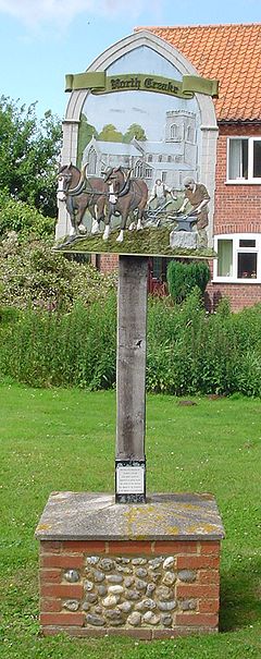
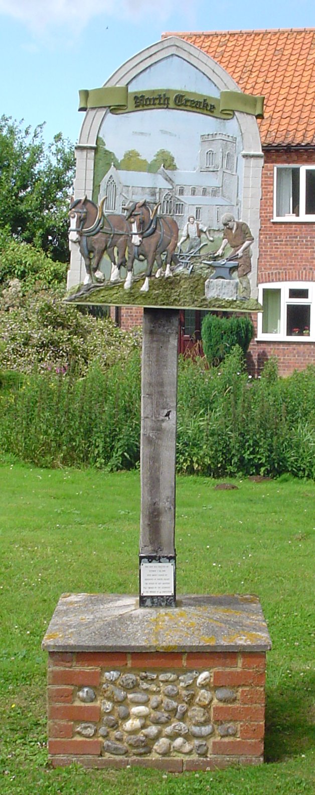
Signpost in North Creake
 North Creake
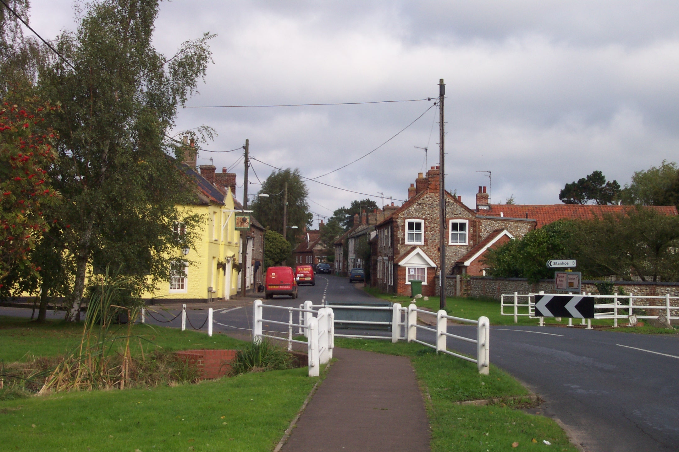
North Creake shown within NorfolkArea 14.99 km2 (5.79 sq mi) Population 414 - Density 28 /km2 (73 /sq mi) OS grid reference TF853381 Parish North Creake District King's Lynn and West Norfolk Shire county Norfolk Region East Country England Sovereign state United Kingdom Post town FAKENHAM Postcode district NR21 Police Norfolk Fire Norfolk Ambulance East of England EU Parliament East of England List of places: UK • England • Norfolk North Creake is a village and civil parish in the north west of the English county of Norfolk. It covers an area of 14.99 km2 (5.79 sq mi) and had a population of 414 in 184 households as of the 2001 census.[1] For the purposes of local government, it falls within the district of King's Lynn and West Norfolk. The parish shares boundaries with the adjacent parishes of Burnham Market, Burnham Thorpe, Holkham, Walsingham, South Creake, Barwick and Stanhoe.[2]
 The village centre and Jolly Farmers pub
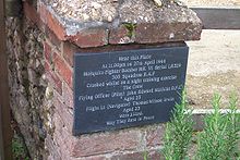 Plaque on the site of the air crash
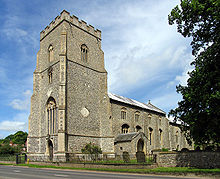 St Mary's Church
The village lies 3 miles (4.8 km) south of Burnham Market and about 5 miles (8.0 km) from the north Norfolk coast. 1 mile (1.6 km) further south is the twin village of South Creake.[3]
The village lies on the River Burn, which flows through the centre of the village. 1 mile (1.6 km) to the north of the village along the river lies the ruined Creake Abbey. The village itself musters a church, a public house, and a post office. Most of the agricultural land surrounding the village, and many of the village houses, today belong to the estate of the Earl Spencer, who consequently has significant influence on village matters, although his family seat is many miles away in Althorp, Northamptonshire.
On April 27, 1944, a De Havilland Mosquito fighter bomber, on a night training exercise, crashed in the centre of the village killing the crew of two. On the 60th anniversary of the crash in 2004, a plaque on the approximate location of the crash was unveiled by an Royal Air Force guard of honour and other dignitaries, including relatives and friends of those killed.
See also
- RAF North Creake Second World War airfield
Notes
- ^ Census population and household counts for unparished urban areas and all parishes. Office for National Statistics & Norfolk County Council (2001). Retrieved 20 June 2009.
- ^ "Election Maps". Ordnance Survey. http://www.election-maps.co.uk/. Retrieved 2008-03-03.
- ^ Ordnance Survey (2002). OS Explorer Map 251 - Norfolk Coast Central. ISBN 0-319-21887-2.
External links
- Map sources for North Creake
- Photographs of North & South Creake
- Norfolkcoast.co.uk on North Creake.
- Information from Genuki Norfolk on North Creake.
Categories:- Villages in Norfolk
- King's Lynn and West Norfolk
- Civil parishes in Norfolk
- Norfolk geography stubs


Wikimedia Foundation. 2010.