- Djouce
-
Djouce Dioghais 
Northern slope of DjouceElevation 725 m (2,379 ft) Listing Marilyn, Hewitt Translation Fortified height (Irish) Location Location Wicklow,  Ireland
Range Wicklow Mountains Coordinates 53°07′51″N 6°14′26″W / 53.13083°N 6.24056°W Topo map OSi Discovery 56 OSI/OSNI grid O178103 Climbing Easiest route Wicklow Way, from south or east Djouce (Irish: Dioghais, meaning "fortified height"), sometimes referred to as Djouce Mountain, is a mountain situated in the northeastern section of the Wicklow Mountains. To the west it overlooks the highlands around the Sally Gap; to the east the Roundwood / Calary Bog plateau.
The River Dargle rises on its northern flank, close to the source of the River Liffey in the Featherbeds; they rise either side of the catchment boundary, the Liffey flowing west and the Dargle flowing east. Powerscourt Waterfall, the highest waterfall in Ireland, lies on its eastern slope.
Djouce also overlooks the corrie lake of Lough Tay to the southwest. It is bounded to the west by the R115; to the south by the R759 and to the west by the R755.
Its southern and eastern flanks are heavily forested, up to and above the 2,000 feet contour, mainly with Sitka spruce plantations. As these trees are clearfelled (when they mature) a policy of the reinstatement of native tree species is being pursued, either through planting or natural regeneration.
The southern 'shoulder' of Djouce is known as White Hill.
Gallery
-
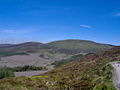
Western slope
-
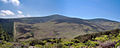
Djouce
-

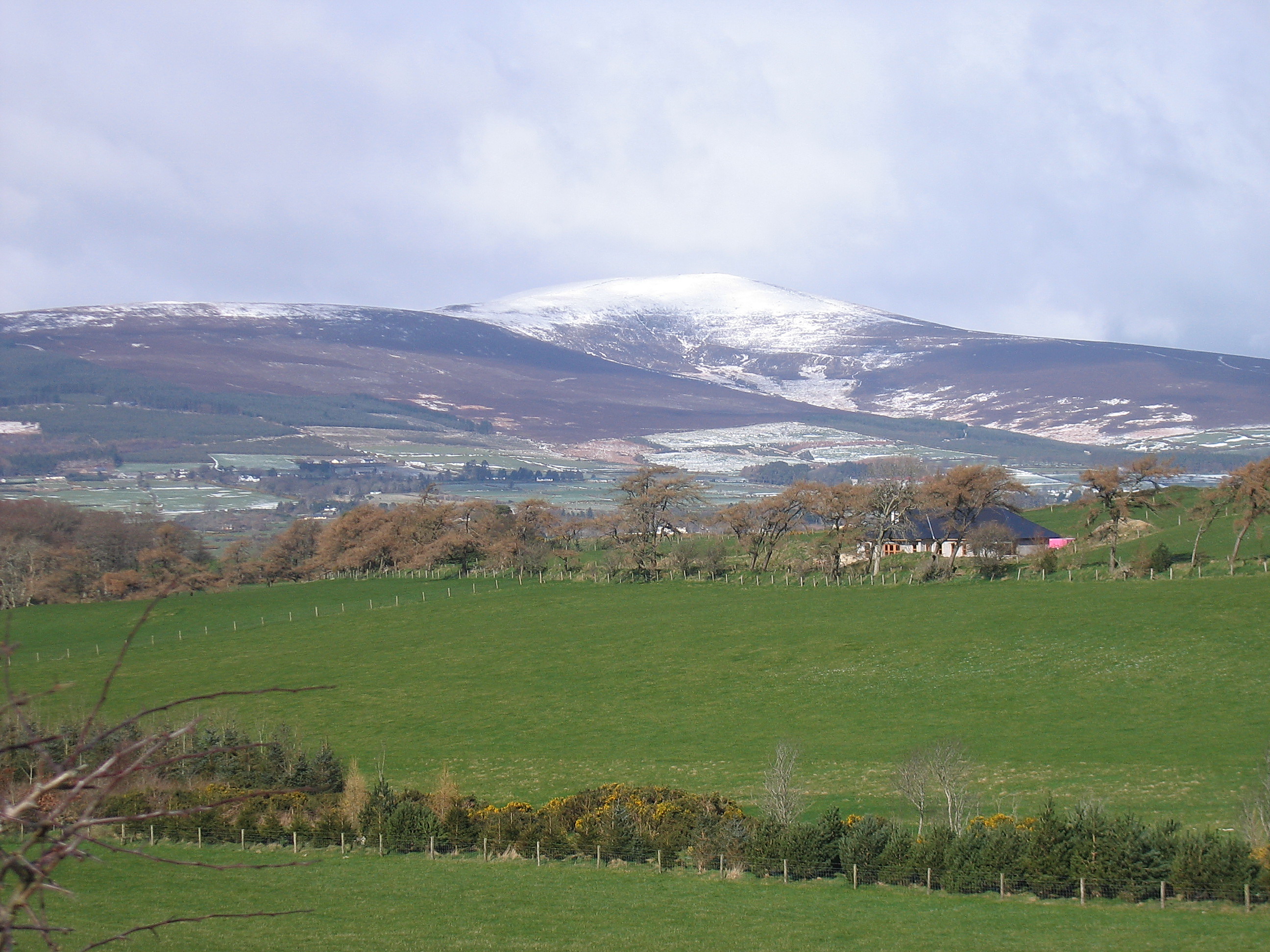
White Hill
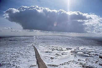
 Southern slope of Djouce, May 2006
See also
External links
Categories:- Marilyns of Ireland
- Mountains and hills of County Wicklow
- Hewitts of Ireland
-


Wikimedia Foundation. 2010.