- Charleville Airport
-
Charleville Airport 
IATA: CTL – ICAO: YBCV 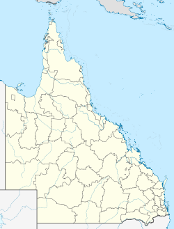
 Charleville
AirportCharleville
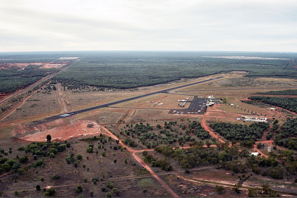
Airport (Queensland)Summary Airport type Public Operator Government Location Charleville, Queensland, Australia Elevation AMSL 1,003 ft / 306 m Coordinates 26°24′48″S 146°15′45″E / 26.41333°S 146.2625°E Runways Direction Length Surface ft m 12/30 5,000 1,524 Asphalt 18/36 3,501 1,067 Asphalt Source: DAFIF[1][2] Charleville Airport (IATA: CTL, ICAO: YBCV) is an airport in Charleville, a town in the state of Queensland in Australia.
Contents
Airlines and destinations
Airlines Destinations Qantas operated by QantasLink Brisbane, Roma Skytrans Airlines Bedourie, Birdsville, Boulia, Brisbane, Mount Isa, Quilpie, Toowoomba, Windorah History
During World War II, the United States Army Air Force 63d Bombardment Squadron, assigned to the Fifth Air Force 43d Bombardment Group, flew B-17 Flying Fortresses from the airfield between 15 June-3 August 1942.[3]
Other USAAF units assigned to Charleville were the 8th and 480th Service Squadron of the 45th Service Group.[4]
Charleville was also the western terminus of the Air Transport Command Pacific Wing (later Division).
The RAAF had a unit at Charleville. No 15 Operational Base Unit provided support services for transiting aircraft, such as refuelling or minor maintenance.
See also
- United States Army Air Forces in Australia (World War II)
References
 This article incorporates public domain material from websites or documents of the Air Force Historical Research Agency.
- ^ Airport information for YBCV at World Aero Data. Data current as of October 2006.
- ^ Airport information for CTL at Great Circle Mapper.
- ^ Mauer, Mauer (1969), Combat Squadrons of the Air Force, World War II, Air Force Historical Studies Office, Maxwell AFB, Alabama. ISBN 0-89201-097-5
- ^ USAF Historical Research Agency Doument Search
External links
Categories:- Airports in Queensland
- USAAF Air Transport Command Airfields - Pacific
- Airfields of the United States Army Air Forces in Australia
- Queensland airport stubs

Wikimedia Foundation. 2010.