- Daulatpur Upazila, Kushtia
-
Daulatpur
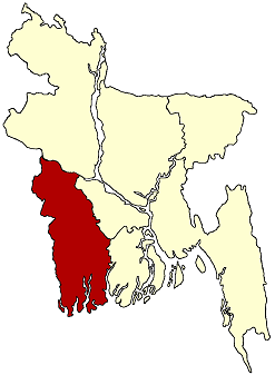
দৌলতপুর (কুষ্টিয়া)— Upazila — Location in Bangladesh
 Daulatpur
Coordinates: 24°0.1′N 88°52.5′E / 24.0017°N 88.875°ECoordinates: 24°0.1′N 88°52.5′E / 24.0017°N 88.875°E Country  Bangladesh
Division Khulna Division District Kushtia District Area - Total 468.76 km2 (181 sq mi) Population (1991) - Total 360,706 - Density 769/km2 (1,991.7/sq mi) Time zone BST (UTC+6) Website Official Map of Daulatpur Daulatpur (Bengali: দৌলতপুর (কুষ্টিয়া)) is an Upazila of Kushtia District in the Division of Khulna, Bangladesh.
Contents
Geography
Daulatpur is located at 24°00′05″N 88°52′30″E / 24.0014°N 88.8750°E . It has 66479 units of house hold and total area 468.76 km².
Demographics
As of the 1991 Bangladesh census, Daulatpur has a population of 360706. Males constitute are 51.42% of the population, and females 48.58%. This Upazila's eighteen up population is 178539. Daulatpur has an average literacy rate of 20.5% (7+ years), and the national average of 32.4% literate.[1]
Administrative
Daulatpur has 14 Unions/Wards, 161 Mauzas/Mahallas, and 242 villages.
Educational Institute
polytechnic Institute, Khash Mathurapur High school, Daulatpur College
See also
References
- ^ "Population Census Wing, BBS.". Archived from the original on 2005-03-27. http://web.archive.org/web/20050327072826/http://www.bangladeshgov.org/mop/ndb/arpc91_v1/tables04.htm. Retrieved November 10, 2006.
Categories:- Upazilas of Kushtia District
- Khulna Division geography stubs

Wikimedia Foundation. 2010.