- Cumberland Falls State Resort Park
-
Cumberland Falls State Resort Park 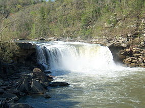
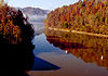
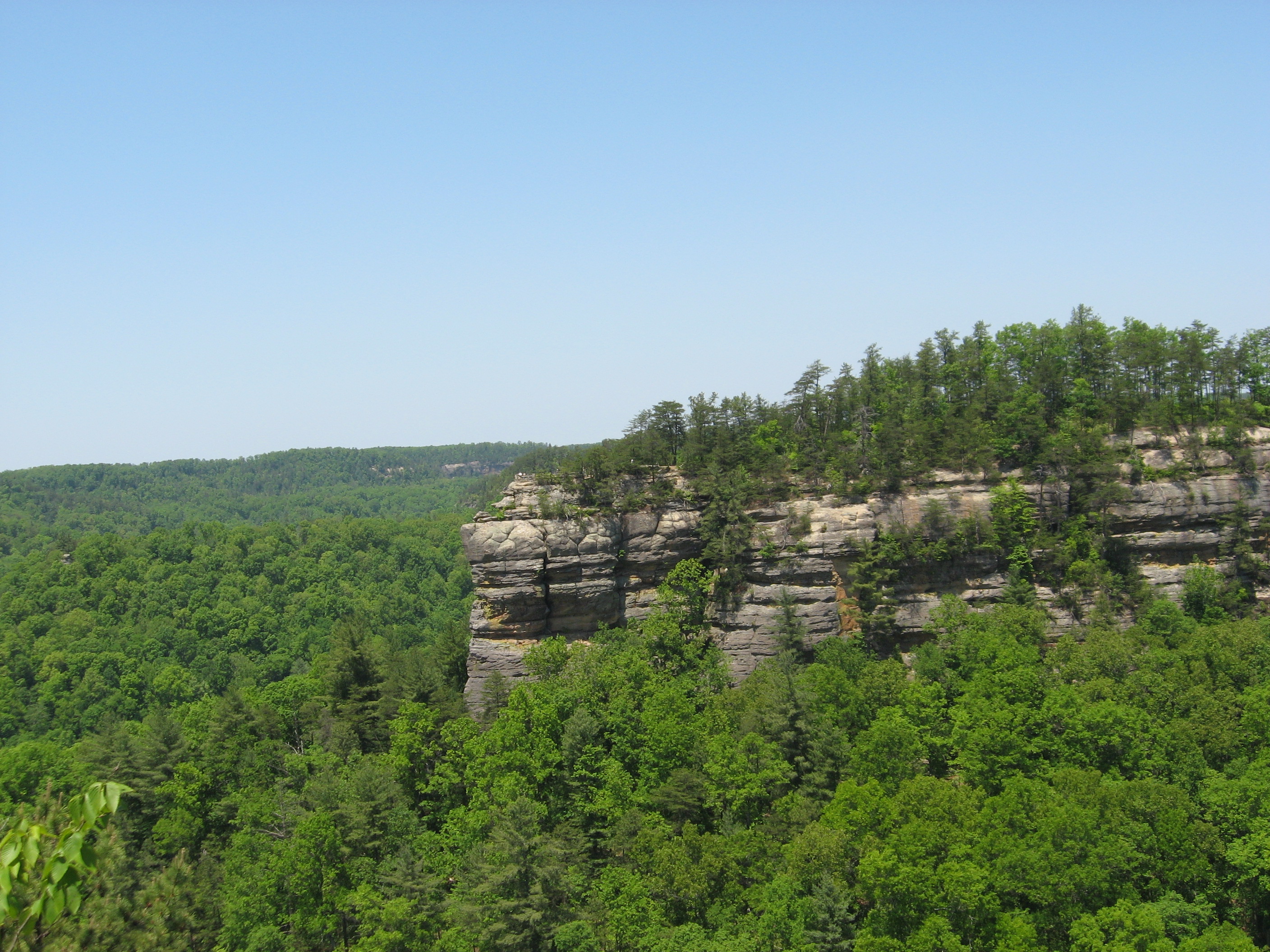
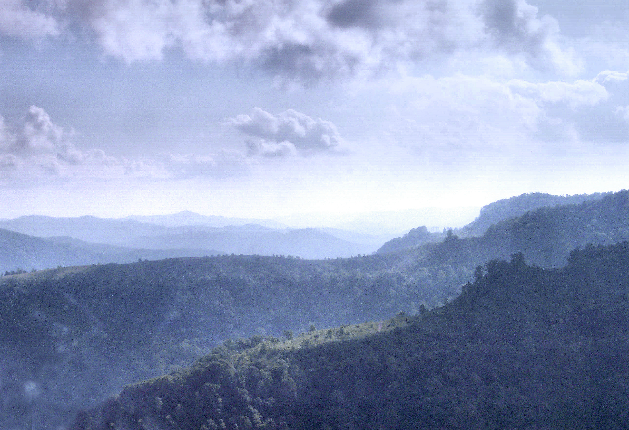
Cumberland FallsLocation McCreary County & Whitley County, Kentucky, USA Nearest city Corbin, Kentucky Coordinates 36°50′27″N 84°19′58″W / 36.84083°N 84.33278°WCoordinates: 36°50′27″N 84°19′58″W / 36.84083°N 84.33278°W Area 1,657 acres (671 ha) Established August 21, 1931 Visitors 750,000+ (in 2009) Governing body Kentucky Department of Parks Cumberland Falls State Resort Park is a park located just southwest of Corbin, Kentucky and is contained entirely within the Daniel Boone National Forest.[1] The park encompasses 1,657 acres (7 km2) and is named for its major feature, 68-foot (21 m) tall Cumberland Falls. The falls are one of the few places in the western hemisphere where a moonbow can frequently be seen on nights with a full moon.
Following a $2 million renovation project in 2006, AAA upgraded its rating of the park from two diamonds to three diamonds. Cumberland Falls SRP and Kentucky Dam Village SRP are the first two state resort parks to achieve a three diamond rating since AAA revised its rating system in 2001.[2]
Contents
History
After the discussion of building an hydroelectric power plant above the falls in 1927, Kentucky native T. Coleman du Pont offered to buy the falls and surrounding acreage in order to create a state park. Although he died before he could purchase the land, his wife purchased the falls and the 593 acres (240 ha) surrounding it for $400,000 on March 10, 1930, after the Kentucky General Assembly (legislature) approved the creation of the state park. Cumberland Falls was dedicated as a state park at 1:30 p.m. on August 21, 1931.[3]
Amenities and recreation
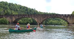 Edward Moss Gatliff Bridge
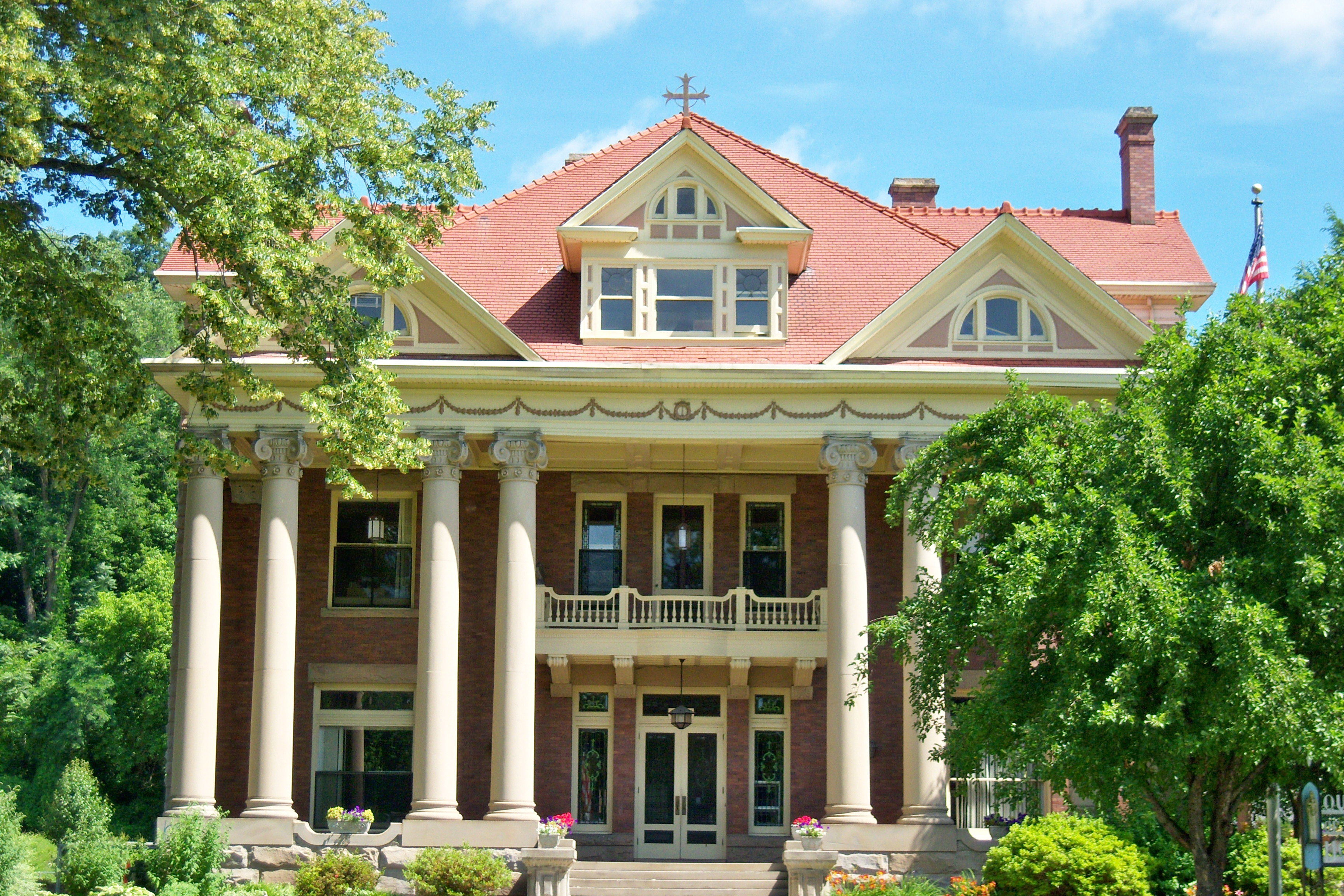
- Dupont Lodge - 51 guest rooms
- Multiple modern one and two-bedroom
- Campground with 50 campsites with utilities
- Riverview Restaurant
- Visitor's center
- Interpretive center
- Mountain biking
- Hiking - approximately 20 miles of trails
- Fishing in Cumberland River
- Horseback rides
- White water rafting and canoeing on Cumberland River[4]
Events
- Backpacking 101 - (Several times a year)
- Native American Weekend - (March)
- Overnight Canoe Adventures - (April, May, October)
- Nature Photography Weekend - (April)
- Birding and Wildflower Weekend - (May)
- Kentucky Hills Craft Festival - (September)
- Moonbow Trail Trek - (November)
See also
References
- ^ Kleber, John E., ed (1992). "Parks, State". The Kentucky Encyclopedia. Associate editors: Thomas D. Clark, Lowell H. Harrison, and James C. Klotter. Lexington, Kentucky: The University Press of Kentucky. ISBN 0-8131-1772-0.
- ^ "Diamonds in the Rough". The Times-Tribune. 2007-03-27. http://www.thetimestribune.com/archivesearch/local_story_086082844.html. Retrieved 2007-03-29.
- ^ History of Cumberland Falls State Resort Park Retrieved on 2009-12-31
- ^ Cumberland Falls State Resort Park Retrieved on 2009-12-31
External links
Visitor Attractions of the Eastern Mountain Coal Fields Parks StateBuckhorn Lake • Carr Creek • Carter Caves • Cumberland Falls • Dr. Thomas Walker • Fishtrap Lake • Grayson Lake • Greenbo Lake • Jenny Wiley • Kingdom Come • Levi Jackson Wilderness Road • Natural Bridge • Paintsville Lake • Pine Mountain • Pine Mountain Trail • Yatesville Lake
FederalInterstate


Museums Barthell Coal Mining Camp • Bell County Coal House & Museum • Bell County Historical Society Museum • Big Sandy Heritage Center • Blue Heron Coal Mining Camp • Bobby Davis Museum and Park • Breathitt County Museum • C.B. Caudill Store & History Center • Cloverfork Museum • Coal Miners' Museum • Cumberland Inn Museum • David A. Zegeer Coal-Railroad Museum • East Kentucky Science Center • Elkhorn City Railroad Museum • Harland Sanders Café & Museum • Highlands Museum and Discovery Center • Kentucky Coal Mining Museum • Kentucky Folk Art Center • Knox Historical Museum • Magoffin County Pioneer Village and Museum • Marie Stewart Museum & Craft Shop • McCreary County Museum • Morgan County History Museum • Mountain Homeplace • Mountain Life Museum • Northeastern Kentucky Museum • Swamp Valley Museum • U.S. 23 Country Music Highway Museum • Wolfe County History Museum
Forests Daniel Boone • Dewey Lake • Jefferson • Kentenia • Kentucky Ridge • Robinson • Tygarts
Reservoirs Buckhorn Lake • Carr Creek Lake • Cave Run Lake • Cranks Creek Lake • Lake Cumberland • Dewey Lake • Fishtrap Lake • Grayson Lake • Greenbo Lake • Laurel River Lake • Martins Fork Lake • Paintsville Lake • Yatesville Lake
Natural features Black Mountain • Cumberland Falls • Cumberland Gap • Eagle Falls • Middlesboro crater • Pine Mountain • Pound Gap • Raven Rock • Red River Gorge • Tri-State Peak • Yahoo Arch • Yahoo Falls
Miscellaneous Bad Branch Falls State Nature Preserve • Bat Cave and Cascade Caverns State Nature Preserves • Big South Fork Scenic Railway • Black Mountain Off-Road Adventure Area • Cumberland Gap Tunnel • Mayo Mansion • Middle Creek Battlefield • Pikeville Cut-Through • Samuel May House • Sheltowee Trace Trail
Categories:- Kentucky state parks
- Protected areas of McCreary County, Kentucky
- Protected areas of Whitley County, Kentucky
- Protected areas established in 1931
- Kentucky geography stubs


Wikimedia Foundation. 2010.