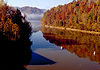
- Cumberland Falls
-
For the Cumberland Falls meteorite of 1919, see meteorite falls.
Cumberland Falls 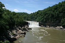
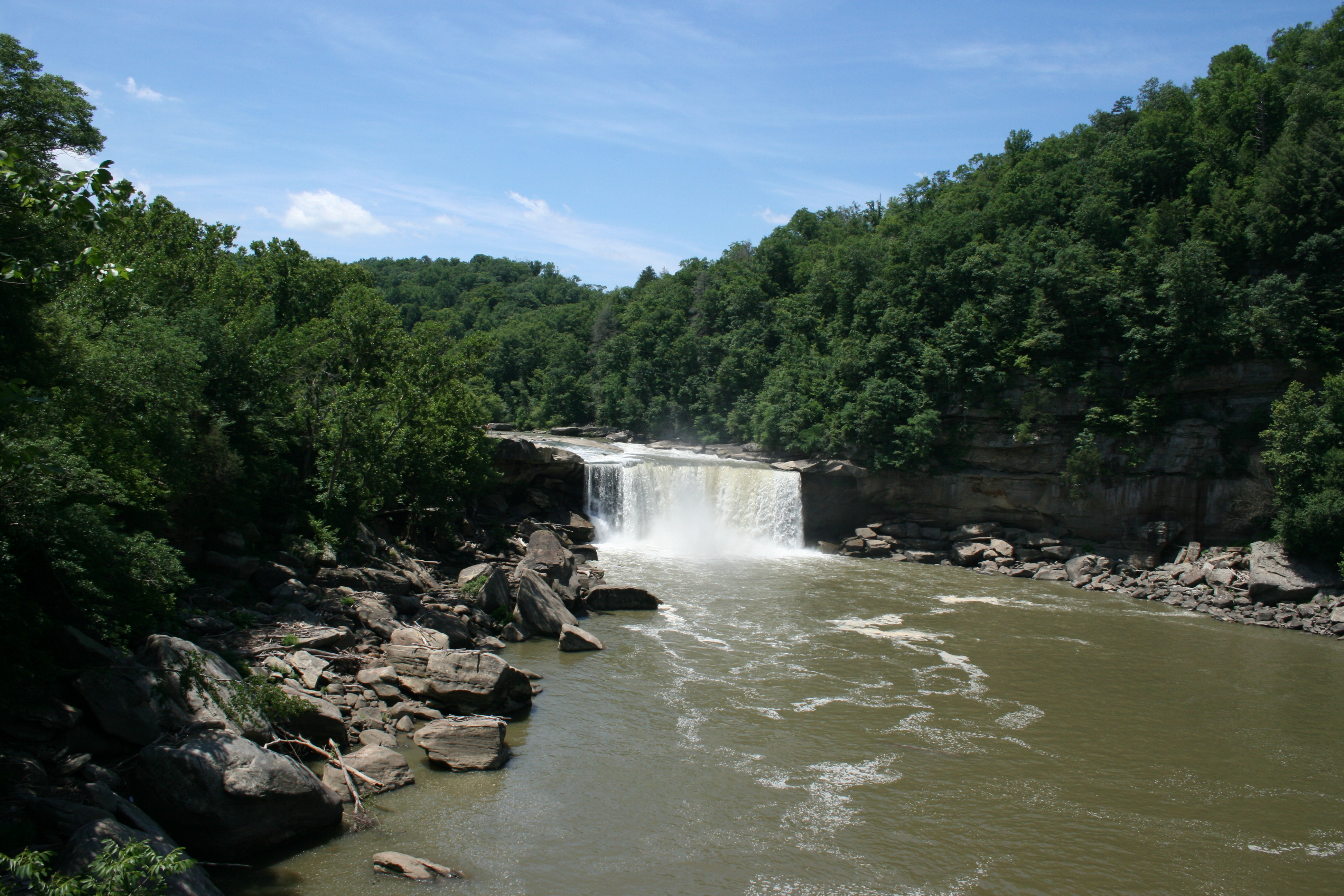
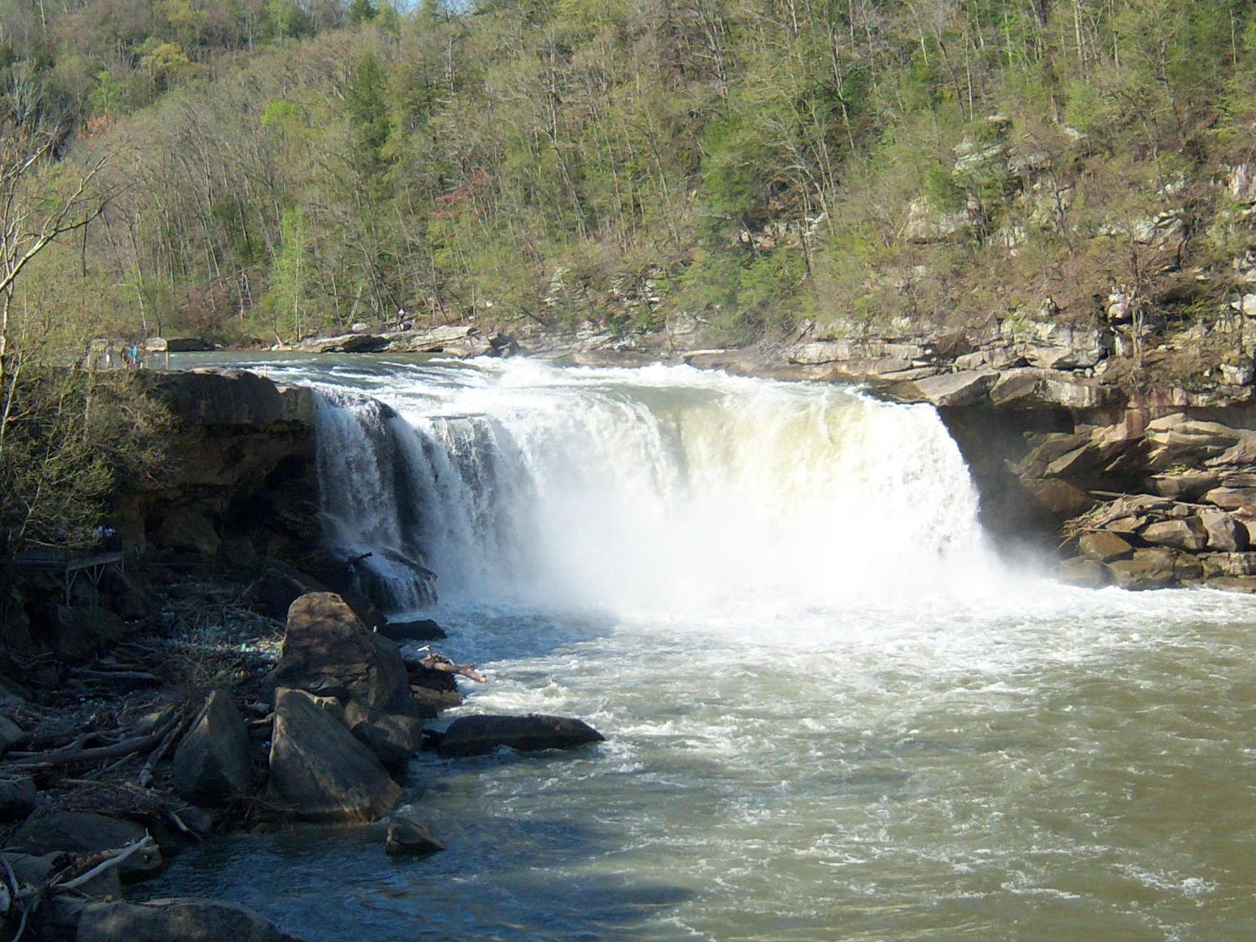
Cumberland Falls, as viewed from Whitley County.Location Cumberland Falls State Resort Park, McCreary County & Whitley County, Kentucky, USA Coordinates 36°50′17″N 84°20′40″W / 36.83801°N 84.34444°WCoordinates: 36°50′17″N 84°20′40″W / 36.83801°N 84.34444°W Type Block Total height 68 ft (21 m) Number of drops 1 Watercourse Cumberland River Cumberland Falls, sometimes called the Little Niagara, the Niagara of the South, or the Great Falls, is a large waterfall on the Cumberland River in southeastern Kentucky. Spanning the river at the border of McCreary and Whitley counties, the waterfall is the central feature of Cumberland Falls State Resort Park.[1]
On average the falls, which flow over a resistant sandstone bed, are 68 feet (21 m) high and 125 feet (38 m) wide, with an average water flow of 3,600 cubic feet per second (100 m³/s). [2]
Under a full moon on clear nights, an elusive lunar rainbow or moonbow is sometimes formed by the mist emanating from the falls.[3]
In June 2004 Tyler Mac Williams made a 7:00am descent in his kayak on the far side of the fall.[citation needed]
References
- ^ Cumberland Falls Retrieved on 2010-05-29
- ^ Kentucky Society of Natural History Retrieved 2010-05-29
- ^ Cumberland Falls Moonbow Retrieved on 2010-05-29
Further reading
External links
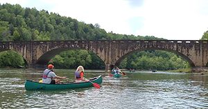 Canoers just upstream from Cumberland Falls.
- Kentucky tourism site
- Kentucky state parks information page
- Cumberland and Other Kentucky Waterfalls
Visitor Attractions of the Eastern Mountain Coal Fields Parks StateBuckhorn Lake • Carr Creek • Carter Caves • Cumberland Falls • Dr. Thomas Walker • Fishtrap Lake • Grayson Lake • Greenbo Lake • Jenny Wiley • Kingdom Come • Levi Jackson Wilderness Road • Natural Bridge • Paintsville Lake • Pine Mountain • Pine Mountain Trail • Yatesville Lake
FederalInterstate


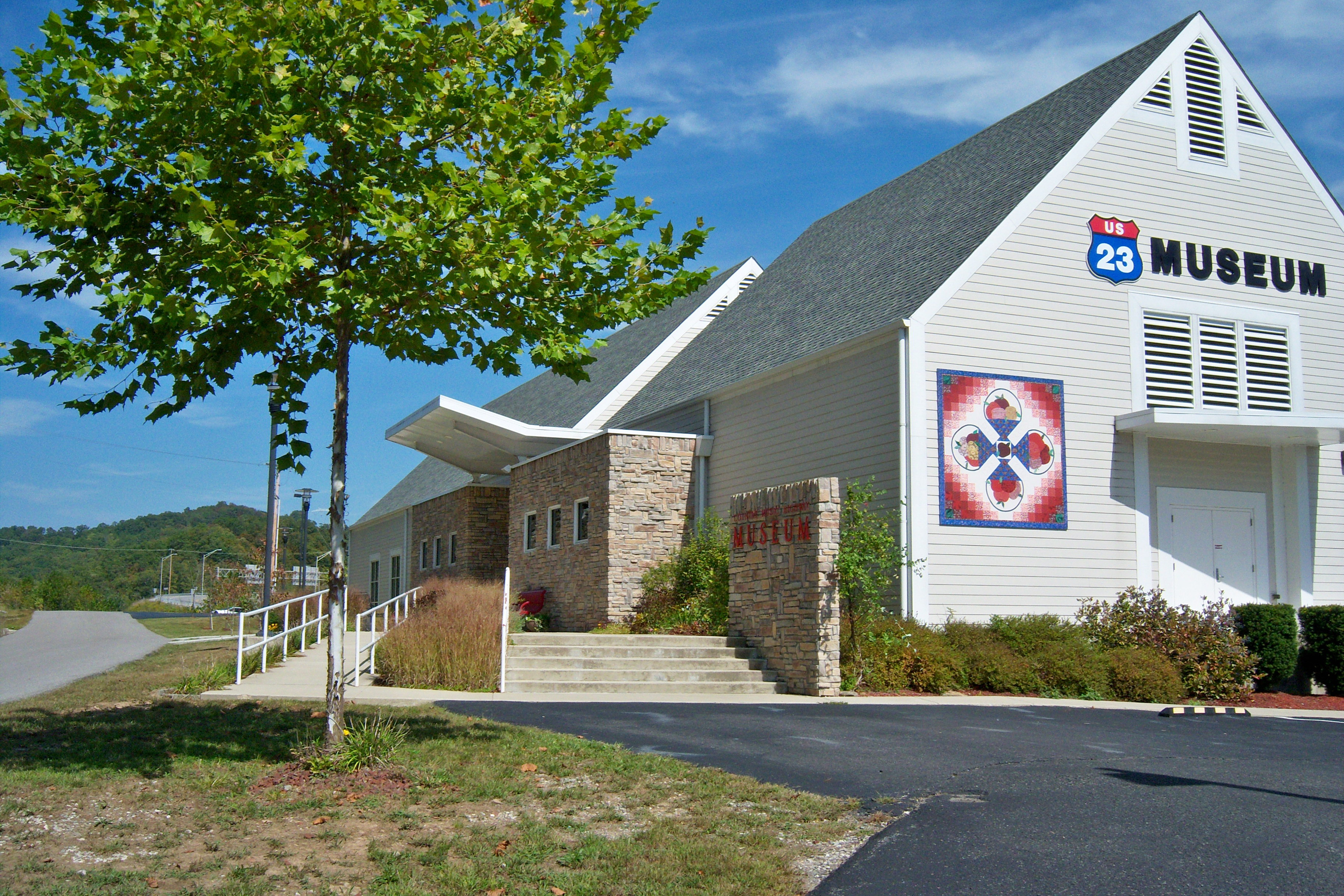
Museums Barthell Coal Mining Camp • Bell County Coal House & Museum • Bell County Historical Society Museum • Big Sandy Heritage Center • Blue Heron Coal Mining Camp • Bobby Davis Museum and Park • Breathitt County Museum • C.B. Caudill Store & History Center • Cloverfork Museum • Coal Miners' Museum • Cumberland Inn Museum • David A. Zegeer Coal-Railroad Museum • East Kentucky Science Center • Elkhorn City Railroad Museum • Harland Sanders Café & Museum • Highlands Museum and Discovery Center • Kentucky Coal Mining Museum • Kentucky Folk Art Center • Knox Historical Museum • Magoffin County Pioneer Village and Museum • Marie Stewart Museum & Craft Shop • McCreary County Museum • Morgan County History Museum • Mountain Homeplace • Mountain Life Museum • Northeastern Kentucky Museum • Swamp Valley Museum • U.S. 23 Country Music Highway Museum • Wolfe County History Museum
Forests Daniel Boone • Dewey Lake • Jefferson • Kentenia • Kentucky Ridge • Robinson • Tygarts
Reservoirs Buckhorn Lake • Carr Creek Lake • Cave Run Lake • Cranks Creek Lake • Lake Cumberland • Dewey Lake • Fishtrap Lake • Grayson Lake • Greenbo Lake • Laurel River Lake • Martins Fork Lake • Paintsville Lake • Yatesville Lake
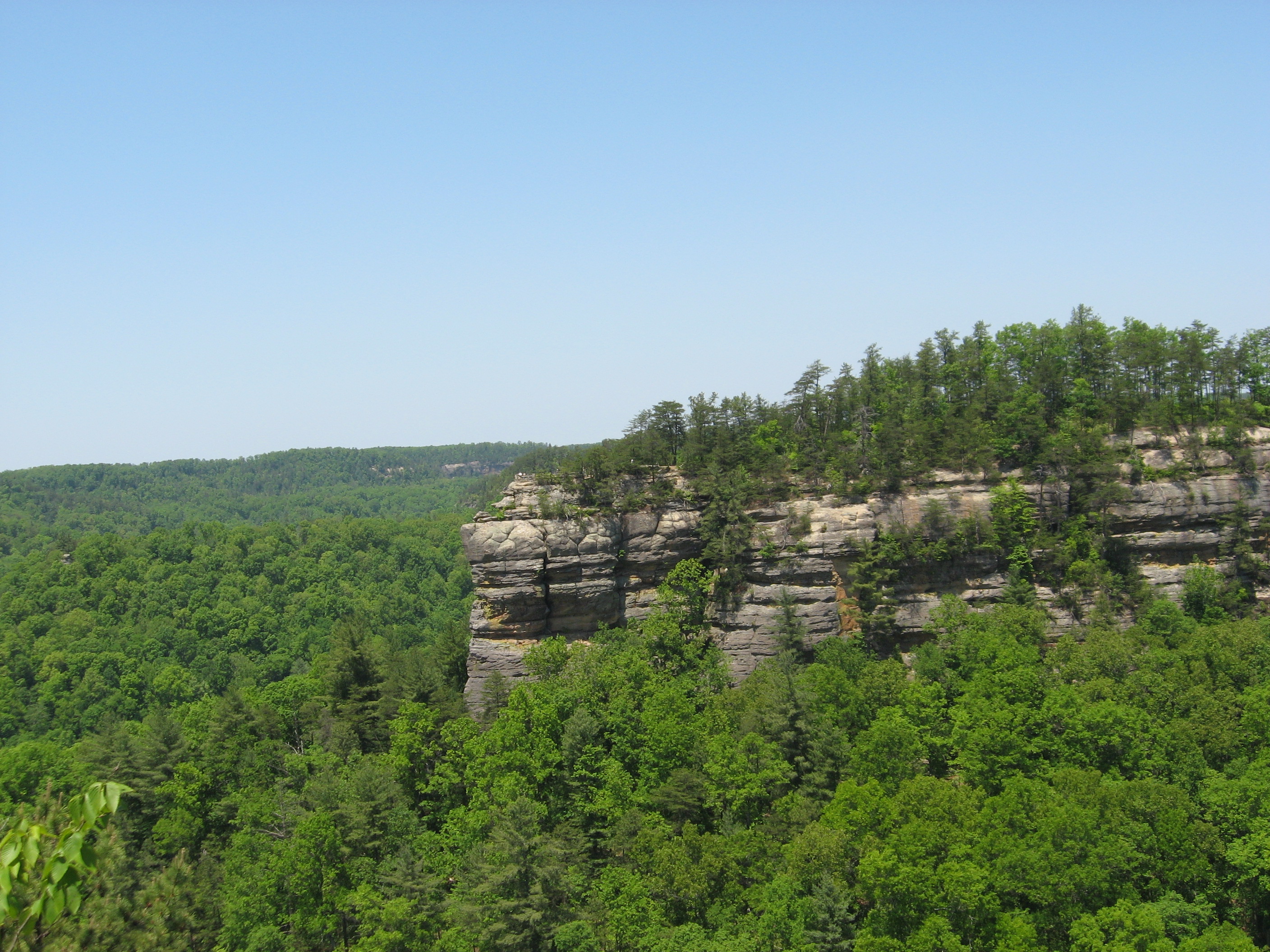
Natural features Black Mountain • Cumberland Falls • Cumberland Gap • Eagle Falls • Middlesboro crater • Pine Mountain • Pound Gap • Raven Rock • Red River Gorge • Tri-State Peak • Yahoo Arch • Yahoo Falls
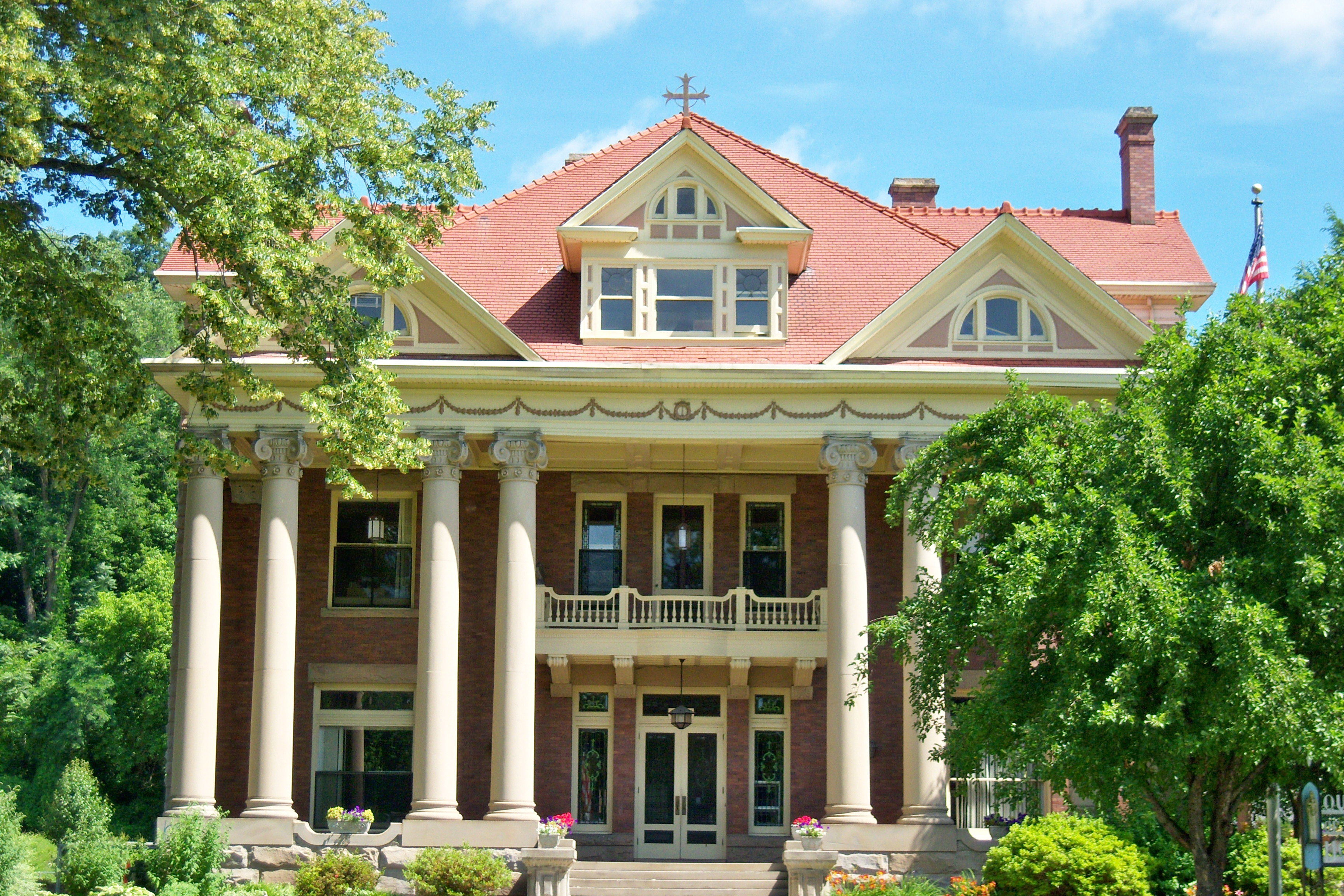
Miscellaneous Bad Branch Falls State Nature Preserve • Bat Cave and Cascade Caverns State Nature Preserves • Big South Fork Scenic Railway • Black Mountain Off-Road Adventure Area • Cumberland Gap Tunnel • Mayo Mansion • Middle Creek Battlefield • Pikeville Cut-Through • Samuel May House • Sheltowee Trace Trail
Categories:- Geography of McCreary County, Kentucky
- Waterfalls of Kentucky
- Geography of Whitley County, Kentucky


Wikimedia Foundation. 2010.