- Acamarachi
-
Acamarachi 
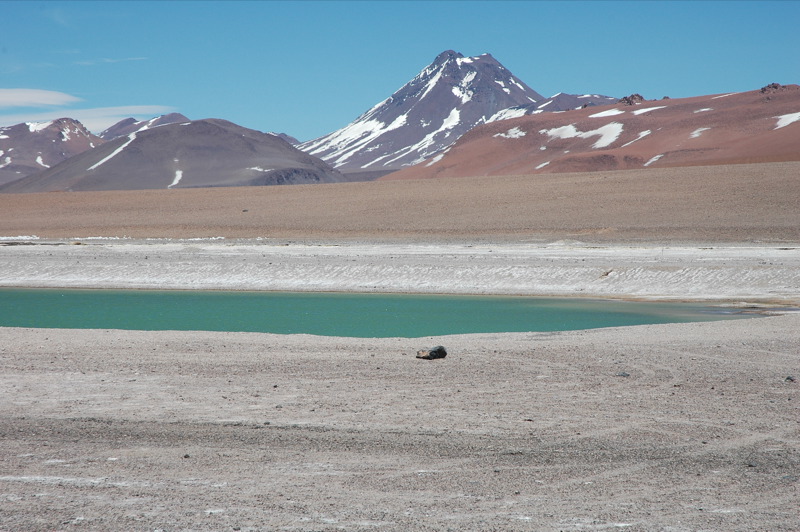
Photo taken at 23°06′34″S 67°32′52″W / 23.10944°S 67.54778°W, elevation 4,568m asl.Elevation 6,046 m (19,836 ft) [1] Prominence 1,608 m (5,276 ft) Listing Ultra Location Antofagasta Region,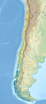
 Acamarachi
 Chile
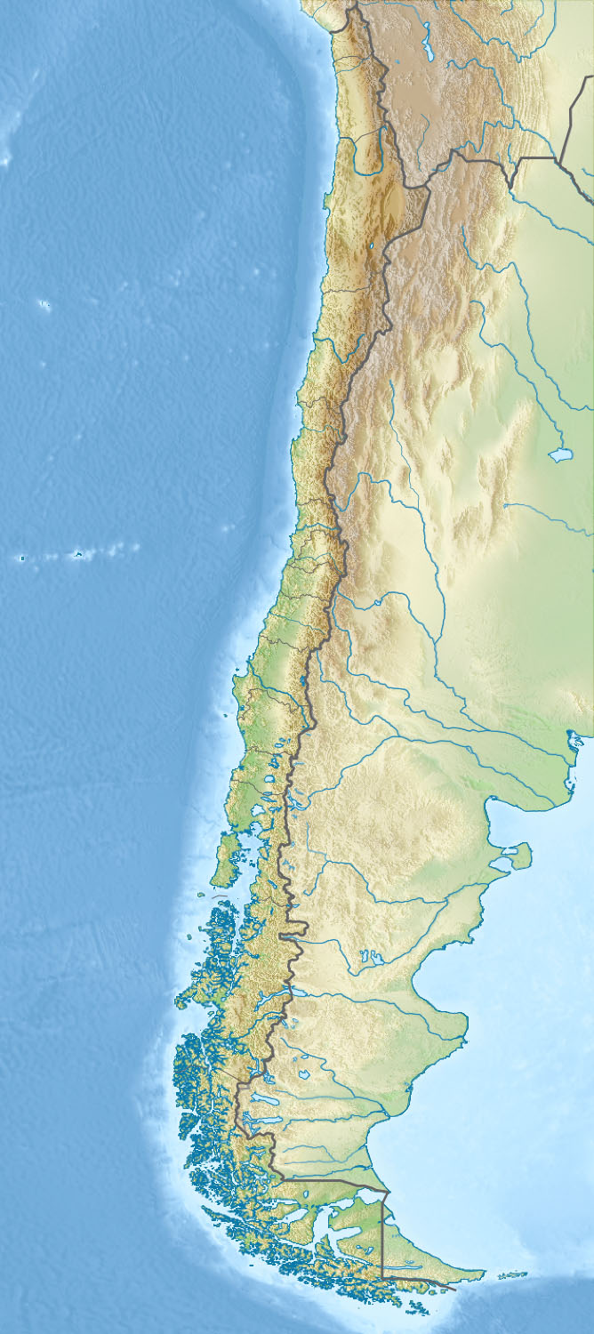
ChileRange Andes Coordinates 23°18′S 67°37′W / 23.3°S 67.617°WCoordinates: 23°18′S 67°37′W / 23.3°S 67.617°W[1] Geology Type Stratovolcano Last eruption Unknown[1] Acamarachi, also known as Pili, is a stratovolcano located northeast of the volcanoes Aguas Calientes and Lascar, and southwest of the sector Salar de Pujsa of Los Flamencos National Reserve, in the Antofagasta Region of Chile. The volcano lies on a high plateau called Puna de Atacama.
It has a steep-sided cone with slopes of up to 45 degrees. It is at the southeast end of a small volcano group stretching to Colachi to the northwest. It has an old summit crater with a summit lava flow thought to date from the Holocene era. A small crater lake about 10–15 m in diameter is found within the crater. This is most likely the second highest crater lake in the world, and also the second highest lake of any kind in South America, behind the crater lake of Ojos del Salado.
History
The volcano was an Inca sanctuary. Metal and textile artifacts have been found, which are exhibited at the R. P. Gustavo Le Paige Archaeological Museum in San Pedro de Atacama.[2]
See also
References
- ^ a b c "Acamarachi". Global Volcanism Program, Smithsonian Institution. http://www.volcano.si.edu/world/volcano.cfm?vnum=1505-096. Retrieved 2010-12-19.
- ^ "Inka and power problems on the archaeology of northern Chile". http://www.scielo.cl/pdf/chungara/v36n2/art06.pdf. Retrieved 2007-04-28.
- Biggar, John (2005). The Andes: A Guide for Climbers (3rd ed.). Andes Publishing (Scotland). pp. 304 pp. ISBN 0-9536087-2-7. http://www.andes.org.uk/.
- González-Ferrán, Oscar (1995). Volcanes de Chile. Santiago, Chile: Instituto Geográfico Militar. pp. 640 pp. ISBN 956-202-054-1. (in Spanish; also includes volcanoes of Argentina, Bolivia, and Peru)
- De Silva, Shanaka L.; Francis, Peter (1991). Volcanoes of the Central Andes. Springer-Verlag. pp. 216 pp. ISBN 3540537066.
- The Highest Lakes in the World
- Photos of the central Andes, including the Acamarachi crater lake
- Water resources study of chilean altiplano
External links
- SI Google Earth Placemarks - Smithsonian Institution Global Volcanism Program: download placemarks with SI Holocene volcano-data.
Andean volcanoes Northern Volcanic Zone (6° N–3° S) Nevado del Ruiz · Nevado del Huila · Galeras · Cayambe · Reventador · Pichincha · Antisana · Illiniza · Cotopaxi · Quilotoa · Tungurahua · SangayCentral Volcanic Zone (15°–27° S) Ampato · Coropuna · Sabancaya · Chachani · El Misti · Ubinas · Huaynaputina · Parinacota · Irruputuncu · Azufre · Sairecabur · Pacana · Licancabur · Lascar · Llullaillaco · Galán · San Francisco · Ojos del SaladoSouthern Volcanic Zone (33°–46° S) Tupungato · Tupungatito · Maipo · Calabozos · Descabezado Grande · Cerro Azul · Nevado de Longaví · Nevados de Chillán · Antuco · Copahue · Callaqui · Lonquimay · Llaima · Sollipulli · Villarrica · Quetrupillán · Lanín · Mocho-Choshuenco · Carrán-Los Venados · Puyehue-Cordón Caulle · Osorno · Calbuco · Hornopirén · Michinmahuida · Chaitén · Corcovado · Cay · Macá · HudsonAustral Volcanic Zone (49°–55° S) Note: volcanoes are ordered by latitude from north to south ||fr:Acamarachi]]
Categories:- Mountains of Chile
- Stratovolcanoes of Chile
- Crater lakes
- Volcanoes of Antofagasta Region
- Antofagasta Region geography stubs
Wikimedia Foundation. 2010.