- Ohio State Route 47
-
State Route 47
Route information Maintained by ODOT Length: 105.60 mi[1] (169.95 km) Existed: 1933 – present Major junctions West end:  IN 32 in Union City
 US 127 near Dawn
 I-75 near Sidney
 US 68 in Bellefontaine
East end: 
 SR 98 / SR 423 in Waldo
Location Counties: Darke, Shelby, Logan, Union, Delaware, Marion Highway system Ohio highways
Interstates • U.S. Routes • State Routes←  SR 46
SR 46SR 48  →
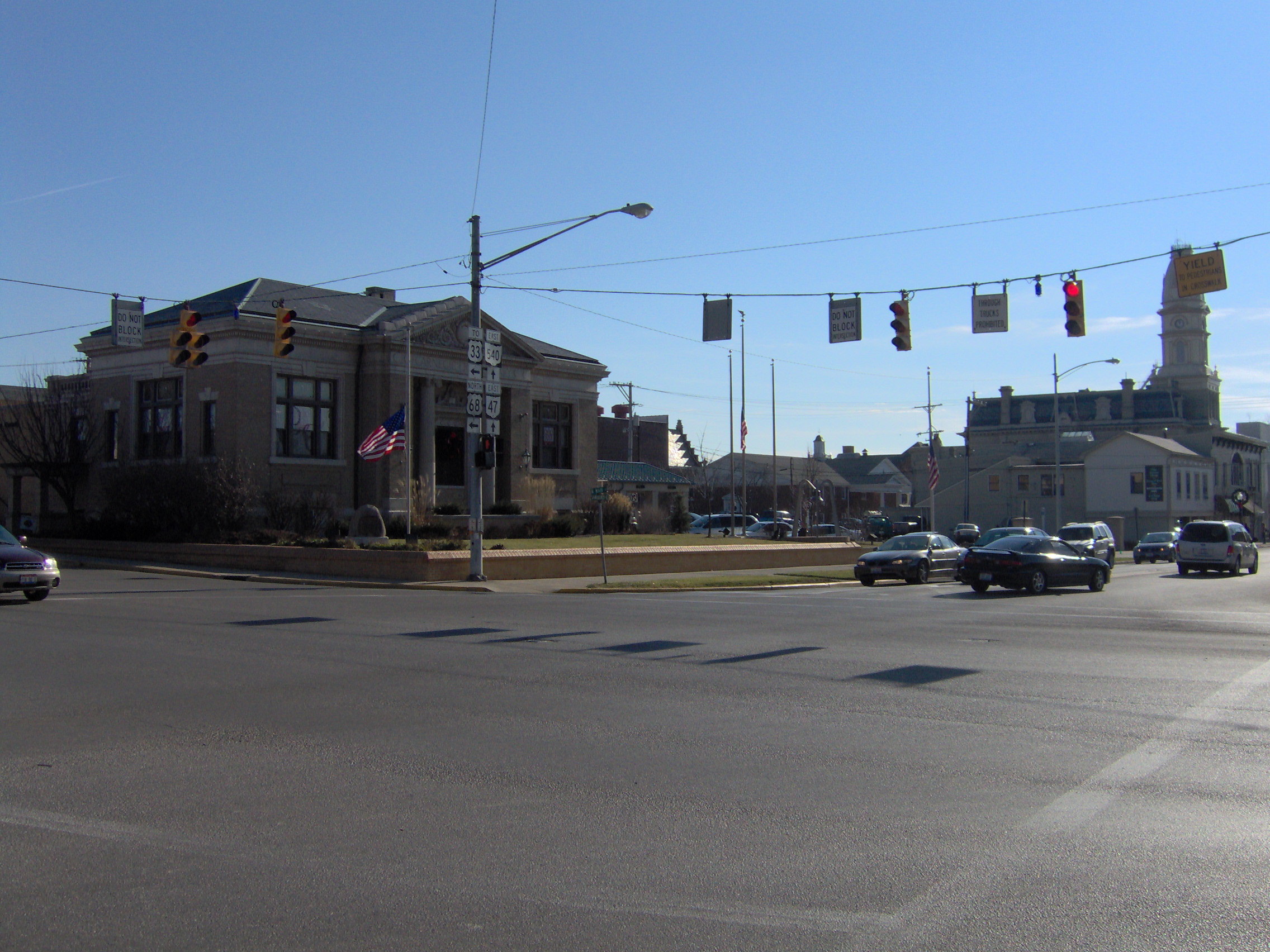
→ Intersection of Main Street and Sandusky Avenue in downtown Bellefontaine, Ohio
Ohio State Route 47 is a state highway running from the Indiana border at Union City to Waldo, about ten miles (16 km) south of Marion. In Bellefontaine, State Route 47 follows the path of different streets (even though neither are one-way) from Main Street and Sandusky Avenue to the intersection just north of Mary Rutan Hospital, about one-half mile north of the Main-Sandusky intersection. The westbound portion of State Route 47 goes down Main, while the eastbound portion goes north on Madriver Street during this stretch. Nobody really knows why the route was designated this way when none of the streets involved are one-way. It was State Route 68 until 1933, when U.S. Route 68 was commissioned. Since both roads run through a common county in Ohio (Logan), and also since there is a rule that there can be no Ohio State Routes with the same number as US highways within Ohio, the number was changed to 47.
References
- ^ Mileages retrieved from Technical Services Straight Line Diagrams unless otherwise noted.
Categories:- State highways in Ohio
- Transportation in Darke County, Ohio
- Transportation in Shelby County, Ohio
- Transportation in Logan County, Ohio
- Transportation in Union County, Ohio
- Transportation in Delaware County, Ohio
- Transportation in Marion County, Ohio

Wikimedia Foundation. 2010.