- Colaba Causeway
-
Colaba Causeway — neighbourhood — Coordinates 18°55′N 72°49′E / 18.91°N 72.81°ECoordinates: 18°55′N 72°49′E / 18.91°N 72.81°E Country India State Maharashtra District(s) Mumbai City Parliamentary constituency Mumbai South Assembly constituency Colaba Civic agency MCGM Zone 1 Ward A Time zone IST (UTC+05:30) Area
• 4 metres (13 ft)
Codes-
• Pincode • 400 005
FootnotesThe Colaba Causeway (Marathi: कुलाबा कॉसवे, शहीद भगतसिंग रोड)is a commercial street (officially known as Shahid Bhagat Singh Rd. [1]), and a major causeway or land link between Colaba and the Old Woman's Island in the city of Mumbai, India.
It lies close to the Fort area, and to the east of Cuffe Parade, an upmarket neighbourhood in South Mumbai, and close by are Mumbai's famous landmarks, the Gateway of India and Taj Mahal Palace & Tower.
Contents
History
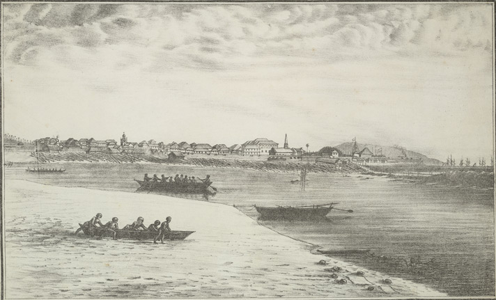
 Colaba Causeway construction using timbre, view from Colaba island, 1826.
By the beginning of the nineteenth century, the Fort area and part of older town were overcrowded, as the island of Colaba, the southern tip of the city [2], had already been declared a cantonment area in 1796, barring all construction by the civilian population. Soon the boat traffic to area increased in the next few decades, and several people died due the capsizing of overcrowded boats, making the construction of the causeway imperative [3]. What also added to the urgency to its construction was that, Mountstuart Elphinstone, Governor of Bombay (1819-1827), had already built the first home on Malabar Hill, following which the rich quickly started moving in to the centrally placed, Fort) area [4].
The Causeway as it is known to the locals, was constructed by the British East India Company, during the tenure of Sir Robert Grant (1779-1838) as the governor of Bombay (1835-1838) [5], and its construction completed in 1838, which used the Old Woman's Island as a part of it [6][7]; with this the last two islands of Colaba and Old Woman's Island (out of the Seven islands of Bombay), which were first taken in 1675, got connected with the mainland of Bombay. Until 1839, Colaba was accessible only during the low tide, though soon it saw rapid development in the area, especially after the construction the Cotton Exchange at Cotton Green in 1844 [8]. The Causeway was later further widened in 1861 and 1863 [9].
Horse-drawn tram-cars were introduced here [10], in 1873 by Stearns and Kitteredge, for their offices on the west side of the Causeway, where the Electric House now stands [9].
Overview
Today, it is termed as the 'Culture Square' of Mumbai [11]. The architecture of the area is reminiscent of the old Bombay, fact highlighted by buildings like, National Gallery of Modern Art (NGMA), Regal Cinema, Prince of Wales Museum (now Chhatrapati Shivaji Maharaj Museum) and Cusrow Baug, a Parsi residential colony, built in 1934, covering an area of 84,000 square yards, which home to over 500 families [12]. Plus the area is also hub of various art galleries, which makes this area a natural destination for artist community.
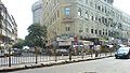
Apart from upmarket retail showrooms, and small shops dealing in electronic goods, cosmetics, and music, its has pavement book stall dating back several decades [13], besides having numerous small shops and footpath outlets selling everything from artifacts to shawls, carpets and minor antiques to slippers of all kind, which make tourists, backpackers and local from South Mumbai, throng the area through the year [11].
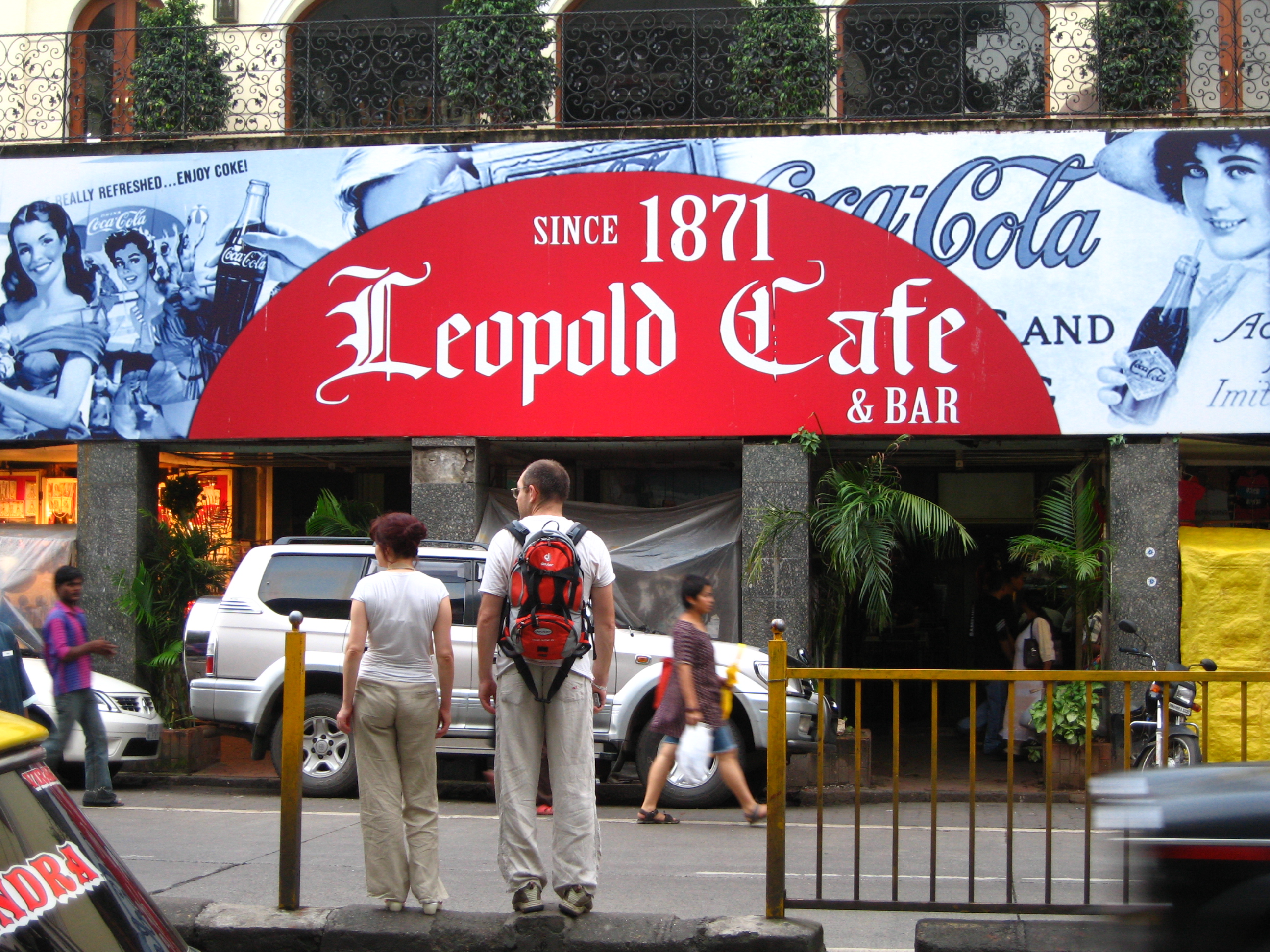
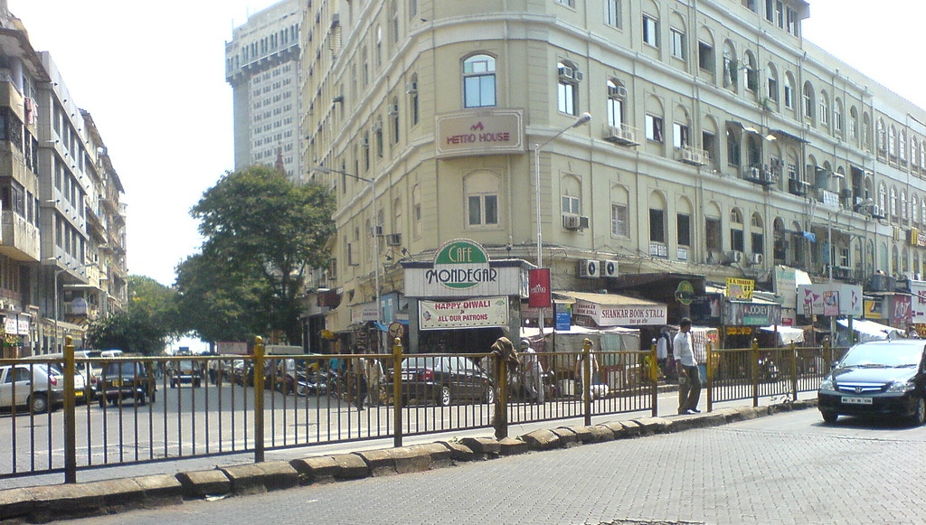
Among the restaurants, cafes and roadside eateries that make the street popular with tourists and locals alike [14] are the Indian Mughlai fame Delhi Darbar restaurant, Piccadilly restaurant, Cafe Churchill, Mings Palace, Kailash Parbat and Gokul. Cafe Mondegar, and the Cafe Leopold were founded by Iranians in 1871 [15].
Other visitors' attractions in the area are historical structures like Church of St John the Evangelist (Afghan Church) in the nearby Navy Nagar, built by the British to commemorate the dead of the disastrous First Afghan War of 1838, and the Sassoon Docks, built in 1875 [9], by Albert Abdullah David Sassoon (1818 - 1896), son of David Sassoon, a philanthropist Baghdadi Jew [16]. Today the Sassoon Docks house, one of the largest fish market of Mumbai city [14]
Gallery
-

Original Seven islands of Bombay
-

Leopold Cafe and Bar since 1871
-
Cafe Mondegar, marking the beginning of Colaba Causeway, with Taj Hotel in the background.
-

Cafe Mondegar interiors, on Colaba Causeway, painted by Mario Miranda.
-

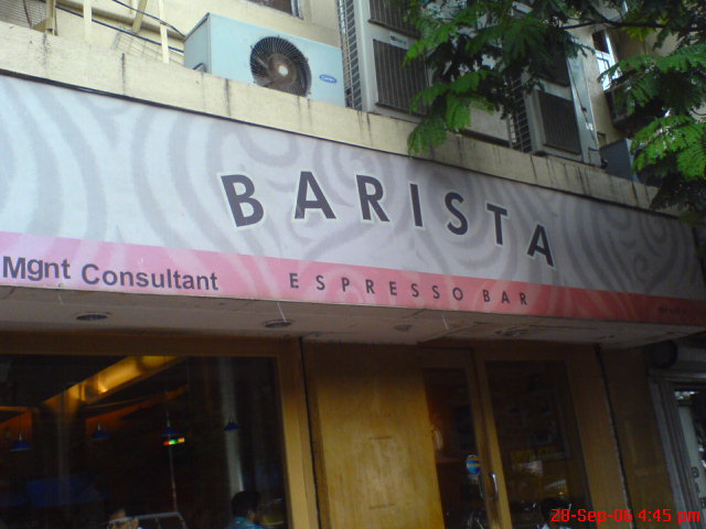
Barista at Colaba
-

Antiques being sold on Colaba Causeway
-

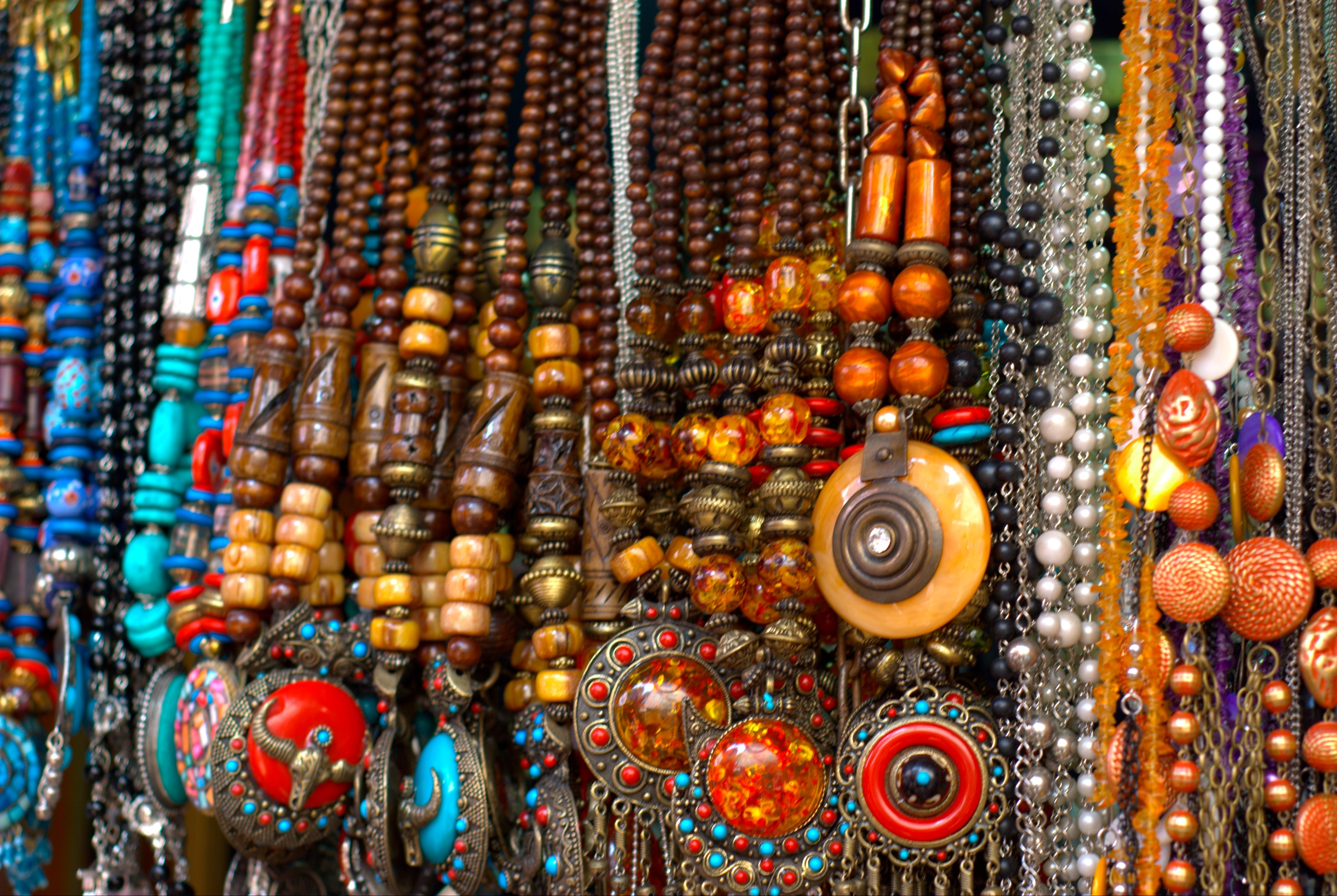
Ethnic jewellery being sold at Colaba
-

Colourful bangles at a shop, Colaba
References
- ^ Colaba Causeway
- ^ The skyline of Mumbai Deccan Herald, 7 October 2007.
- ^ History of Reclamation
- ^ Mumbai History - 19th century
- ^ Mumbai History - Colaba Causeway
- ^ History Of Bombay IIT, Mumbai.
- ^ Mumbai History mumbainet.com.
- ^ View of Colaba British Library.
- ^ a b c History of Colaba and Cuffe Parade
- ^ Images of - A horse-drawn tram on colaba causeway.
- ^ a b Mumbai's Culture Square - For the Foodie by Sarika Mehta, Business Line, a The Hindu Group publication, 24 December 2004.
- ^ Legends of the causeway - Cusrow Baug dnaindia.
- ^ Vintage Mumbai - Colaba Causeway’s lone pavement bookstall believes only in bestsellers Indian Express, 10 May 2004.
- ^ a b Colaba mapsofindia.com.
- ^ Cafe confidential The Australian, 5 July 2008.
- ^ Mumbai Atrractions - Colaba Causeway mustseeindia.com.
External links
- Legends of the causeway (Photo Feature)
- Colaba Causeway at wikimapia.
- Colaba Causeway on Google Maps
- MSN Map
Categories:- Streets in Mumbai
- Transport in Mumbai
- Markets in Mumbai
- Visitor attractions in Mumbai
- Shopping districts and streets
- Mumbai culture
-


Wikimedia Foundation. 2010.