- Codorus Creek
-
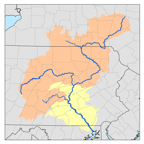
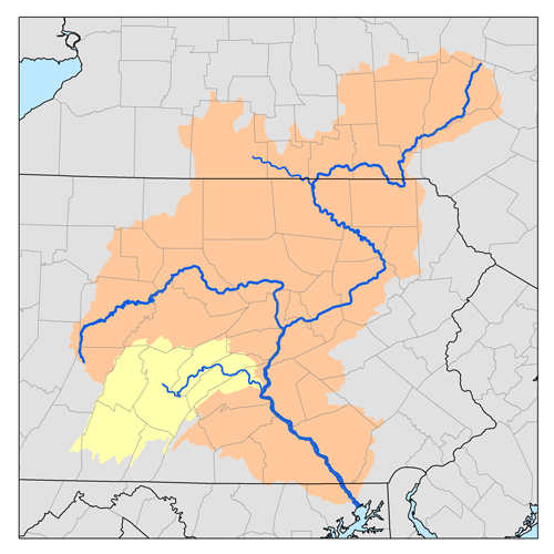
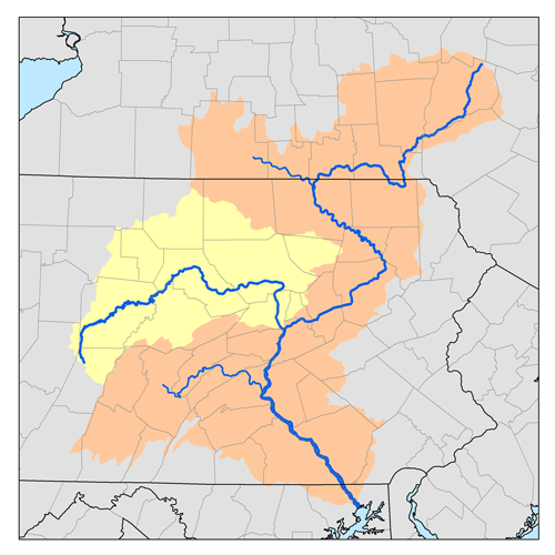
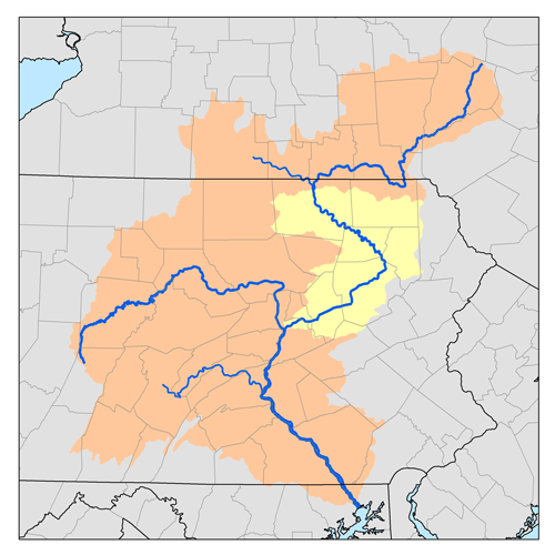
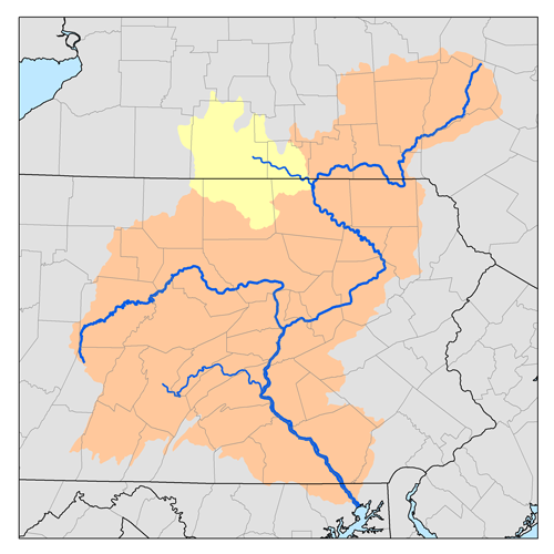
Codorus Creek is a 42.4-mile-long (68.2 km)[1] tributary of the Susquehanna River in York County, Pennsylvania in the United States.
Contents
Course
Codorus Creek (Native American for "rapid water") rises on Beecher Hill in Manheim Township, just 2 miles (3 km) north of the Pennsylvania-Maryland line and the town of Lineboro, Maryland.[1] The initial stretch of the stream, sometimes known as the West Branch,[2] flows northwest to Menges Mills, then turns northeast and flows past Spring Grove and New Salem to a junction with the South Branch approximately 0.8 miles (1.3 km) upstream of the Pennsylvania Route 182 crossing. The Army Corps of Engineers Indian Rock Dam, a flood control project, is located approximately 0.7 miles (1.1 km) upstream of the confluence with the South Branch. Codorus Creek then flows for 15.4 miles (24.8 km)[1] to join the Susquehanna River near the community of Saginaw, passing through the center of the city of York along the way.
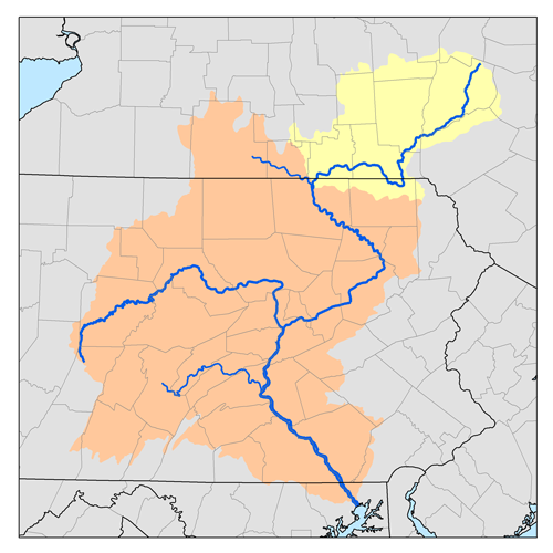
South Branch Codorus Creek
The South Branch joins the main stem (or "West Branch") approximately 0.8 miles (1.3 km) upstream of the Pennsylvania Route 182 crossing, to form Codorus Creek. The source of the South Branch is in the borough of New Freedom, 1.4 miles (2.3 km) north of the Maryland line, and the stream flows 21.6 miles (34.8 km) northwards to its junction with the main stem.[1]
Watershed association
The Codorus Creek Watershed Association (CCWA) is a non-profit, all volunteer watershed organization dedicated to preserving and restoring the entire Codorus Creek watershed for today's generation and for generations to come. CCWA is actively (2011) involved in restoration activities at at local tributary called Oil Creek near Hanover, and was recently awarded grant funding for another local tributary, Barshinger Creek, near Red Lion. Additional grants are pending final approval (April 2011) for two additional locations in the watershed.
See also
References
- ^ a b c d U.S. Geological Survey. National Hydrography Dataset high-resolution flowline data. The National Map, accessed August 8, 2011
- ^ "Codorus Creek Watershed Association". http://www.codoruscreek.net/id9.html. Retrieved August 18, 2011.
- Gertler, Edward. Keystone Canoeing, Seneca Press, 2004. ISBN 0-9749692-0-6
External links
Categories:- Rivers of Pennsylvania
- Tributaries of the Susquehanna River
- Geography of York County, Pennsylvania
- Pennsylvania geography stubs
Wikimedia Foundation. 2010.