- Manada Creek
-
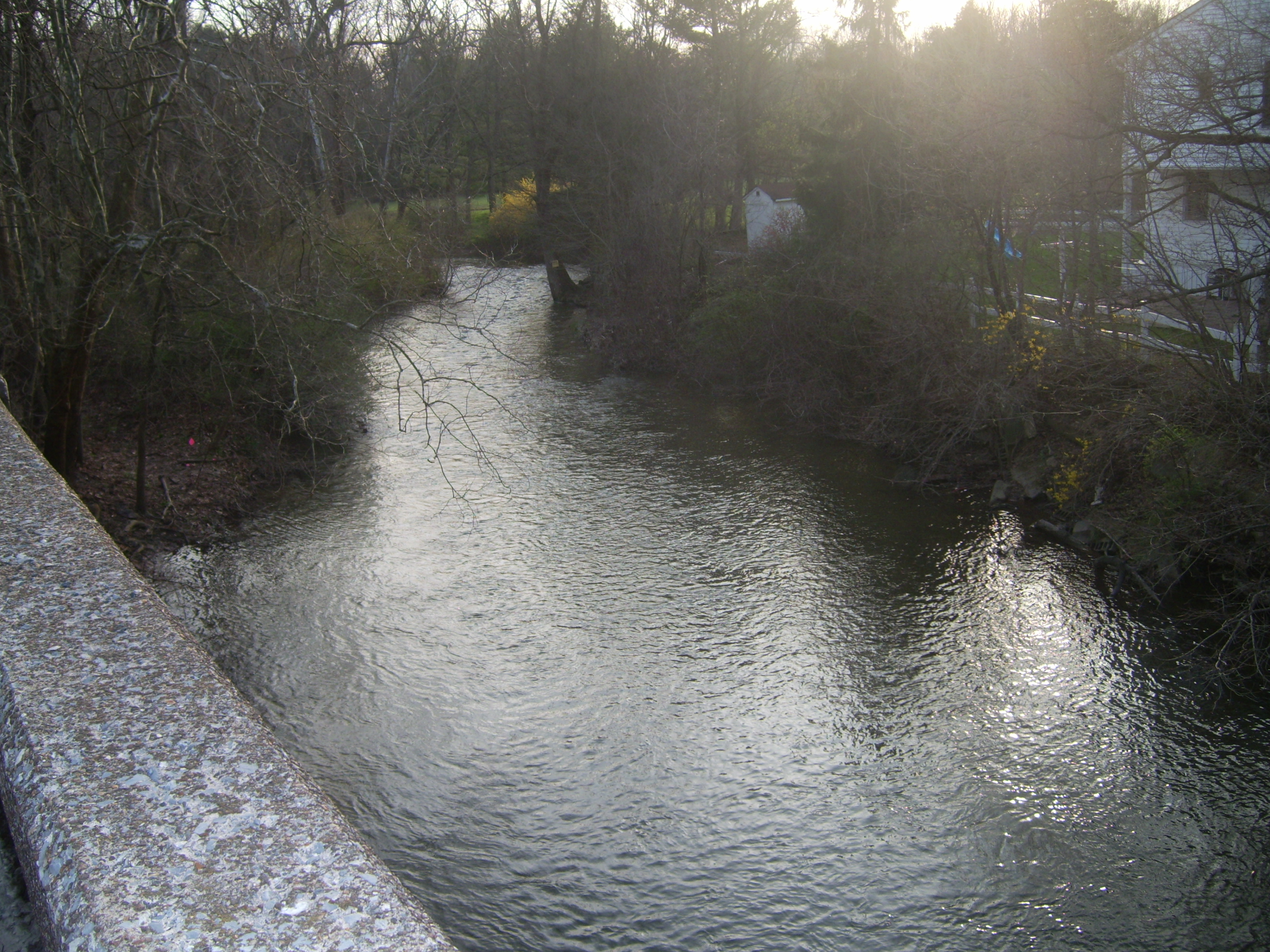
Manada Creek Stream 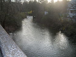 Jonestown Road Bridge at Manada Hill, Pennsylvania (replacement underway as of May 2011).
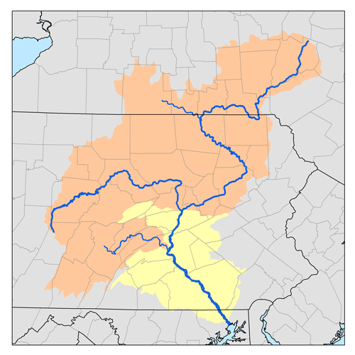
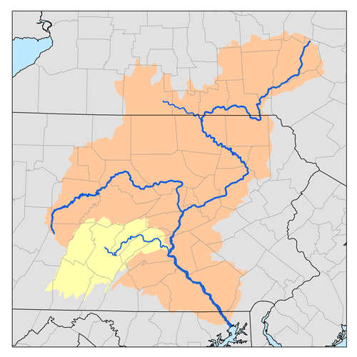
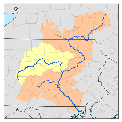
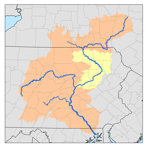
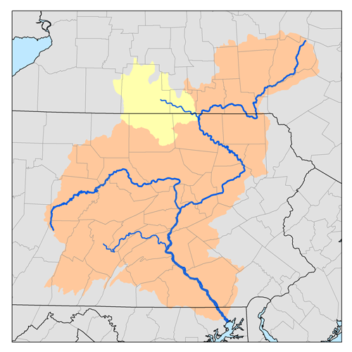
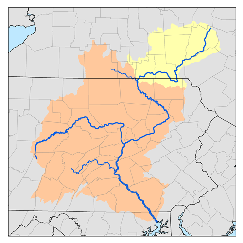
Country United States State Pennsylvania Counties Dauphin, Lebanon Tributaries - left Walnut Run Cities Sandbeach, Manadahill, Manada Gap, Fort Indiantown Gap Source Fort Indiantown Gap - location East Hanover Township, Lebanon County, Pennsylvania, USA - coordinates 40°26′29″N 76°38′41″W / 40.44139°N 76.64472°W Mouth Swatara Creek - location Sand Beach, Dauphin County, Pennsylvania, USA - elevation 348 ft (106 m) - coordinates 40°18′16″N 76°40′08″W / 40.30444°N 76.66889°W Length 17.0 mi (27 km) Basin 85.9 sq mi (222 km2) Discharge for Manada Gap, Pennsylvania - average 23 cu ft/s (1 m3/s) - max 987 cu ft/s (28 m3/s) - min 8 cu ft/s (0 m3/s) Manada Creek is a 17.0-mile-long (27.4 km) [1] tributary of Swatara Creek in Dauphin County, Pennsylvania in the United States.
The name is derived in Spanish, meaning "herd". The creek is born in Fort Indiantown Gap, East Hanover Township, flowing northwest through Blue Mountain. As it flows through East Hanover Township, supporting popular ranges of fishing during spring seasons, it then meets Walnut Run. The watershed drains approximately 82 sq mi (213 km), including areas of farmland and heavily forested areas.[2][3]
Manada Creek joins the Swatara Creek along the outskirts of the unincorporated community of Sand Beach.
Contents
See also
Notes
References
- Gertler, Edward. Keystone Canoeing, Seneca Press, 2004. ISBN 0-9749692-0-6
External links
- Manada Conservancy
- Community Organizations
- U.S. Geological Survey: PA stream gaging stations
- USGS 01573482 Water Data - Manada Creek at Manada Gap, PA
Categories:- Rivers of Pennsylvania
- Tributaries of the Susquehanna River
- Pennsylvania geography stubs
Wikimedia Foundation. 2010.