- Blue Mountain (Pennsylvania)
Geobox|Range
name=Blue Mountain
other_name=The Blue Mountain
image_size=300
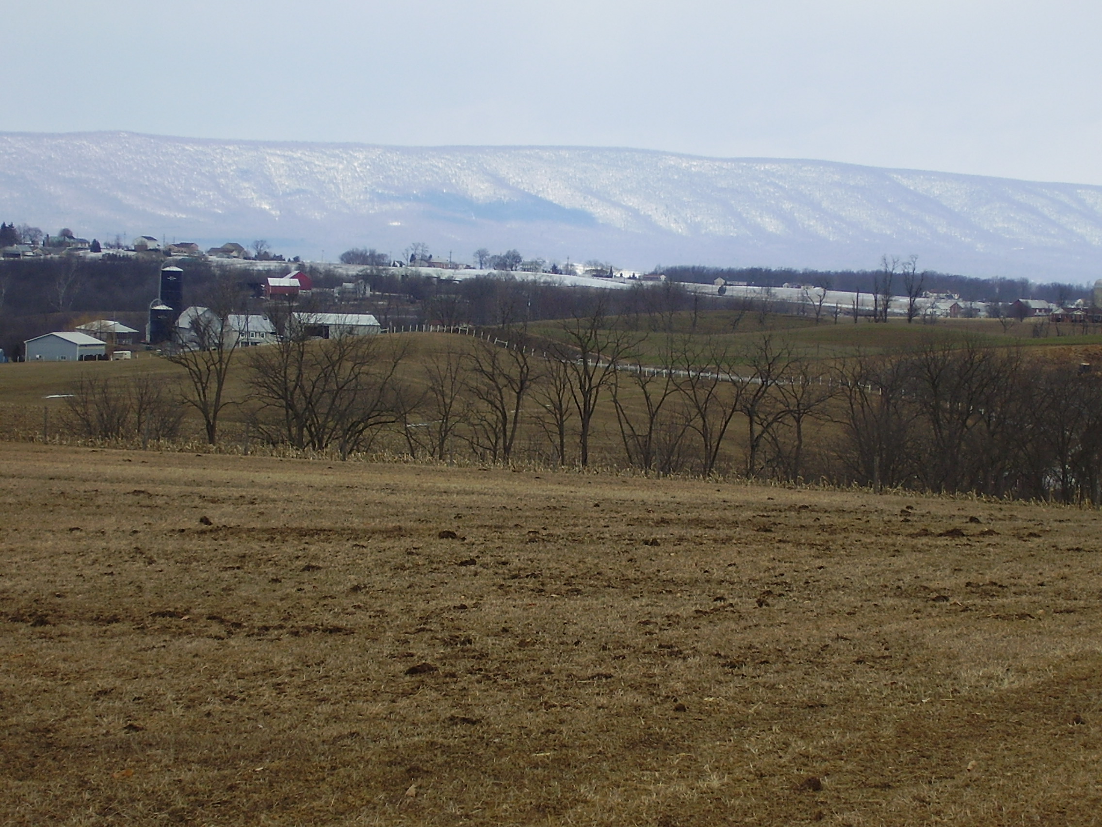
image_caption=The "Great Wall" of Blue Mountain
country=United States
state= Pennsylvania
unit=Appalachian Mountains
border=Ridge-and-Valley Appalachians
border1=Great Appalachian Valley
geology=Tuscarora Formation
geology1=Shawangunk Formation ; sedimentary
orogeny=
period=Silurian
length_imperial=150
length_round=0
length_orientation=east-west
highest=
highest_elevation_imperial=2270
highest_lat_d=|highest_lat_m=|highest_lat_s=|highest_lat_NS=N
highest_long_d=|highest_long_m=|highest_long_s=|highest_long_EW=W
map_size=
map_caption=Blue Mountain is a ridge that forms the eastern (southeastern) edge of the
Appalachian mountain range in theU.S. state ofPennsylvania . It cuts across the eastern half of the state fromNew Jersey toMaryland , providing a distinct boundary between a number of Pennsylvania's geographical and cultural regions. To its northwest side are the southern and central mountains and valleys, the "coal region", and the Poconos. To its southeast side are theCumberland Valley , the "capital region",Pennsylvania Dutch Country , and theLehigh Valley .Geography
The ridge of Blue Mountain runs for 150 miles through Pennsylvania, reaching an elevation of 2,270 feet (692 meters) above
sea level just north of thePennsylvania Turnpike , near the borough of Newburg. Most of the ridgecrest, however, only reaches between 1,400 and 1,600 feet in elevation. The mountain's width varies from 1 to 3 miles.The southwestern end of the mountain is at Big Gap, west of Shippensburg. (The mountain ridge continues to the southwest towards Maryland under the name of "Broad Mountain".) The northeastern end of the mountain is at the
Delaware Water Gap on the New Jersey border.Mount Minsi , elevation 1,461 feet (445 m), forms the promontory overlooking the Delaware River. The ridge of Blue Mountain continues northeast into New Jersey as theKittatinny Mountains . [U.S. Geological Survey 1:24,000-scale and 1:250,000-scaletopographic map series]Blue Mountain marks the boundary between the
Great Appalachian Valley and the mainRidge-and-valley Appalachians .Water gaps
Four of Pennsylvania's major rivers cut through Blue Mountain in
water gap s.
* TheDelaware River , which forms Pennsylvania's eastern border with New Jersey, passes through the ridge just southeast of Stroudsburg.
* TheLehigh River , which feeds the Delaware at Easton, passes through the ridge near Palmerton.
* TheSchuylkill River , which feeds the Delaware at Philadelphia, passes through the ridge just north of Hamburg.
* TheSusquehanna River , which feeds theChesapeake Bay , passes through the ridge just north of Harrisburg, Pennsylvania's capital.The Pennsylvania Turnpike
system passes through the Blue Mountain at two points.
* TheBlue Mountain Tunnel carries the Turnpike's east-west mainline (Interstate 76) through the ridge in northern Franklin County. The turnpike also tunnels through a parallel ridge of the same mountain just to the west (with the two tunnel portals only 0.2 miles apart; the name of this western tunnel is Kittatinny Mountain.
* TheLehigh Tunnel , so named to avoid confusion with the former, carries the Turnpike's north-south Northeast Extension (Interstate 476 ) through the ridge between Lehigh and Carbon Counties.Both tunnels (each consisting of two tubes) carry two lanes in each direction of travel.Blue Mountain attractions in Pennsylvania
* The
Appalachian Trail is concurrent with the top of the ridge from New Jersey to northern Lebanon County.
* Hawk Mountain Sanctuary is located at the very northern edge of Berks County.
*Blue Mountain Ski Area is found on the north face of the ridge in the southeastern corner of Carbon County.
*Delaware Water Gap National Recreation Area reaches across Northampton, Monroe, and Pike Counties and into New Jersey, mostly to the northwest of the ridge.
*Boyd Big Tree Preserve Conservation Area in Dauphin CountyThere is a school district named after the mountain range. It is located just off Rt. 61 in Schuylkill Haven, PA
References
* cite web
url = http://www.topoquest.com/map.asp?lat=40.18785&lon=-77.59917&s=48&size=l&u=4&datum=nad27&layer=DRG
title = Latitude and Longitude from TopoQuest
format = map
publisher = TopoQuest.com dead link|date=September 2008External links
* [http://www.hawkmountain.org/ Hawk Mountain]
* [http://hawkmountain.org/index.php?pr=Map_and_Directions Hawk mountain location]
* [http://www.skibluemt.com/the_mountain/ Blue Mountain Ski Area]
* [http://www.bmsd.k12.pa.us/ Blue Mountain School District]
* [http://www.peteena.com/ROADSIDE.HTM Roadside America USA]
Wikimedia Foundation. 2010.