- Oklahoma State Highway 46
-
State Highway 46

Route information Maintained by ODOT Length: 49.2 mi (79.2 km) Major junctions South end: 

 US-60/US-283/SH-51 in Arnett
North end:  US-64 west of Buffalo
Highway system Oklahoma State Highways
Oklahoma turnpike system←  SH-45
SH-45SH-47  →
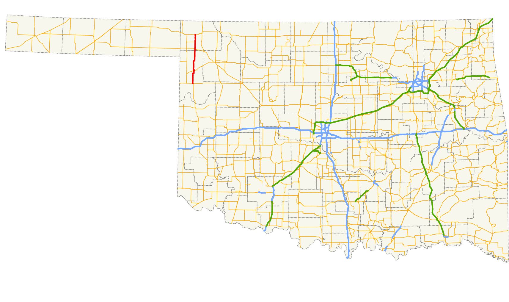
→State Highway 46 (SH-46 or OK-46) is a state highway in Oklahoma. It runs 49.2 miles (79.2 km) south-to-north in Ellis and Harper counties.[1]
Route description
SH-46 begins at US-60/US-283/SH-51 on the west side of Arnett. The road runs north 13 miles (21 km) to the junction of SH-15 at Gage, then continues another 22 miles (35 km) to May, where it crosses US-270/US-412/SH-3.
Three miles north of May, SH-46 crosses the North Canadian River, and four miles (6 km) after that, SH-149 branches off to the west, connecting to the town of Laverne. Seven miles later, SH-46 ends at US-64, eight miles (13 km) west of Buffalo.
External links
References
- ^ Stuve, Eric. "OK-46". OKHighways. http://www.okhighways.com/ok46.html. Retrieved 2006-09-20.
Categories:- State highways in Oklahoma

Wikimedia Foundation. 2010.