- North Canadian River
-
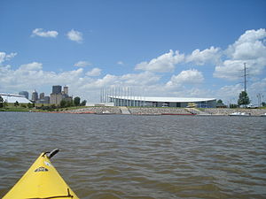
 The Oklahoma River from a kayak in the center of the recreational rowing area - Chesapeake Boathouse and downtown skyline in background Oklahoma City, Oklahoma
The North Canadian River is a tributary of the Canadian River, approximately 440 miles (710 km) long, that flows through New Mexico, Texas and Oklahoma in the United States.
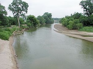
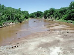
The North Canadian River rises just east of Des Moines, New Mexico in Union County, New Mexico; it is known as Corrumpa Creek. From here and throughout the Oklahoma Panhandle, it normally does not have much standing water. From there it flows eastwardly through the Oklahoma Panhandle, where it is known as the Beaver River. The Beaver River is dammed near Hardesty as Optima Dam. Originally approved in the 1930s, it was envisioned to provide drinking water to area communities, but construction did not occur until the 1960s. The Coldwater Creek empties into the Beaver River at Optima Dam. It flows southeastward into the Texas Panhandle into Sherman County, Texas for six miles, turning northeast and back into the Oklahoma Panhandle before continuing on to the east. It enters Northwest Oklahoma and turns southeast and takes the name North Canadian River where it is joined by Wolf Creek just south of the town of Fort Supply, Oklahoma. It is dammed at Canton, Oklahoma in Blaine County where it forms Canton Lake. It flows past Oklahoma City, Oklahoma 708 km, joining the Canadian River in McIntosh County at Eufaula Lake.
Contents
Oklahoma River
A seven-mile portion of the river flowing through Oklahoma City was renamed the Oklahoma River in 2004.[1] This portion has several locks that have created a series of small lakes in which rowing, kayaking, and canoeing regattas take place (hosted by the Oklahoma City Boathouse Foundation, Chesapeake Boat House,[2] and Oklahoma City University). Regatta activities include: 2.5 mile head races, 2000 meter sprints, and 500 meter sprints. It is the only location in the US conducting officially-sanctioned night sprints under lights.
The Oklahoma River was profiled in The New York Times on April 22, 2008.[3]
See also
References
- ^ Oklahoma River.
- ^ Chesapeake Boat House.
- ^ Thomas, Katie (April 22, 2008). "Revival of a River Alters a City’s Course in Sports". The New York Times. http://www.nytimes.com/2008/04/22/sports/othersports/22oklahoma.html. Retrieved 2008-04-12.
External links
Categories:- Rivers of New Mexico
- Rivers of Oklahoma
- Rivers of Texas
- Landforms of Union County, New Mexico
- Tributaries of the Arkansas River
- Geography of Sherman County, Texas
- Geography of Blaine County, Oklahoma
- Geography of McIntosh County, Oklahoma
- Geography of Oklahoma City, Oklahoma
Wikimedia Foundation. 2010.


