- Oklahoma State Highway 27
-
State Highway 27

Route information Maintained by ODOT Length: 16 mi (26 km) Major junctions South end:  SH-9 west of Wetumka
North end: 
 US-62/SH-56 in Okemah
Highway system Oklahoma State Highways
Oklahoma turnpike system←  SH-26
SH-26SH-28  →
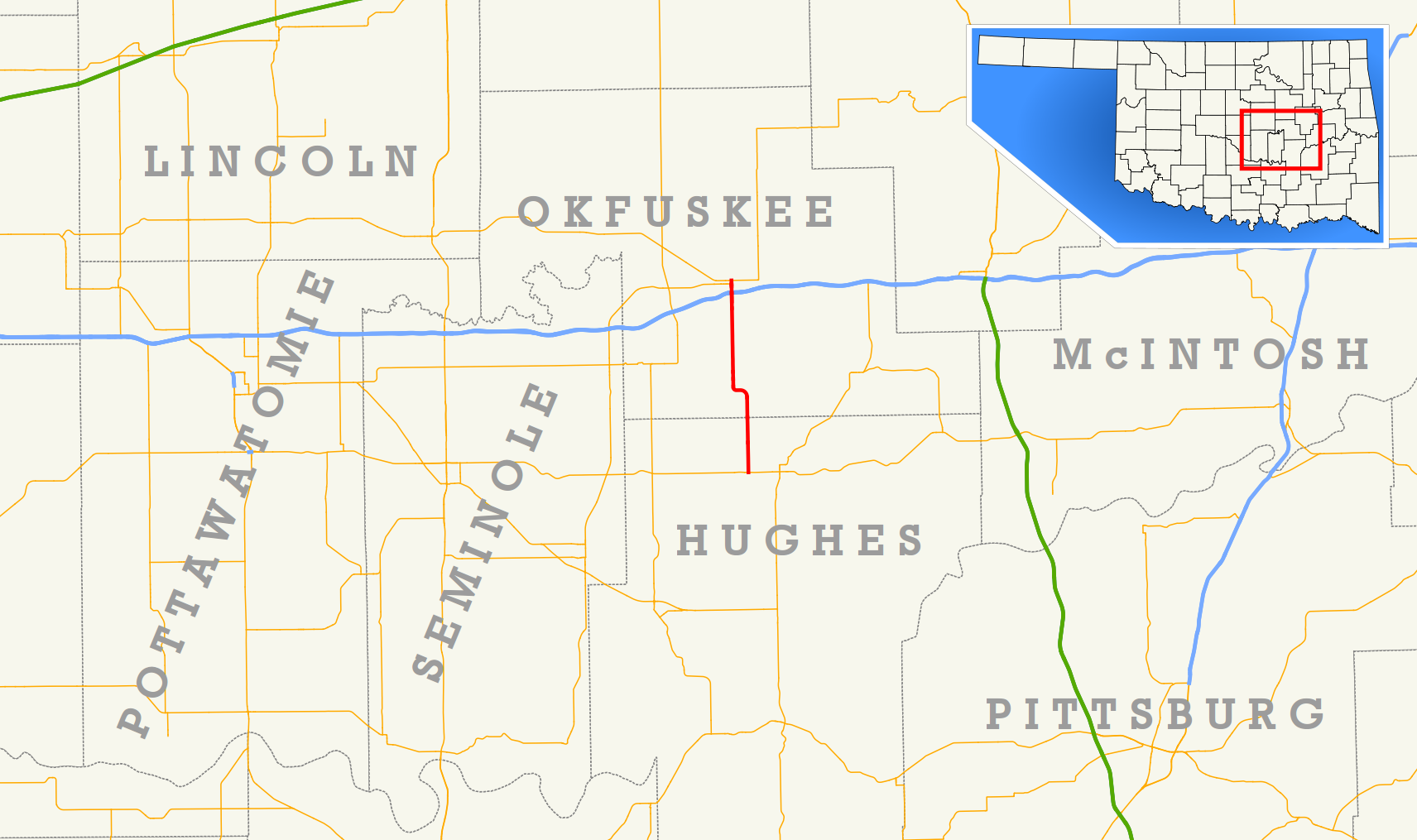
→State Highway 27 (SH-27 or OK-27) is a state highway in Oklahoma. It runs 16 miles[1] south-to-north in Hughes and Okfuskee Counties.
There are no letter-suffixed spur highways branching from SH-27.
Contents
Route description
SH-27 begins at SH-9 three miles (5 km) west of Wetumka. It travels 16 miles (26 km) almost straight north, except for a slight dogleg to the west before the North Canadian River crossing.
About one mile (1.6 km) south of its terminus in Okemah, SH-27 intersects I-40 and US-62, and forms a brief concurrency with US-62 before terminating at SH-56.
Junction list
County Location Mile[1] Destinations Notes Hughes 0.0 SH-9Southern terminus Okfuskee 14.9  I-40 / US-62
Southern end of US-62 concurrency, I-40 exit 221 Okemah 15.6 SH-56Southern end of SH-56 concurrency 15.8 US-62 / SH-56Northern terminus 1.000 mi = 1.609 km; 1.000 km = 0.621 mi
Concurrency terminus • Closed/Former • Incomplete access • UnopenedExternal links
References
- ^ a b Stuve, Eric. "OK-27". OKHighways. http://www.okhighways.com/ok27.html. Retrieved 2006-09-19.
Categories:- State highways in Oklahoma

Wikimedia Foundation. 2010.