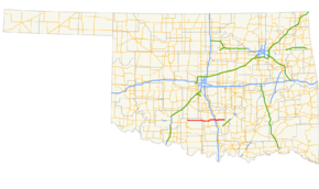
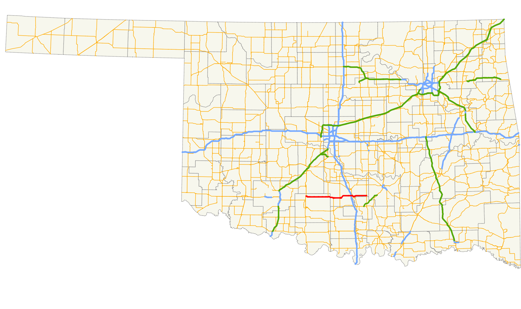
- Oklahoma State Highway 29
-
State Highway 29
Route information Maintained by ODOT Length: 58.5 mi (94.1 km) Major junctions West end:  US-81 in Marlow
East end:  US-177 east of Wynnewood
Highway system Oklahoma State Highways
Oklahoma turnpike system←  SH-28
SH-28SH-30  →
→State Highway 29 (abbreviated SH-29 or OK-29) is an east–west state highway in the U.S. state of Oklahoma. It runs for 58½ miles[1] (94.2 km) through Stephens Co. and Garvin Co., and has one lettered spur route.
Contents
Route description
 SH-29's eastern end approaching US-177
SH-29 begins at an intersection with U.S. Highway 81 in Marlow, Oklahoma. It heads east from here, curving southeast after leaving town and eventually straightening out. The next town it passes through is the small but spread-out town of Bray. 12 miles (19 km) east of Bray, it meets State Highway 76, which it has a 5-mile (8.0 km) concurrency with. Six miles further east, SH-29 meets SH-74 at a four-way stop in Elmore City.
SH-29 next meets Interstate 35 at its Exit 66. Soon after passing under the Interstate, SH-29 meets U.S. Highway 77, and the two highways overlap over the Washita River into Wynnewood. US-77 splits off in downtown Wynnewood, and SH-29 continues eastward for 12 more miles before ending at US-177.
SH-29A
SH-29's single lettered spur is SH-29A, which runs for 0.5 miles (0.80 km) to the small town of Foster.
Junction list
County Location Mile[1] Destinations Notes Stephens Marlow 0.0 US-81Western terminus 20.8  SH-76
SH-76Western end of SH-76 concurrency Garvin 26.2 SH-76Eastern end of SH-76 concurrency 27.2  SH-29A
Northern terminus of SH-29A Elmore City 32.7  SH-74
SH-7443.7  I-35
I-35Interchange, I-35 exit 66 Wynnewood 44.8  US-77
US-77Western end of US-77 concurrency 46.8 US-77Eastern end of US-77 concurrency 58.5 US-177Eastern terminus 1.000 mi = 1.609 km; 1.000 km = 0.621 mi
Concurrency terminus • Closed/Former • Incomplete access • UnopenedReferences
- ^ a b Stuve, Eric. "OK-29". OKHighways. http://www.okhighways.com/ok29.html. Retrieved 2006-07-25.
External links
Categories:- State highways in Oklahoma


Wikimedia Foundation. 2010.