- Corbett, Oregon
-
This article is about the community on the Columbia River. For the area in Portland, see South Portland, Portland, Oregon.
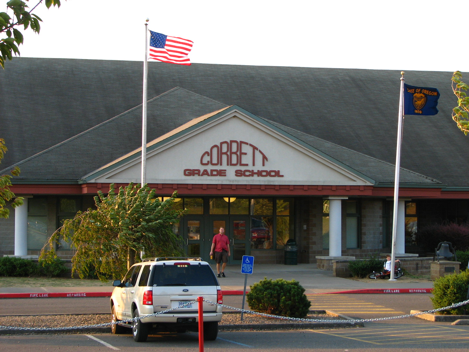
Corbett — Unincorporated community — The flags at Corbett Grade School demonstrate Corbett's signature east wind.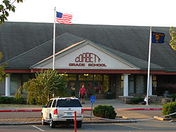 Location within the state of Oregon
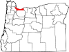
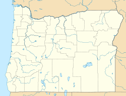
 Corbett
Coordinates: 45°31′55″N 122°17′24″W / 45.53194°N 122.29°WCoordinates: 45°31′55″N 122°17′24″W / 45.53194°N 122.29°W Country United States State Oregon County Multnomah Time zone Pacific (PST) (UTC-8) – Summer (DST) PDT (UTC-7) ZIP codes 97019 FIPS code GNIS feature ID Corbett is an unincorporated community on the Columbia River in eastern Multnomah County, Oregon, United States. It is located on the Historic Columbia River Highway (aka Crown Point Highway) between the Sandy River and Crown Point.
According to Oregon Geographic Names, Corbett was named for prominent pioneer Senator Henry W. Corbett. Senator Corbett purchased a farm in the area in 1885. After several name changes, the post office in the area was named "Corbett" in 1895. Corbett's ZIP Code is 97019.
Corbett School District runs the Corbett School, which serves grades K-12.
External links
Municipalities and communities of Multnomah County, Oregon Cities Fairview | Gresham | Lake Oswego‡ | Maywood Park | Milwaukie‡ | Portland‡ | Troutdale | Wood Village
Unincorporated
communitiesBonneville | Bridal Veil | Corbett | Dodson | Dunthorpe | Interlachen | Kings Heights | Latourell | Riverview | Riverwood | Springdale | Warrendale
Footnotes ‡This populated place also has portions in an adjacent county or counties
Categories:- Columbia River Gorge
- Historic Columbia River Highway
- Portland metropolitan area
- Unincorporated communities in Multnomah County, Oregon
- Multnomah County, Oregon geography stubs


Wikimedia Foundation. 2010.