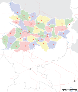
- Daudnagar
-
Daudnagar — city — Coordinates 25°02′N 84°24′E / 25.03°N 84.4°ECoordinates: 25°02′N 84°24′E / 25.03°N 84.4°E Country India State Bihar District(s) Aurangabad Population 37,977 (2001[update]) Time zone IST (UTC+05:30) Area
• 84 metres (276 ft)
Daudnagar is a city and a municipality in Aurangabad district in the state of Bihar, India. Daudnagar has old historical fort, This fort is situated on the eastern bank of the Sone River and was founded by Dhaud Khan, a Governor of Bihar under Aurangzeb in the 17th of Palamu fort from the Cheros; and it is said that while back from this conquest he camped here and founded the town known after him. The surrounding area was also granted to him as a Jagir by the emperor. Early in the 18th century Buchanan saw it as a flourishing town with cloth and opium factories. The sarai built by Daud Khan was, perhaps really meant to be a stronghold; for it was well fortified with a battlemented wall, two large gates and a moat all around. It was called as a sarai probably to avoid jealousy of the Government. The sarai was in good condition till a few years before 1896; for the Bengal list says that the gates were regularly shut every night. Ahmad Khan, grandson of Dhaud Khan, fortified the town which was then named as Ghausipur. The town also contains an old mosque and another sarai built by Ahmad Khan, which had mud gates. In the outlying part of the town called Ahmadganj is the tomb of Ahmad Khan.
Geography
Daudnagar is located at 25°02′N 84°24′E / 25.03°N 84.4°E[1]. It has an average elevation of 84 metres (275 feet). kuccha gali is one of the fanstice place in Daudnagar.Generatin of kings(Daud Khan's)are setteled there.Daudnagar is situated on the bank of Son River and NH 98 paasses through the town.
Demographics
As of 2001[update] India census[2], Daudnagar had a population of 37,977. Males constitute 52% of the population and females 48%. Daudnagar has an average literacy rate of 55%, lower than the national average of 59.5%: male literacy is 63% and, female literacy is 46%. In Daudnagar, 18% of the population is under 6 years of age..
References
- ^ Falling Rain Genomics, Inc - Daudnagar
- ^ "Census of India 2001: Data from the 2001 Census, including cities, villages and towns (Provisional)". Census Commission of India. Archived from the original on 2004-06-16. http://web.archive.org/web/20040616075334/http://www.censusindia.net/results/town.php?stad=A&state5=999. Retrieved 2008-11-01.
Cities and towns in Magadh Division Arwal district Aurangabad district Gaya district Jehanabad district Nawada district See also Magadh division topicsCities and towns
in other DivisionsCategories:- Cities and towns in Aurangabad district, Bihar
- Bihar geography stubs
Wikimedia Foundation. 2010.


