- Chandrapura
-
Chandrapura — town — Coordinates 23°45′N 86°07′E / 23.75°N 86.12°ECoordinates: 23°45′N 86°07′E / 23.75°N 86.12°E Country India State Jharkhand District(s) Bokaro Population 22,389 (2001[update]) Time zone IST (UTC+05:30) Footnotes- Industrial township of Chandrapura Thermal Power Station (CTPS) under Damodar Valley Corporation
Chandrapura is a census town in Bokaro district in the state of Jharkhand, India. The township, created for the Thermal Power Project, is situated beside the river Damodar. It is well connected by road and rail. As of now expansion of DVC's (Damodar Valley Corporation) Power Project is underway. BHEL (Bharat Heavy Electricals Ltd) has been contracted for the same. Two new units of 250MW each is being installed. The town has A to H type quarters and other sectors being Adi palli, Pashchim palli, Shimla colony, Darjeeling colony(All in Western region), Jharnadih(Southern Region), D-Type Colony(Eastern region),Nimia More region(Central Region) and Station Road/Pipradih (Northern Region)
Contents
Demographics
As of 2001[update] India census,[1] Chandrapura had a population of 22,389. Males constitute 54% of the population and females 46%. Chandrapura has an average literacy rate of 71%, higher than the national average of 59.5%; with male literacy of 78% and female literacy of 62%. 13% of the population is under 6 years of age. The main source of employment is through Damodar Valley Corporation's (DVC) thermal power plant. This serves as pool of well educated people hence attributing to the higher literacy rate here. Chandrapura railway junction, being one of the biggest intersection in the nation, has five routes which cater to the efficient transportation across India. Also this town holds the distinction of having highest standing tower(chimney of newly constructed CTPS unit) in India and 4th largest in Asia within its township area.
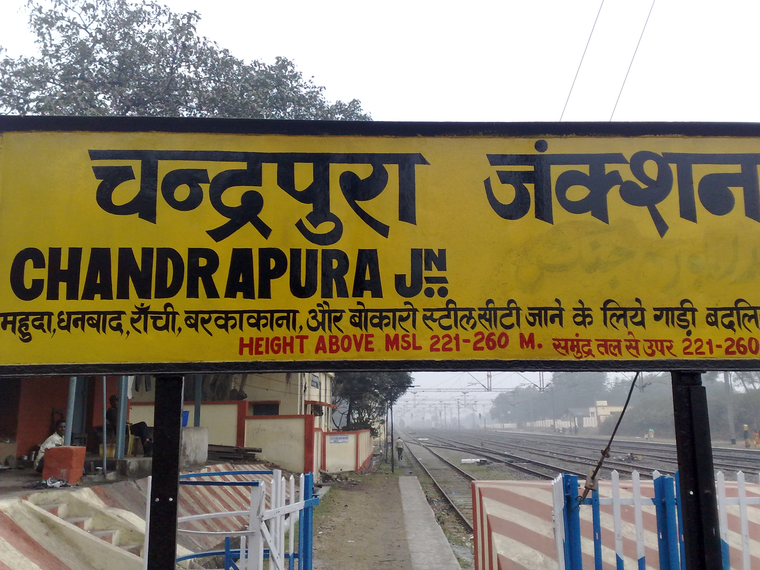
 Chandrapura Station
Shopping & Recreation
Chandrapura has a sprawling market place at nimiya more. The range of outlets vary from sports to grocery, bakery to fancy clothings, of course just to name a few types. Recently several new shops have been set up ascertaining the increasing population due to the installation of new units hence driving in more employees.
Chandrapura boasts of recreational clubs such as Sahitya Parishad, Urdu Majlis and Officers' club in D-type locality and also Baisakhi near the post office. The greenery spread all across the town captures one's soul and mind alike. Deer park, a sanctuary for deer, is located in the heart of the town. A perfect blend of industrialization and the love for nature and its habitat.Chandrapura is surrounded by a group of small mountains.
Education Facility
Chandrapura has a set of good educational institutions, namely, De Nobili, Kendriya Vidyalaya and DVC Inter College & Mahila Maha Vidyalaya. All of them contribute to an all-round development of the kids in the township. Inter-school competition helps the student to have a better idea of this competitive world and prepares them to excel in all discipline leading from science to arts. Full emphasis is given to ensure that quality education is given to every individual child.
References
- ^ "Census of India 2001: Data from the 2001 Census, including cities, villages and towns (Provisional)". Census Commission of India. Archived from the original on 2004-06-16. http://web.archive.org/web/20040616075334/http://www.censusindia.net/results/town.php?stad=A&state5=999. Retrieved 2008-11-01.
Categories:- Cities and towns in Bokaro district
- Jharkhand geography stubs


Wikimedia Foundation. 2010.