- Oxborough
-
Coordinates: 52°34′53″N 0°34′15″E / 52.5814°N 0.5708°E
Oxborough 
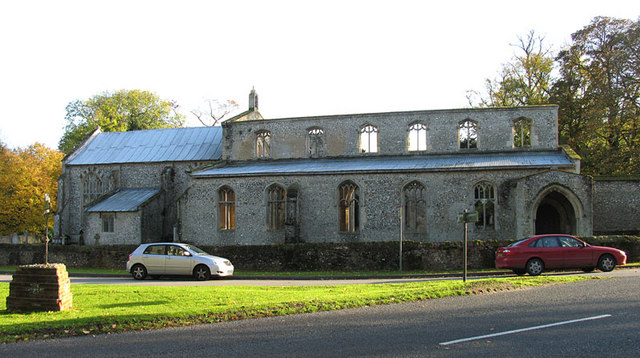
St. John's church
 Oxborough
Oxborough shown within NorfolkArea 13.24 km2 (5.11 sq mi) Population 240 - Density 18 /km2 (47 /sq mi) OS grid reference TF742012 Parish Oxborough District Breckland Shire county Norfolk Region East Country England Sovereign state United Kingdom Post town KING'S LYNN Postcode district PE33 Police Norfolk Fire Norfolk Ambulance East of England EU Parliament East of England List of places: UK • England • Norfolk Oxborough is a village and civil parish in the English county of Norfolk. It covers an area of 13.024 km2 (5.029 sq mi) and had a population of 240 in 106 households as of the 2001 census.[1] For the purposes of local government, it falls within the district of Breckland.
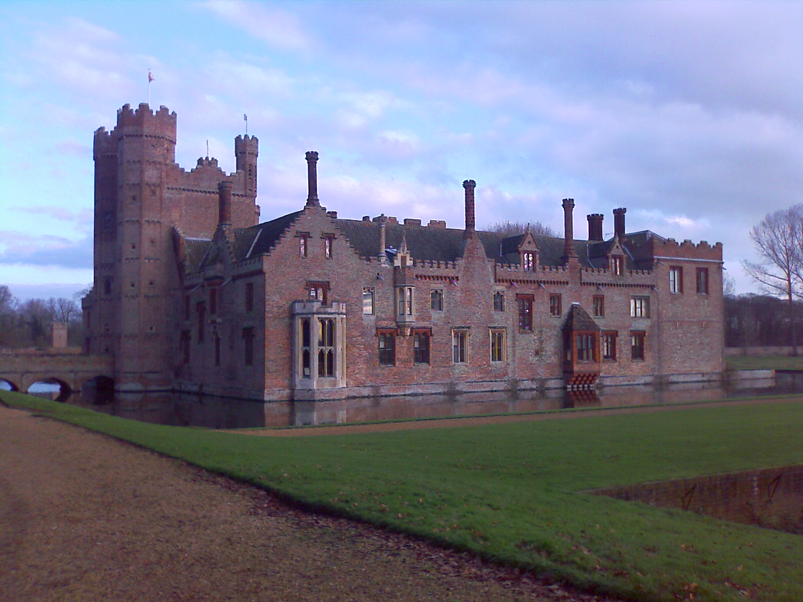
Oxborough is famous for its church, and the manor house Oxburgh Hall.
Contents
St. John's church
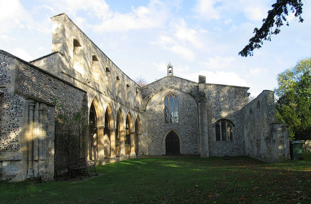
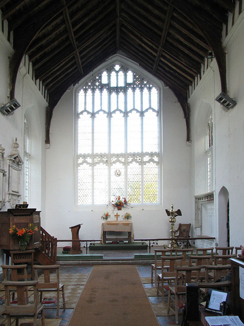
In 1948, the tower and spire of St. Johns collapsed onto the church below, destroying the south side of the nave. This was due to the weight of the bells, coupled with high winds. The south chapel contains a rare terracotta tomb, which was undamaged in the collapse. This tomb is unique in England, and is evidence of the Roman Catholicism of the Bedingfeld family.
-
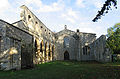
The ruined nave
-
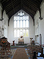
The east end
-
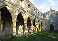
The north wall
-
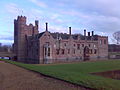
Oxburgh Hall
Oxburgh Hall
Main article: Oxburgh HallOxburgh Hall is the ancient ancestral home of the Bedingfeld family, and is now owned by the National Trust.
Notes
- ^ Census population and household counts for unparished urban areas and all parishes. Office for National Statistics & Norfolk County Council (2001). Retrieved 20 June 2009.
External links
Categories:- Villages in Norfolk
- Civil parishes in Norfolk
- Norfolk geography stubs
-


Wikimedia Foundation. 2010.