- Mudchute
-

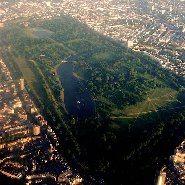
 Mudchute shown on a map of Greater London
Mudchute is the name of a locality just south of Canary Wharf on the Isle of Dogs in Docklands, London, England. The name of the area is in testament to the engineering overspill when Millwall Dock was being constructed in the 1860s. Spoil from the excavation of the Dock, and silt from its channels and waterways were dumped on nearby land, using a conveyor system.
The end of this system, where the rich Thames mud was deposited, was literally a mud chute, and the area of fertile, hilly land thus created became known as "The Mudchute". This area quickly established itself as a wildlife habitat and adventuring location for local children. Over time this developed into a park and a small city farm, which proved popular with dock workers and their families.
Backlash
In 1974 the Greater London Council gave permission for the construction of a high-rise housing estate on The Mudchute, and the resulting backlash from the local population lead to the 1977 creation of the Mudchute Association, a registered charity whose primary objective is "Management of the park and farm with special consideration for animals, wildlife, visitors, trainees & staff. To maintain the financial sustainability of the project and to respond to local needs and initiatives."
The housing estates of Clipper Quay and Mill Quay are located nearby.

The Docklands Sailing and Watersports Centre on Millwall Dock was set up in 1989 by the London Docklands Development Corporation and the Sports Council at a cost of £1.2 million.
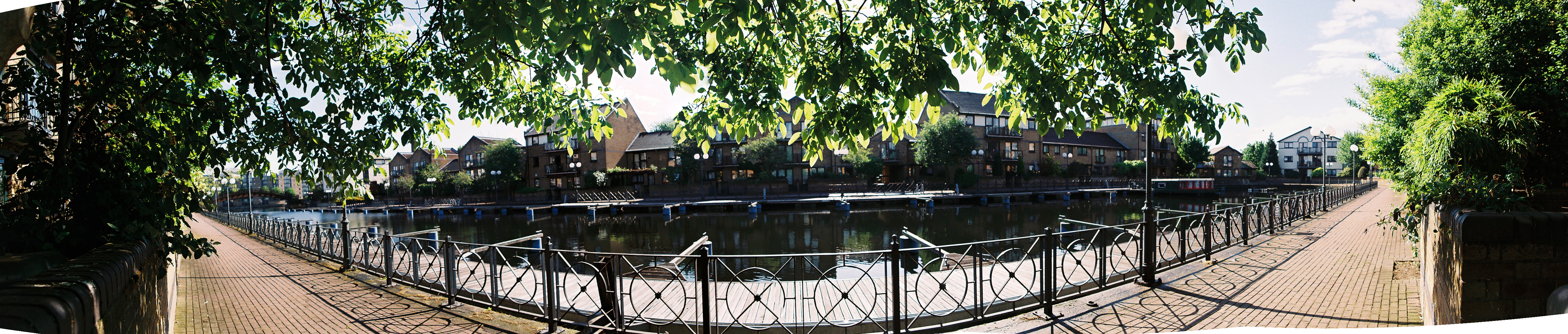
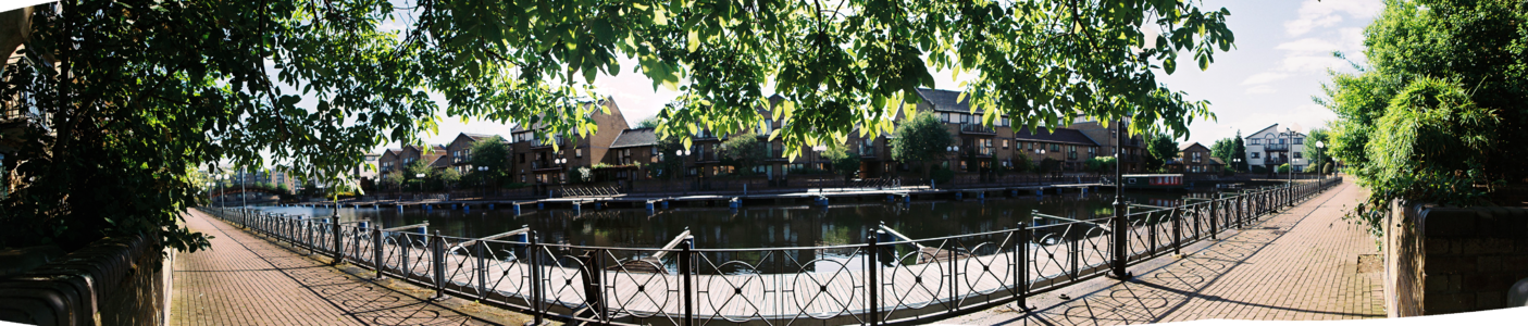 Panorama of the moorings in Mudchute, London.
See also
External links
- Mudchute Park and Farm
- Mudchute DLR Station
- Docklands Sailing and Watersports Centre
- Mill Quay Residents Association
Parks and open spaces by London borough Barking and Dagenham · Barnet · Bexley · Brent · Bromley · Camden · Croydon · Ealing · Enfield · Greenwich · Hackney · Hammersmith and Fulham · Haringey · Harrow · Havering · Hillingdon · Hounslow · Islington · Kensington and Chelsea · Kingston · Lambeth · Lewisham · Merton · Newham · Redbridge · Richmond · Southwark · Sutton · Tower Hamlets · Waltham Forest · Wandsworth · Westminster
Categories:- Parks and open spaces in Tower Hamlets
- London Borough of Tower Hamlets
- City farms in the United Kingdom


Wikimedia Foundation. 2010.