- New York State Route 25B
-
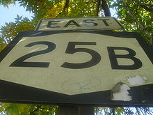
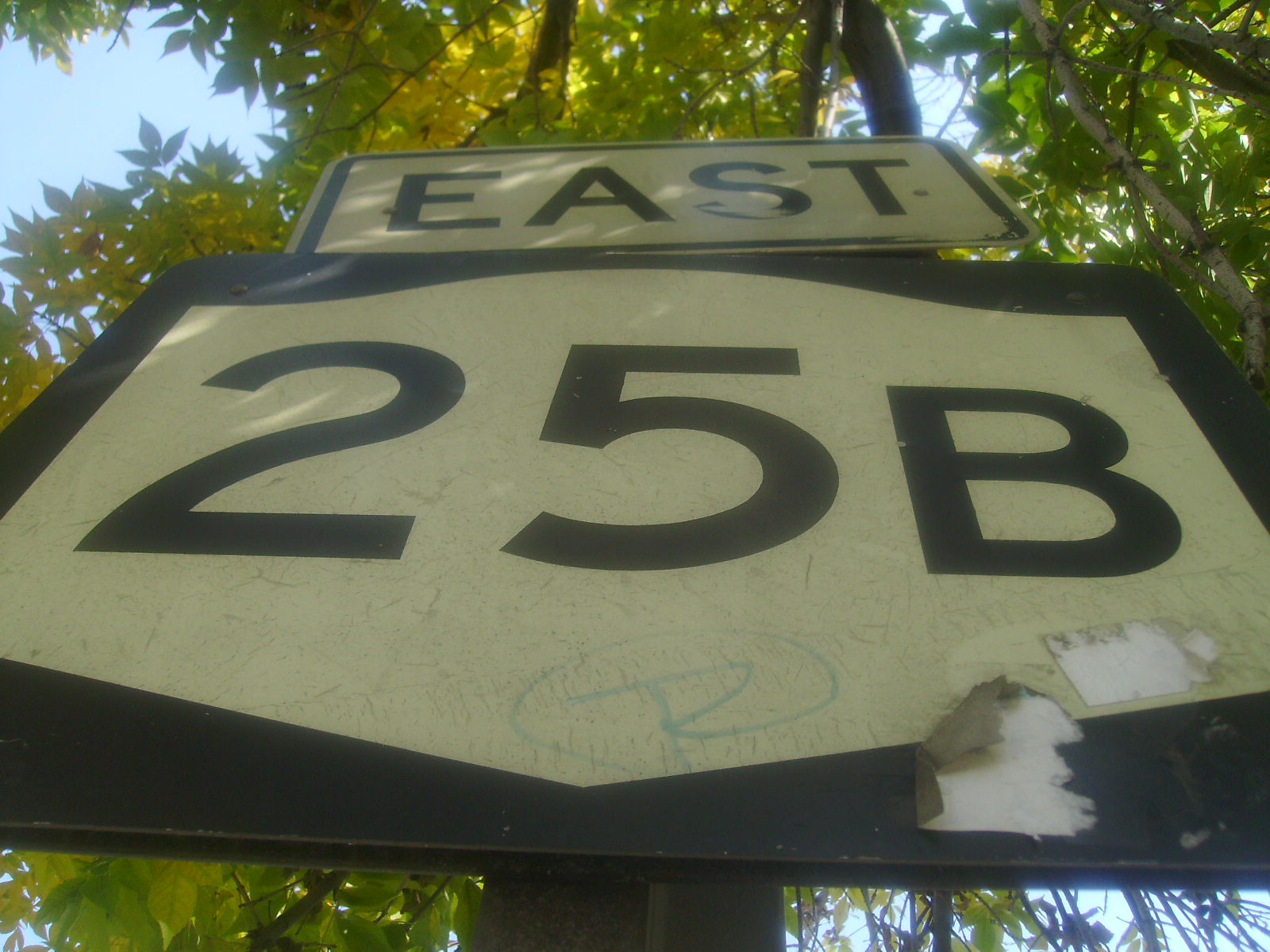
NYS Route 25B
Hillside Avenue Route information Auxiliary route of NY 25 Maintained by NYSDOT, Nassau County and NYCDOT Length: 7.25 mi[3] (11.67 km) Existed: ca. 1935[1][2] – present Major junctions West end:  NY 25 in Queens Village
 Cross Island Parkway in Bellerose
East end: NY 25 in WestburyLocation Counties: Queens, Nassau Highway system Numbered highways in New York
Interstate • U.S. • N.Y. (former) • Reference • County←  NY 25A
NY 25C  →
→New York State Route 25B (NY 25B) is a 7.25 mile (11.67 km) long east–west state highway located on Long Island in the U.S. state of New York. The western terminus of the route is at NY 25 in Queens. The eastern terminus is at an interchange with NY 25 in Westbury. The roadway is named Hillside Avenue for its entire length, except for a brief portion in East Williston, where it is called East Williston Avenue.
The route acts as a northern alternate to NY 25, running parallel to its parent for its entire length. Unlike NY 25, which is four lanes wide for most of its length between Queens and Westbury, NY 25B has a number of lane configurations, including six lanes in Queens, four lanes in western Nassau County, and two lanes in East Williston. The route also connects NY 25 to the villages of Williston Park and East Williston.
Contents
Route description
Queens
 Fading NY 25B shield in Queens
Hillside Avenue changes designations from NY 25 to NY 25B at an intersection with Braddock Avenue in the Queens neighborhood of Queens Village. Here, NY 25 turns right onto Braddock while NY 25B begins and follows Hillside Avenue to the northeast. The road, a six-lane divided highway with a large, tree-lined median in the vicinity of the junction with Braddock Avenue, begins to narrow after intersecting 229th Street, passing the Martin Van Buren High School as the median is reduced to a single turning lane. At 232nd Street, the street turns to the east for three blocks before curving to the southeast at Winchester Boulevard.
The lane composition of NY 25B remains the same as it proceeds eastward through heavily residential areas of Queens, maintaining a width of six lanes with a turning lane acting as the divider between opposing traffic. Roughly 0.6 miles (1.0 km) from Winchester Boulevard, NY 25B, facing northeast once more, intersects the west (southbound) frontage road of the Cross Island Parkway in Bellerose. Shortly after passing over the six-lane parkway, Hillside Avenue meets the eastern (northbound) frontage road. East of the parkway and surrounded by homes once again, NY 25B heads northeast on a linear path for a half-mile to an intersection with the Little Neck Parkway. Upon crossing the parkway, the structures along Hillside Avenue shift from residential to commercial, a trend that remains in place to the Nassau County line.
Nassau County
At the county line, NY 25B breaks from its previous east-northeast alignment and takes a more pronounced northeast routing through New Hyde Park. The road narrows as well, decreasing to four lanes excluding the center turning lane, with an extended shoulder taking the place of the two lost lanes. A half-mile from the county line, NY 25B enters North New Hyde Park, intersecting Lakeville Road in the center. Two blocks from Lakeville, the commercial buildings give way to residential dwellings for seven blocks before returning at the intersection of New Hyde Park Road and Hillside Avenue.
Past New Hyde Park Road, the buildings surrounding NY 25B become a balanced mix of commercial and residential structures. Less than a quarter of a mile from New Hyde Park Road, the road makes a turn eastward, passing to the north of the Hillside Public Library as it curves to the right. After three blocks of homes, a flurry of businesses precede a junction with Marcus Avenue, the former routing of NY 25C. The commercial presence continues for two blocks eastward before shifting back to residential structures. The four-lane NY 25B, along with a separate, parallel Hillside Avenue South, continue eastward through blocks of primarily homes to Herricks Road, where the composition of structures along NY 25B becomes a mix of commercial buildings and residential dwellings once more. Hillside Avenue continues on, entering Williston Park. On the eastern edge of the village, NY 25B narrows to two lanes as it crosses the Oyster Bay Branch of the Long Island Rail Road and enters East Williston, where the surroundings shift to residential for the final time.
In the center of the village, NY 25B intersects Roslyn Road before passing by the North Side School two blocks to the east. Roughly a half-mile from the school, NY 25B enters the village of Old Westbury and passes over the eight-lane Northern State Parkway with no connection between the two. The missing link is filled by way of Glen Cove Road, which NY 25B intersects a mere 150 yards (140 m) from the parkway, and Jericho Turnpike (NY 25), accessible via Glen Cove Road. East of Glen Cove Road, NY 25B enters Westbury and begins to develop a large median in preparation for an interchange with NY 25 roughly 0.3 miles (0.5 km) to the east. Just west of the interchange, NY 25B intersects Bacon Road. 100 yards (91 m) from the intersection, NY 25B crosses over NY 25 west and enters the median of NY 25 prior to merging with NY 25 east, ending the NY 25B designation.
History
New York City did not have posted routes until mid-December 1934. Several routes that had ended at the eastern city line (the Queens–Nassau County border), such as NY 25, were extended westward at this time.[1] By the following year, NY 25B was assigned to the portion of Hillside Avenue between Braddock Avenue in Queens and Jericho Turnpike in Westbury, serving as a northerly alternate route of NY 25 between the two locations.[2] The interchange with NY 25 at the eastern terminus was built in 1967.[4]
Major intersections
County Location Mile[3] Destinations Notes Queens Queens Village 0.00 NY 25Bellerose 1.20 Cross Island ParkwayExit 28A (Cross Island Pkwy) Nassau New Hyde Park 4.00 Marcus Avenue Former eastern terminus of NY 25C Old Westbury 6.79 Glen Cove Road To Northern State Parkway and NY 25 west Westbury 7.25 NY 25 east1.000 mi = 1.609 km; 1.000 km = 0.621 mi References
- ^ a b "Mark Ways in the City". The New York Times. December 16, 1934.
- ^ a b Sun Oil Company (1935). Road Map & Historical Guide – New York (Map). Cartography by Rand McNally and Company.
- ^ a b "2008 Traffic Volume Report for New York State" (PDF). New York State Department of Transportation. June 16, 2009. p. 78. https://www.nysdot.gov/divisions/engineering/technical-services/hds-respository/NYSDOT%20TVR%202008%20by%20Route.pdf. Retrieved January 30, 2010.
- ^ National Bridge Inventory, a database compiled by the United States Department of Transportation Federal Highway Administration, available at www.nationalbridges.com. Accessed March 31, 2007.
External links
- New York Routes – New York State Route 25B
- New York State Highway Termini – New York State Route 25B
- NY 25B (Greater New York Roads)
Major streets of Queens Astoria Boulevard · Atlantic Avenue · Beach Channel Drive · Conduit Boulevard · Cross Bay Boulevard ·
Ditmars Boulevard · Farmers Boulevard · Flushing Avenue · Francis Lewis Boulevard · Grand Avenue · Hempstead Avenue · Hillside Avenue · Jamaica Avenue · Kissena Boulelvard · Linden Boulevard · Main Street · Merrick Boulevard · Metropolitan Avenue · Myrtle Avenue · Northern Boulevard · Queens Boulevard · Rockaway Boulevard · Rockaway Beach Boulevard · Roosevelt Avenue · Springfield Boulevard · Steinway Street · Union Turnpike · Woodhaven BoulevardCategories:- State highways in New York
- Streets in Queens
- Transportation in Nassau County, New York

Wikimedia Foundation. 2010.