- Metropolitan Avenue
-
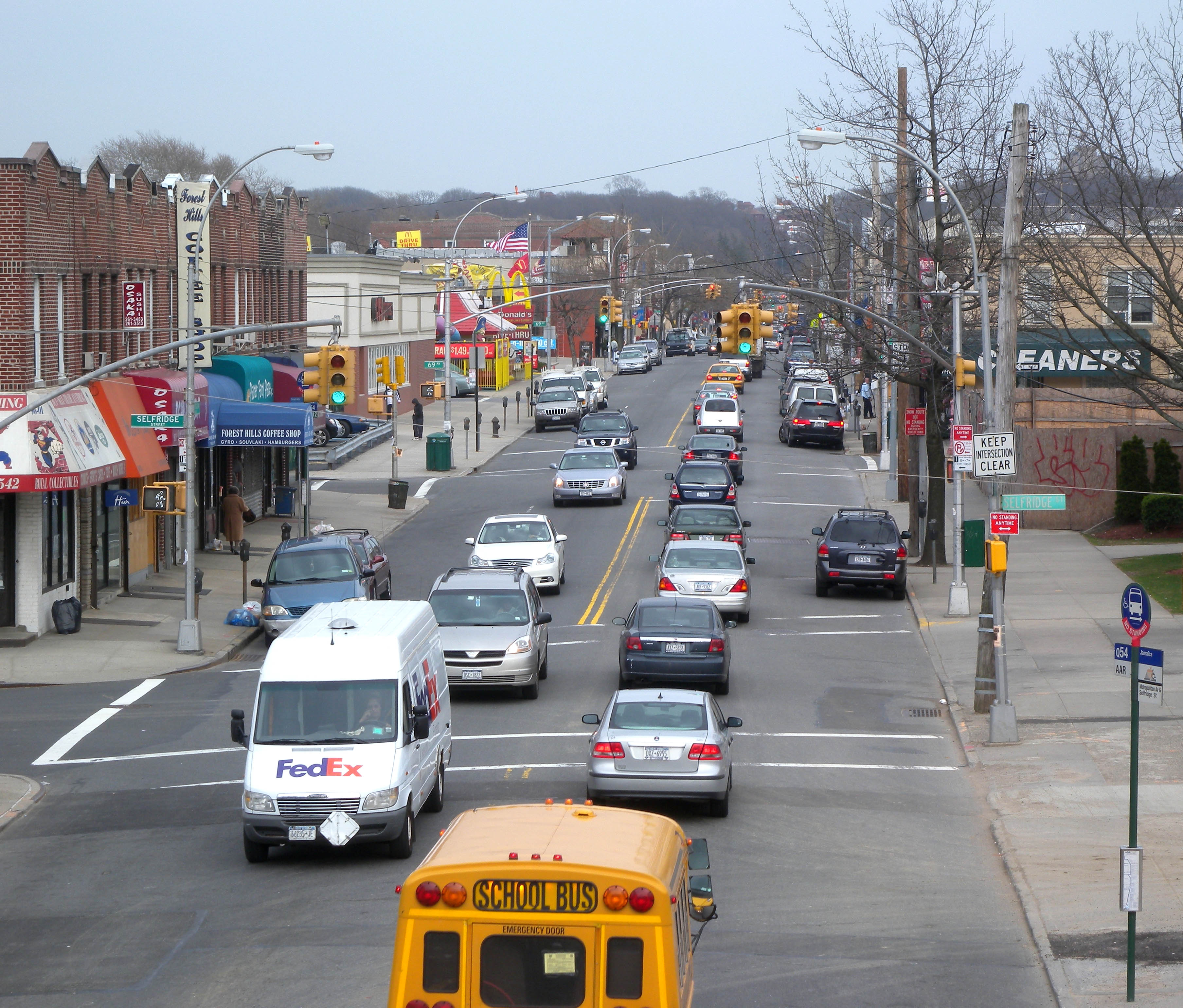
 Forest Hills
Metropolitan Avenue is a major east-west street in Queens and northern Brooklyn. Its western end is at the East River in Williamsburg, Brooklyn, and the eastern end at Jamaica Avenue in Jamaica, Queens.
Metropolitan Avenue runs mainly through the neighborhoods of Williamsburg, East Williamsburg in Brooklyn and Ridgewood, Maspeth, Middle Village, Glendale, Forest Hills, Kew Gardens, Richmond Hill and Jamaica in Queens. The avenue marks the northern borders of Ridgewood and Glendale, and the southern borders of Maspeth and Middle Village. This four-lane avenue intersects Flushing Avenue, Fresh Pond Road, Woodhaven Boulevard, and the Jackie Robinson Parkway, and passes through Forest Park. The Metropolitan Avenue (IND Crosstown Line) (the G Line), The Canarsie Line (L Line), Middle Village – Metropolitan Avenue (BMT Myrtle Avenue Line) (the M Line) and Jamaica – Van Wyck (IND Archer Avenue Line) (the E and J Lines) subway stations serve Metropolitan Avenue.
A public high school, Queens Metropolitan High School on the avenue opened in Fall, 2010.[1][2]
History
Originally an Indian trail, Metropolitan Avenue was constructed in 1816 as the Williamsburgh and Jamaica Turnpike[3], a toll road which connected the then villages of Williamsburgh (as it was originally spelled) and Jamaica, New York. The road became a farmer's and stage coach route to the Williamsburgh ferries across the East River to Manhattan[4]. The easternmost segment of the present avenue in Williamsburg initially had several names before it was joined to Metropolitan Avenue circa 1858[5]: Bushwick Street, then Woodhull Street, and, later, North Second Street. The City of Brooklyn acquired Metropolitan Avenue from the Williamsburgh and Jamaica Turnpike Road Company in 1872[6]. Several of the neighborhoods through which it passes originated as villages along its length.
References
- ^ http://www.nydailynews.com/ny_local/education/2009/12/24/2009-12-24_2_new_schools__principals_coming_to_forest_hills_campus.html?r=ny_local
- ^ http://www.nypost.com/p/news/local/queens/dept_of_ed_eyeing_new_queens_schools_9906kNzTiCfcsWfgJRZjQN
- ^ Jackson, K.T. (ed.) (1995). The Encyclopedia of New York City. New Haven, CT: Yale
- ^ http://kewgardenshistory.com/ss-beginning-0600.html
- ^ www.brooklynrevealed.com
- ^ http://www.nyc.gov/html/dot/html/bridges/met.shtml
External links
Coordinates: 40°42′50″N 73°55′26.6″W / 40.71389°N 73.924056°WMajor streets of Brooklyn Atlantic Avenue · Bay Parkway · Bedford Avenue · Broadway · Conduit Boulevard · Coney Island Avenue · Cropsey Avenue · DeKalb Avenue · Eastern Parkway · Fifth Avenue · Flatbush Avenue · Flatlands Avenue · Flushing Avenue · Fountain Avenue · Fourth Avenue · Fulton Street · Grand Street · Kings Highway · Knapp Street · Linden Boulevard · Manhattan Avenue · Metropolitan Avenue · Myrtle Avenue · Nostrand Avenue · Ocean Avenue · Ocean Parkway · Pennsylvania Avenue · Rockaway Parkway · Stillwell Avenue · Third Avenue · Utica Avenue · Vanderbilt AvenueList of eponymous streets in New York City Major streets of Queens Astoria Boulevard · Atlantic Avenue · Beach Channel Drive · Conduit Boulevard · Cross Bay Boulevard ·
Ditmars Boulevard · Farmers Boulevard · Flushing Avenue · Francis Lewis Boulevard · Grand Avenue · Hempstead Avenue · Hillside Avenue · Jamaica Avenue · Kissena Boulelvard · Linden Boulevard · Main Street · Merrick Boulevard · Metropolitan Avenue · Myrtle Avenue · Northern Boulevard · Queens Boulevard · Rockaway Boulevard · Rockaway Beach Boulevard · Roosevelt Avenue · Springfield Boulevard · Steinway Street · Union Turnpike · Woodhaven BoulevardList of eponymous streets in New York City Categories:- Streets in Queens
- Streets in Brooklyn
Wikimedia Foundation. 2010.