- Westbrookville, New York
-
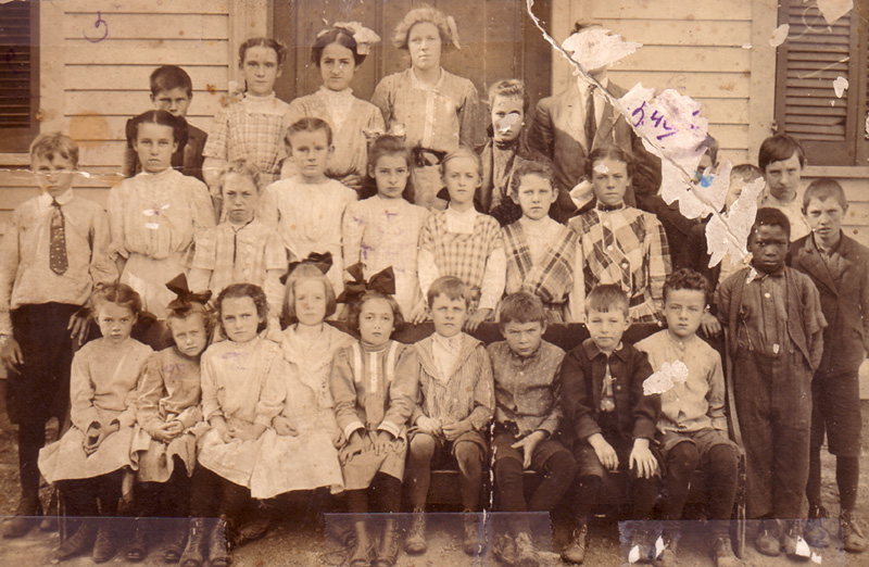
Westbrookville, New York — Unincorporated area — Westbrookville school circa 1908-1910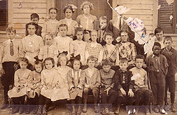 Location within the state of New York
 Westbrookville, New York
Coordinates: 41°29′55″N 74°33′31″W / 41.49861°N 74.55861°WCoordinates: 41°29′55″N 74°33′31″W / 41.49861°N 74.55861°W Country United States State New York Elevation 505 ft (154 m) Time zone Eastern (EST) (UTC-5) – Summer (DST) EDT (UTC-4) ZIP code 12785 GNIS feature ID 970894 Westbrookville is a hamlet in the town of Deerpark in Orange County, New York, United States,[1][2][3][4] along US 209. Westbrookville was named for Dirck Van Keuren Westbrook, an early settler. Fort Westbrook, dating back to the American Revolution, is extant.[2] The 1900-1930 US Census lists it as part of Mamakating in Sullivan County, New York. Situated between Port Jervis and Wurtsboro, it is close to the borders of Pennsylvania and New Jersey. It is located within the Port Jervis City School district. It contains many small businesses and Westbrookville Cemetery.
The city once housed the J. E. Ashworth & Sons blanket mill.[5]
References
- ^ "Deerpark". The Upper Delaware Scenic Byway. http://www.upperdelawarescenicbyway.org/history/towns/deerpark/deerpark.php. Retrieved 2007-09-25. "The Town of Deerpark is a rural town in the southwestern corner of Orange County, comprising seven Hamlets: Cahoonzie, Cuddebackville, Godeffroy, Huguenot, Rio, Sparrowbush and Westbrookville. Nestled among lakes, streams, rivers and mountains, bounded by the Delaware, Mongaup and Neversink Rivers, the Shawangunk Mountains, also known as the “Gunks,” and the wetlands of the Basha Kill the Town of Deerpark offers a variety of geographical features."
- ^ a b "Deerpark". Deerpark, New York. http://www.townofdeerpark.org/history.html. Retrieved 2007-09-25. "Seven hamlets, Cahoonzie, Cuddebackville, Godeffroy, Huguenot, Rio, Sparrowbush and Westbrookville make up the Town of Deerpark. The origins of theses names reflect the history of the town."
- ^ Expedia lists it as Westbrookville, Orange County, New York, United States
- ^ USGS in Geographic Names Information System lists it as: Westbrookville; 970894; Populated Place; Orange County, New York; 412955N 0743331W
- ^ "James E. Ashworth". Times Herald-Record. 1910. "... came to United States as a young man. Manufactured horse blankets in Vermont. Came to this place (Westbrookville, New York) had a heavy loss due to fire. After the fire he went to Whippany, New Jersey. Later he returned to this place, engaged in the saw mill business and later rebuilt the mill and conducted a large blanket manufacturing business."
Images
-
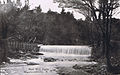
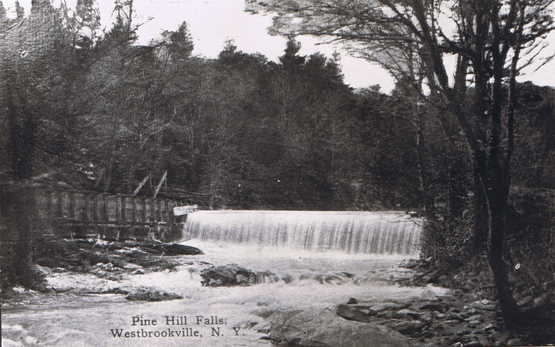
Pine Hill Falls
External links
Municipalities and communities of Orange County, New York Cities 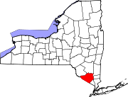
Towns Blooming Grove | Chester | Cornwall | Crawford | Deerpark | Goshen | Greenville | Hamptonburgh | Highlands | Minisink | Monroe | Montgomery | Mount Hope | New Windsor | Newburgh | Tuxedo | Wallkill | Warwick | Wawayanda | Woodbury
Villages Chester | Cornwall-on-Hudson | Florida | Goshen | Greenwood Lake | Harriman | Highland Falls | Kiryas Joel | Maybrook | Monroe | Montgomery | Otisville | South Blooming Grove | Tuxedo Park | Unionville | Walden | Warwick | Washingtonville | Woodbury
CDPs Other
hamletsAmity | Arden | Bellvale | Bullville | Circleville | Howells | Little Britain | Michigan Corners | Mountain Lodge Park | Mountainville | New Hampton | Pine Island | Ridgebury | Slate Hill | Sugar Loaf | Thompson Ridge | Westbrookville
Categories:- Populated places in Orange County, New York
- Hamlets in New York
- Westbrookville, New York
- Poughkeepsie–Newburgh–Middletown metropolitan area


Wikimedia Foundation. 2010.