- Scotchtown, New York
Infobox Settlement
official_name = Scotchtown, New York
settlement_type = CDP
nickname =
motto =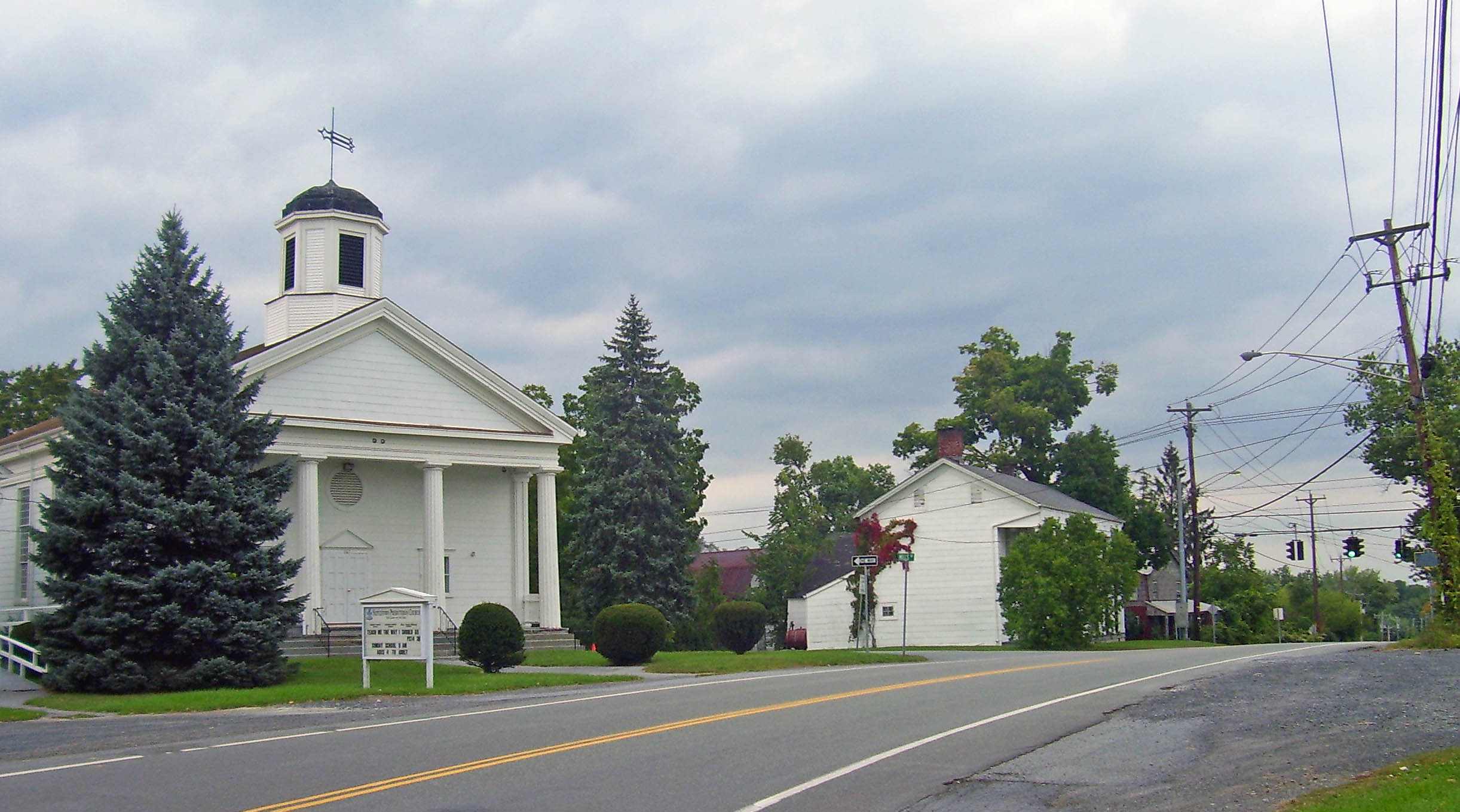
imagesize = 300px
image_caption = Church and other buildings at the historic center of Scotchtown, at Scotchtown Road and Goshen Turnpike
image_|pushpin_
pushpin_label_position =
pushpin_map_caption =Location within the state of New York
pushpin_mapsize =
mapsize =
map_caption =
mapsize1 =
map_caption1 =subdivision_type = Country
subdivision_name =United States
subdivision_type1 = State
subdivision_name1 =New York
subdivision_type2 = County
subdivision_name2 = Orange
government_footnotes =
government_type =
leader_title =
leader_name =
leader_title1 =
leader_name1 =
established_title =
established_date =area_footnotes =
area_magnitude =
area_total_km2 = 11.0
area_land_km2 = 11.0
area_water_km2 = 0.0
area_total_sq_mi = 4.2
area_land_sq_mi = 4.2
area_water_sq_mi = 0.0population_as_of = 2000
population_footnotes =
population_total = 8954
population_density_km2 = 816.4
population_density_sq_mi = 2114.6timezone = Eastern (EST)
utc_offset = -5
timezone_DST = EDT
utc_offset_DST = -4
elevation_footnotes =
elevation_m = 220
elevation_ft = 722
latd = 41 |latm = 28 |lats = 24 |latNS = N
longd = 74 |longm = 21 |longs = 59 |longEW = Wpostal_code_type =
postal_code =
area_code =
blank_name = FIPS code
blank_info = 36-65882
blank1_name = GNIS feature ID
blank1_info = 0964670
website =
footnotes =Scotchtown is a hamlet (and
census-designated place ) in Orange County,New York ,United States . The population was 8,954 at the 2000 census. It has theZIP Code 10941.Scotchtown is in the Town of Wallkill, east of the City of Middletown.
Geography
Scotchtown is located at coor dms|41|28|24|N|74|21|59|W|city (41.473199, -74.366334)GR|1.
According to the
United States Census Bureau , the CDP has a total area of 4.2 square miles (11.0 km²), all land.Demographics
As of the
census GR|2 of 2000, there were 8,954 people, 3,211 households, and 2,334 families residing in the CDP. Thepopulation density was 2,114.6 per square mile (817.3/km²). There were 3,345 housing units at an average density of 789.9/sq mi (305.3/km²). The racial makeup of the CDP was 76.38% White, 11.48% African American, 0.26% Native American, 3.54% Asian, 0.04% Pacific Islander, 4.65% from other races, and 3.65% from two or more races. Hispanic or Latino of any race were 14.71% of the population.There were 3,211 households out of which 39.0% had children under the age of 18 living with them, 56.8% were married couples living together, 12.5% had a female householder with no husband present, and 27.3% were non-families. 21.3% of all households were made up of individuals and 4.9% had someone living alone who was 65 years of age or older. The average household size was 2.78 and the average family size was 3.29.
In the CDP the population was spread out with 27.7% under the age of 18, 7.7% from 18 to 24, 31.9% from 25 to 44, 25.2% from 45 to 64, and 7.5% who were 65 years of age or older. The median age was 35 years. For every 100 females there were 94.7 males. For every 100 females age 18 and over, there were 90.1 males.
The median income for a household in the CDP was $53,460, and the median income for a family was $59,439. Males had a median income of $44,482 versus $29,939 for females. The
per capita income for the CDP was $22,282. About 5.3% of families and 5.2% of the population were below thepoverty line , including 4.5% of those under age 18 and 9.6% of those age 65 or over.Michigan Corners
Michigan Corners (coor dms|41|28|01|N|074|20|52|W) is a
hamlet near Scotchtown east of Middletown, located at the corner ofNew York State Route 211 and Goshen Turnpike (Orange County Route 110).There is no sign marking Michigan Corners (except for a Michigan Corners Deli nearby), although it does appear on maps. According to legend, the hamlet got its name in the mid-19th century when a landowner was unable to pay his property taxes. He claimed he would go west to
Michigan to earn the money...and never returned.References
External links

Wikimedia Foundation. 2010.