- Ōmihachiman, Shiga
-
Ōmihachiman
近江八幡市— City — Old city view from Mt. Hachiman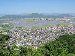

FlagLocation of Ōmihachiman in Shiga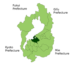

 Ōmihachiman
Coordinates: 35°03′32″N 135°59′40″E / 35.05889°N 135.99444°ECoordinates: 35°03′32″N 135°59′40″E / 35.05889°N 135.99444°E Country Japan Region Kansai Prefecture Shiga Government - Mayor Hidemasa Fujitani (since December 2006) Area - Total 76.97 km2 (29.7 sq mi) Population (2010) - Total 81,730 - Density 1,061.84/km2 (2,750.2/sq mi) Time zone Japan Standard Time (UTC+9) City symbols - Tree Azalea, Sakura - Flower Salvia Phone number 0748-33-3111 Address 236 Sakuragi-chō, Ōmihachiman-shi, Shiga-ken
523-8501Website City of Ōmihachiman Ōmihachiman (近江八幡市 Ōmihachiman-shi) is a city in Shiga Prefecture, Japan.
The city was founded on March 31, 1954. In the quinquennial census of 2010, it had a population of 81,730 (2005: 80,610).[1] With a total area of 76.97 km2 (30 sq mi), the population density is 1,062 persons per km².
On March 21, 2010, the town of Azuchi from Gamō District merged with the city to create the current city of Ōmihachiman.
Contents
The naming
"Ōmihachiman" means "Hachiman in Ōmi". This is caused when Hachiman Town (the forerunner of this city) became a city, there was the city of Yahata in Fukuoka Prefecture. In Japanese, "Hachiman" and "Yahata" are written by same kanji, so "Ōmi" was added to avoid being confused. "Hachiman" is the Shinto god of war. Ironically, from the western point of view, his symbol is the dove.
History
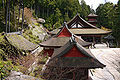
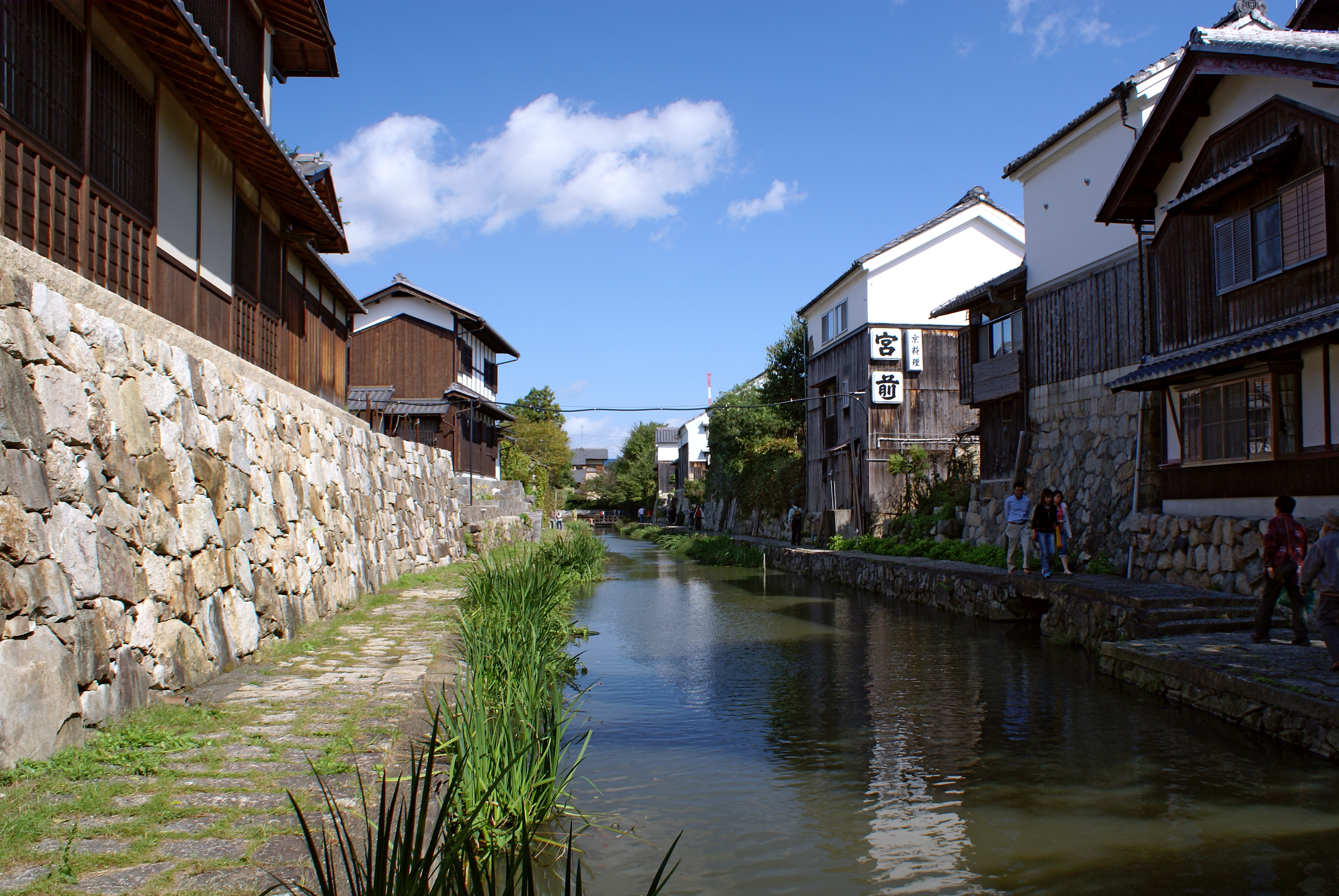
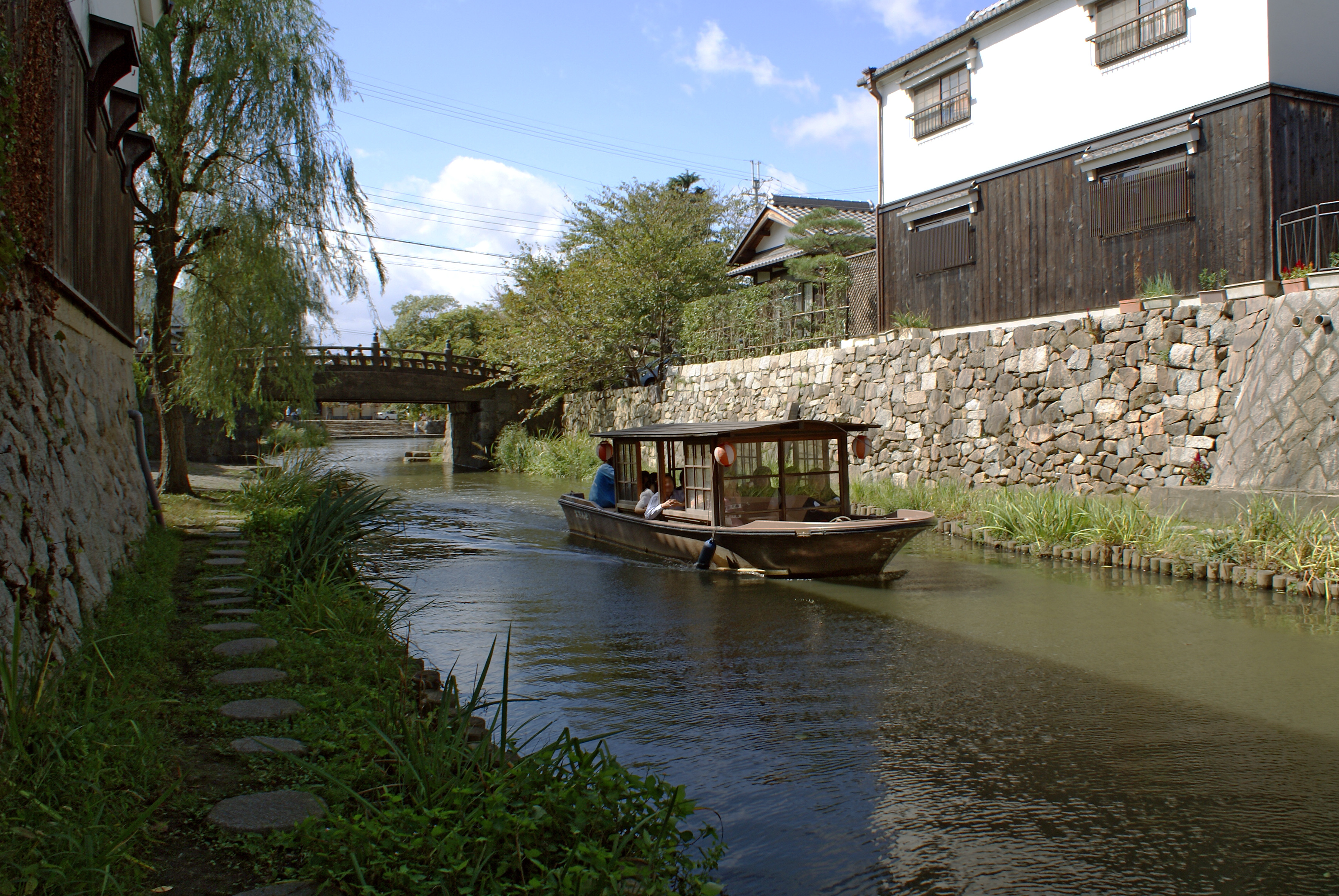
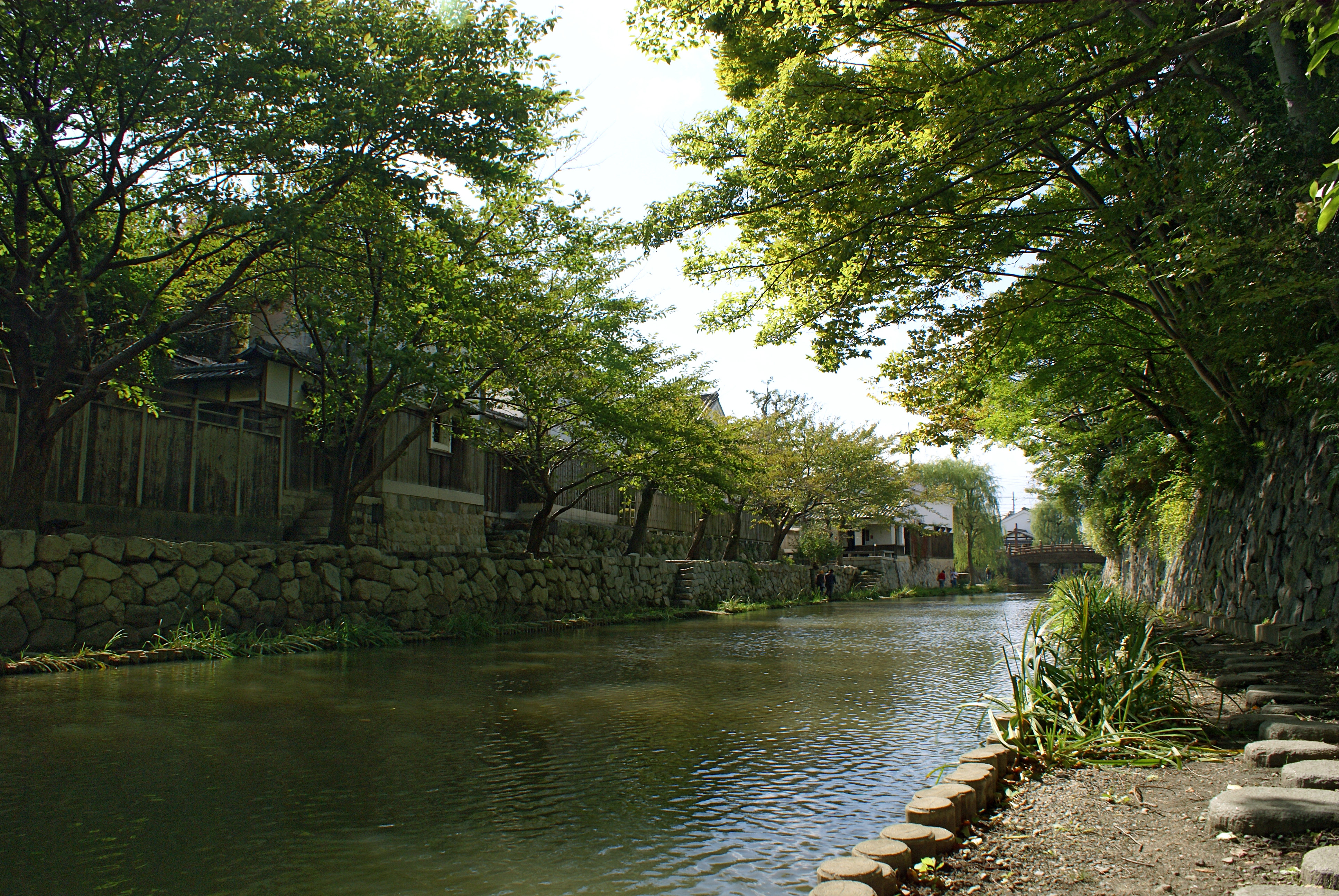
Ōmihachiman had been a developed commercial town even since Toyotomi Hidetsugu built a castle and gathered many merchants in the last part of 16th century. Fomer merchant's residences and a canal used for transport are preserved in an old city area, designated a Preservation District for Groups of Traditional Buildings[2] and an Important Cultural Landscape.[3]
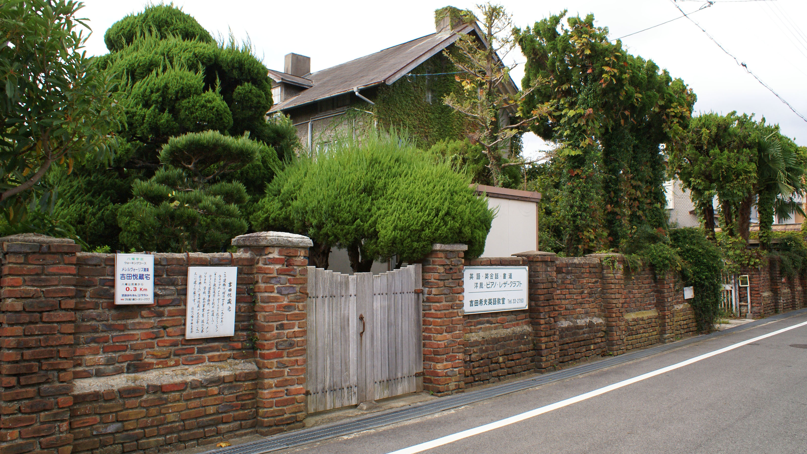
In 1905, an American architect William Merrell Vories came to Ōmihachiman as an English language teacher at commercial high school. Two years later he resigned the original work, but he spent most of his productive life here. He handed down western-style buildings, a pharmaceutical company, an educational foundation and a hospital to the city.
Sister cities
Within Japan
Outside Japan
- Grand Rapids, Michigan, USA
- Leavenworth, Kansas, USA
- Miryang, Gyeongsangnam-do, South Korea
Photo gallery
-
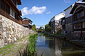
The canal in old city area
-

A boating on the canal
-
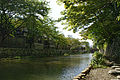
A promenade along the canal
-
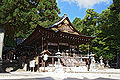
Himure Hachimangu (God of war) shrine
-

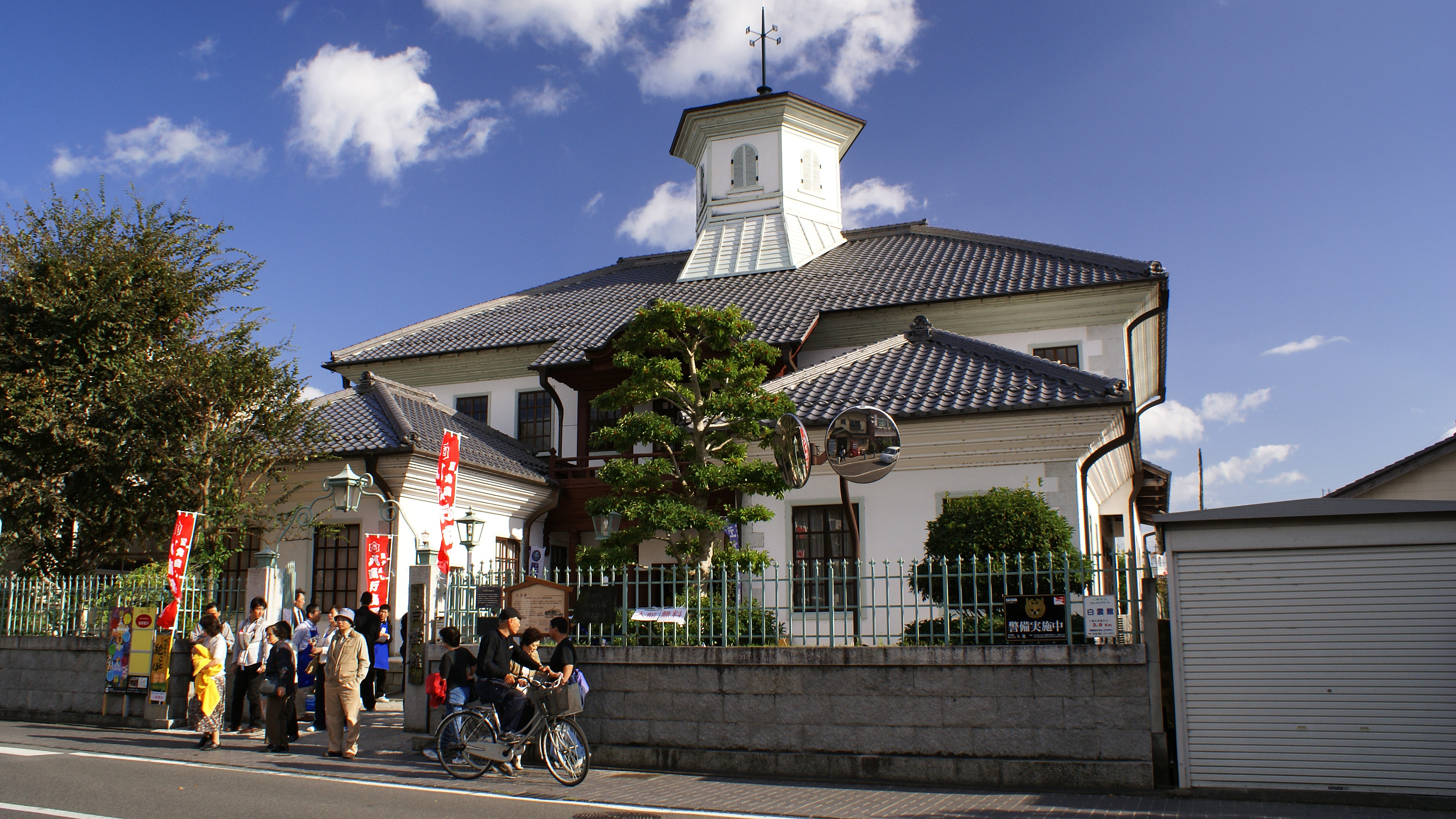
Hakuun-kan (Tourist information)
-

Western-style houses designed by Vories in Ikeda-cho
-
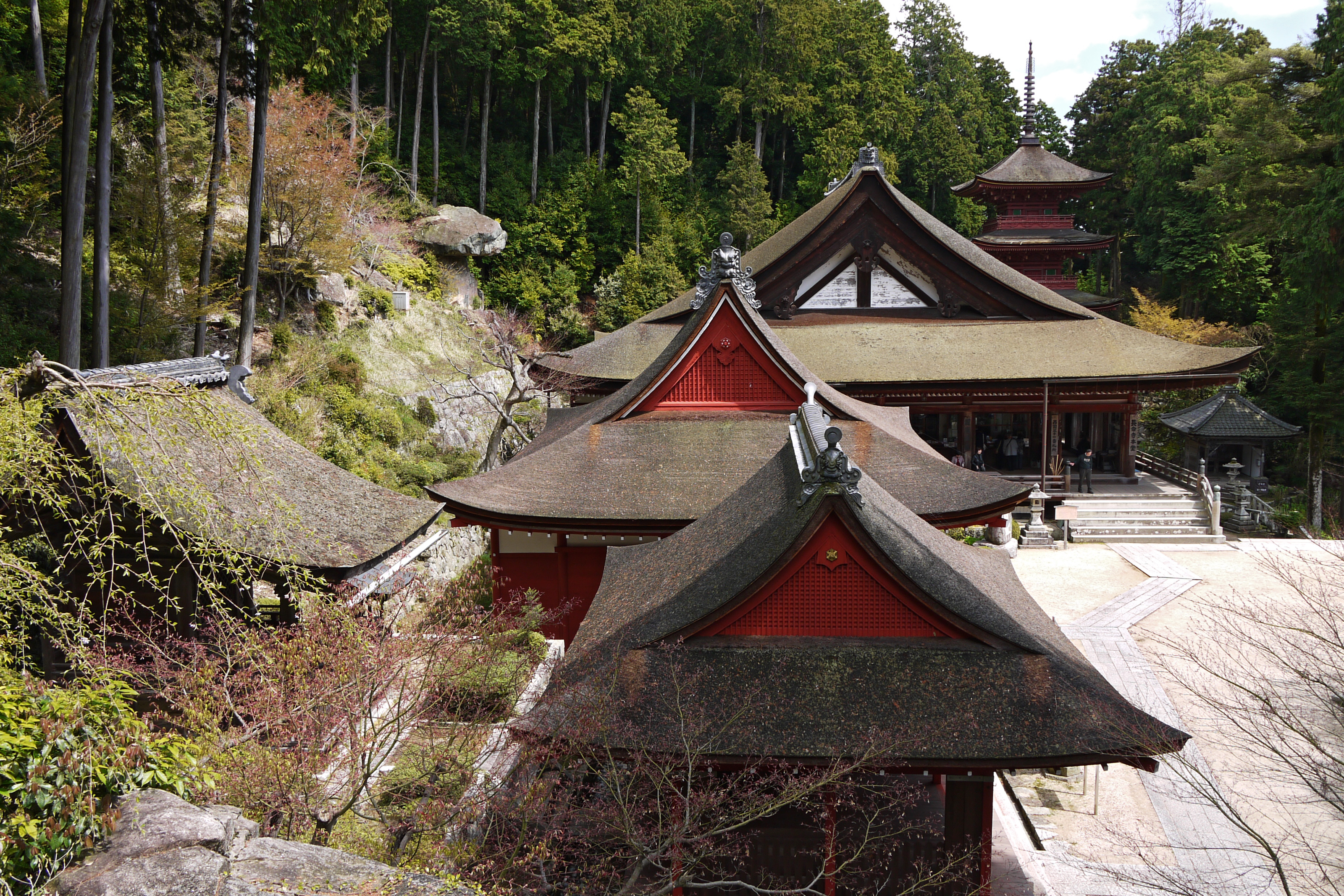
Chomei-ji Temple
-
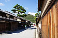
Merchant's residences at Shinmachi street
References
- ^ "2010 census". Ministry of Internal Affairs and Communications. http://www.stat.go.jp/data/kokusei/2010/jinsoku/zuhyou/jinsoku.xls. Retrieved 29 April 2011.
- ^ "Database of Registered National Cultural Properties". Agency for Cultural Affairs. http://www.bunka.go.jp/bsys/maindetails.asp?register_id=103&item_id=15. Retrieved 6 September 2011.
- ^ "Database of Registered National Cultural Properties". Agency for Cultural Affairs. http://www.bunka.go.jp/bsys/maindetails.asp?register_id=412&item_id=00003482. Retrieved 29 April 2011.
External links
- Official webpage (Japanese)
- Omihachiman Tourism Association (Japanese)
 Shiga Prefecture
Cities 
Echi District Gamō District Inukami District Categories:- Cities in Shiga Prefecture
- Shiga geography stubs


Wikimedia Foundation. 2010.