- Ryūō, Shiga
Infobox City Japan
Name= Ryūō
JapaneseName= 竜王町
Map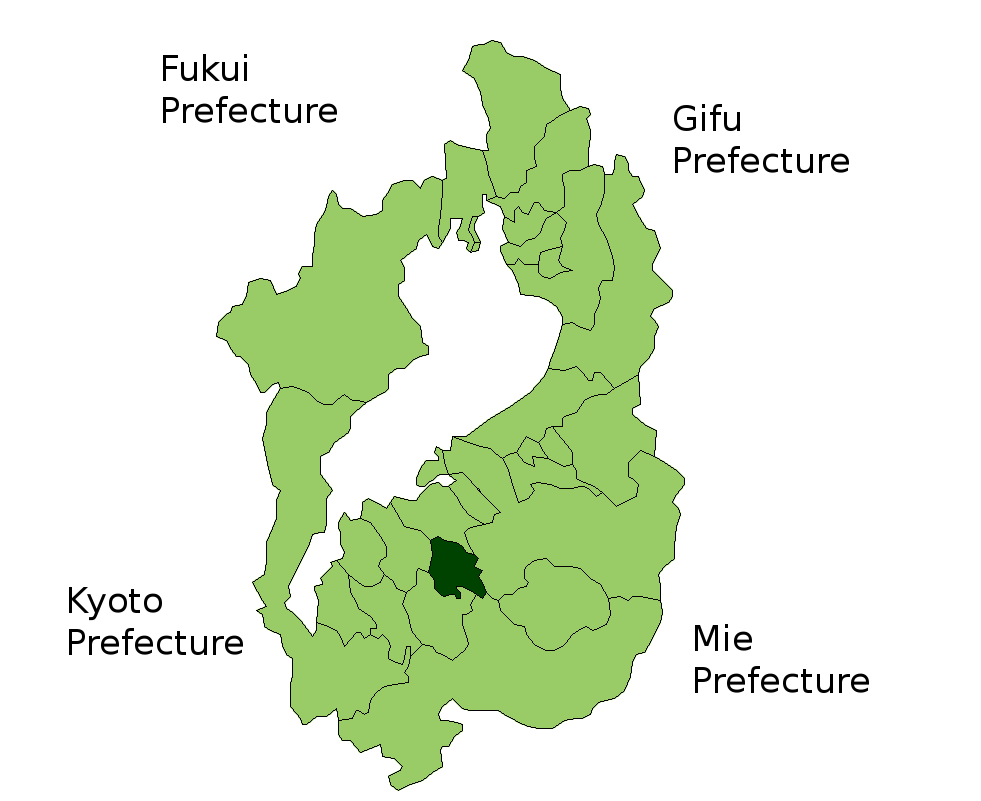
Region=Kansai
Prefecture= Shiga
District=
Area_km2= 44.52
PopDate= February 2003
Population= 13,403
Density_km2= 301.06
Coords= coord|35|4|N|136|7|E|region:JP_type:city
Tree=Pine
Flower=
Bird=
Symbol
SymbolDescription=
Mayor= Kiyoji Yamaguchi
CityHallPostalCode= 520-2592
CityHallAddress= 3 Oguchi, Ryūō-chō, Gamō-gun, Shiga-ken
CityHallPhone= 0748-58-3700
CityHallLink= [http://www.town.ryuoh.shiga.jp/english/index.html Ryūō Official Website]nihongo|Ryūō|竜王町|Ryūō-chō is a town located in Gamō District, Shiga,
Japan .As of 2003, the town has an estimated
population of 13,403 and a density of 301.06 persons per km². The total area is 44.52 km².Geography
Ryūō is located in the center of Shiga. The Hinogawa River and its 3 tributaries, Zenkojigawa, Sofugawa, and Soshirogawa, run on the flat land between Mount Kagamiyama on the West and Mount Yukinoyama on the East. Hilly regions cover the southern area in and out of Ryūō.
* Mountains: Kagamiyama (also called Western Ryūōzan), Yukinoyama (also called Eastern Ryūōzan)
* Rivers: Hinogawa, Zenkojigawa, Sofugawa, SoshirogawaNearby cities
*Ōmihachiman
*Higashiōmi
*Yasu
*Koka
*KonanHistory
* April 1st 1889
** Gamo District; Kawamori-mura, Iwai-mura, Yamanoue-mura, Hayashi-mura, Sho-mura, Shinano-mura, Kayocho-mura, Shima-mura, and Ayado-mura merged as Nae-mura.
** Gamo District; Kagami-mura, Yamzura-mura, Ukawa-mura, Oguchi-mura, Kuzushi-mura, Shichiri-mura, Kawakami-mura, Hashimoto-mura, Yuge-mura, Sue-mura, Nishikawa-mura, Nishi-Yokozeki-mura, Yamanaka-mura, and Okaya-mura merged as Kagamiyama-mura.
* April 29th 1955 Ryūō-chō was established with merging Kagamiyama-mura and Nae-mura.
* 1956 Ryūō-chō Seinen-dan, an organization for young people, was organized. (Similar group existed before)Administration
* Kiyoji Yamaguchi (2004 - )
Economy
Industry
* Car Industry - Daihatsu Motor Co., Ltd.
* Industry Ratio
** Farmer 6.3%
** Industry 52.4%
** Service 41.3%Sister cities
*
Sault Ste. Marie, Michigan ,United States Since September 9th 1974Local
Education
; Elementary Schools
* Ryūō Elementary School
* Ryūō-Nishi Elementary School; Junior High Schools
* Ryūō Junior High SchoolTraffic
Railway
There are no railways in Ryūō.
The nearest station is Shinohara Station, but many people find the Ōmihachiman or Yasu stations to be more convenient.
Road
; Toll Road
*Meishin Expressway
** Ryūō Interchange
** Ryūō Bus stop; National Highway
* Route 8
* Route 477; Prefecture Route
* Trunk Line
** Pref. No. 13
** Pref. No. 14
** Pref. No. 22
* General Line
** Pref. No. 164
** Pref. No. 165
** Pref. No. 166
** Pref. No. 176
** Pref. No. 541Bus
* Ōmi Bus
Wikimedia Foundation. 2010.